
The Outer Banks (OBX)
The Outer Banks are a thin, narrow strip of barrier islands off the mainland coast of North Carolina. They differ from other barrier islands in their great distance from the mainland (20-40 miles) and in their shape (cuspate forelands or capes). Two currents–the cold Labrador and the warm Gulf Stream–collide just offshore at one such cape, Cape Hatteras in Buxton, North Carolina.
Wind is the primary driving element in the Outer Banks. It animates everything, giving life to the sand and to the waves, as well as influencing vegetation, water color, and even which insects will be where and when. To live in the Outer Banks is to love weather. All kinds of weather, including, and especially, the harsh weather.
The Outer Banks have always been a place apart, for me. More immediate. More exciting, risky, and adventurous. Somewhere I feel more alive, closer to the things that matter. A place that always leaves me wanting more, time. I’ve never been a local. I wouldn’t call myself a tourist. I’m somewhere between. Perhaps I’m just someone who loves the place.
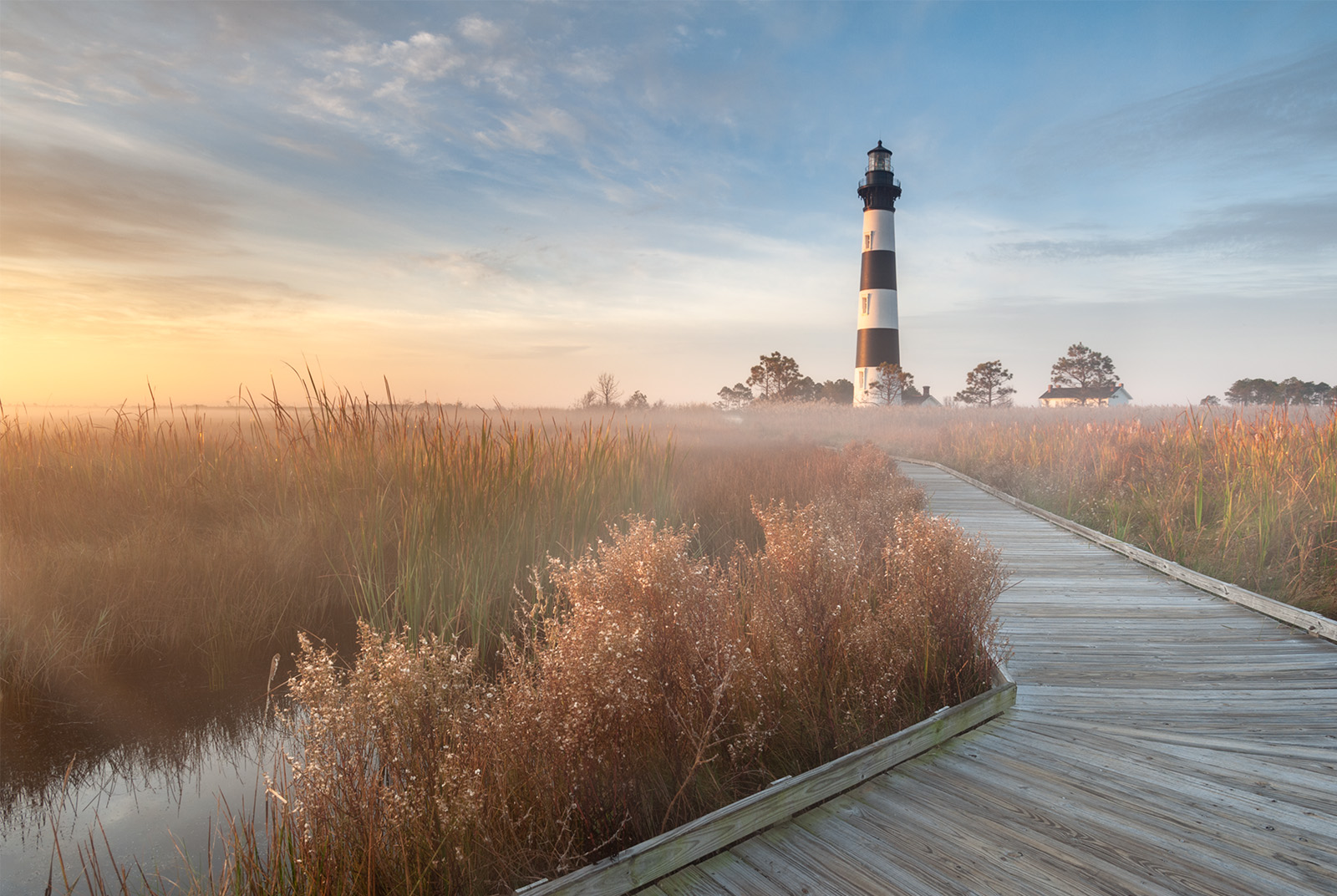
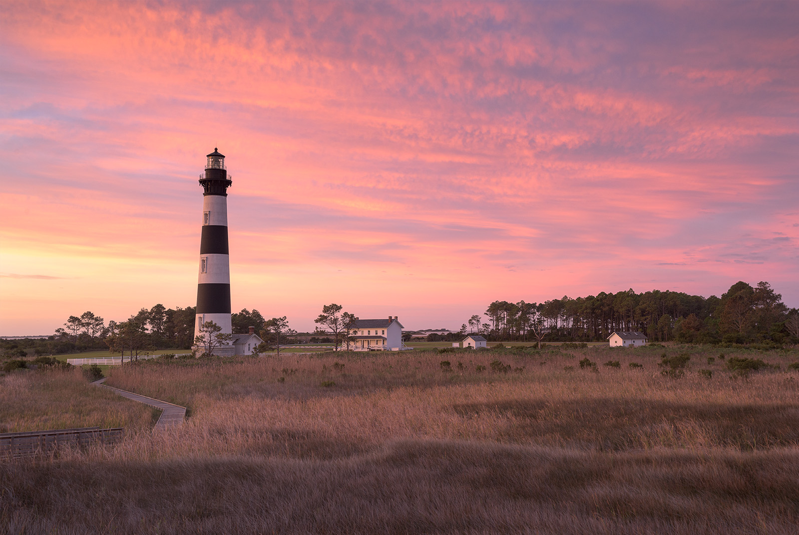
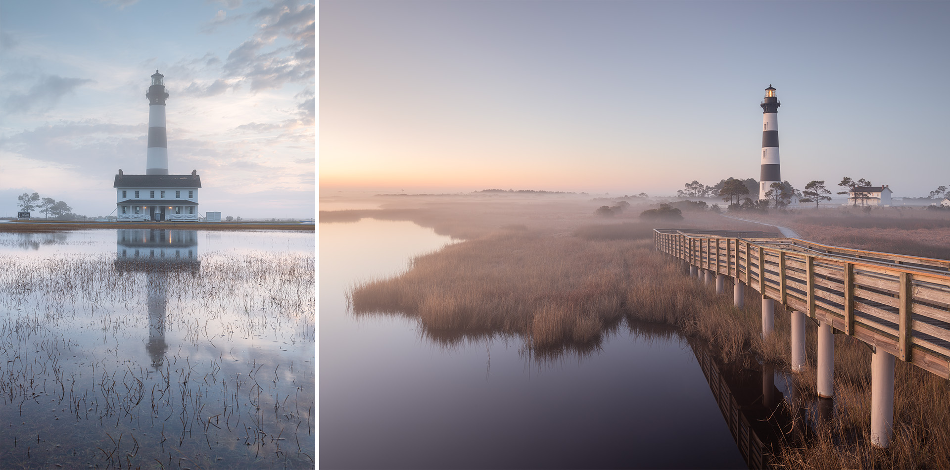
October 2013. Lighthouses were created as navigational aides for sailers, especially useful during mornings with foggy conditions. While the radiant fog on this autumn morning was minimal, it was suggestive enough to compliment the otherwise favorable conditions and push this photograph to the forefront of my collection with print and licensing purchasers. Radiant fog happens during the transitional months along the coast when warm, moist ocean air mixes with cooler air hanging low over the inland marshes and wetlands. The combination creates a thin layer of ground fog that can be magic behind the lens, and can act as a visual nod towards the historic purpose and function of the lighthouse.
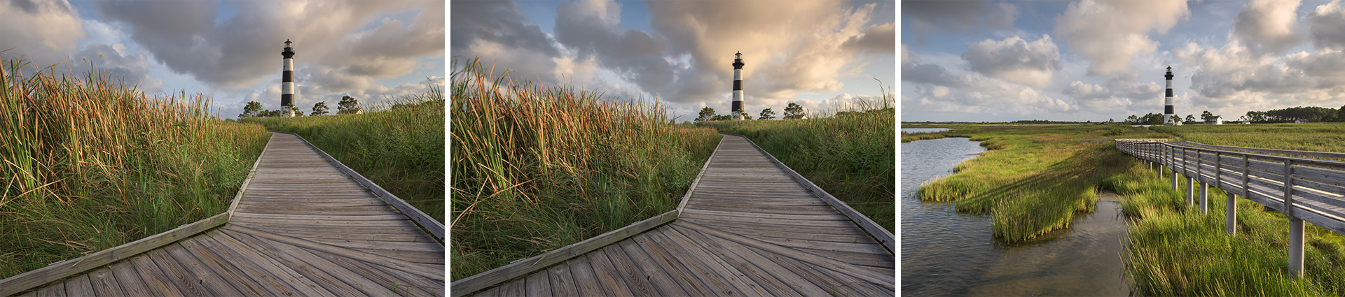
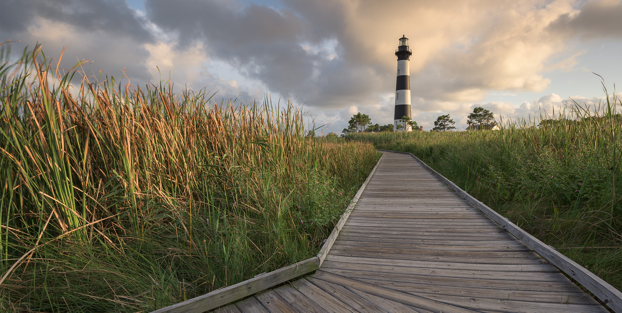
August 2015. Busy skies and lush marsh grass frame up what was my favorite composition of Bodie Island Lighthouse. Low-angled evening light from the west provides a subtle kiss of warmth and color on the landscape elements. The lighthouse was busy with visitors on this evening. Typically, this might’ve discouraged me. The conditions on this evening, however, were just too good to pass. I’m a huge fan of subtle light and gentle beauty, and here on this evening, I found both.
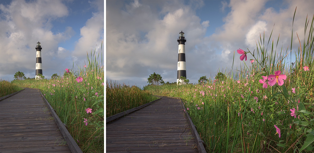
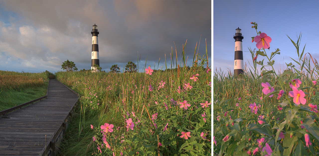
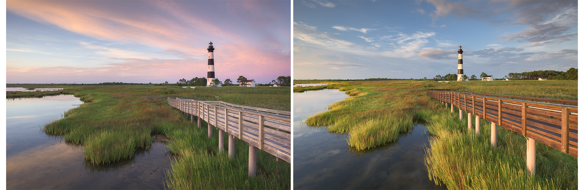
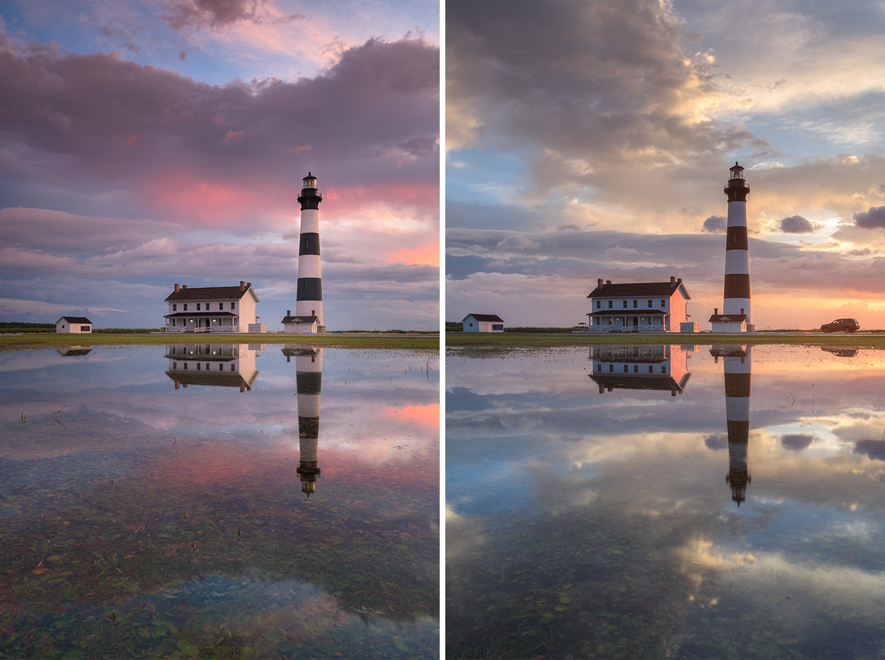
September 2017. When leading a photography adventure and/or workshop, I always set the clients on the views they find most intriquing. If I do pull out my camera on these trips, I find myself often working compositions that are wildly different from what I might typically. This frame was taken standing atop a wooden bench on the elevated viewing platform behind the Bodie Island Lighthouse while helping friend and photographer, Tommy White, to lead a Mountains to Sea Photography Workshop.
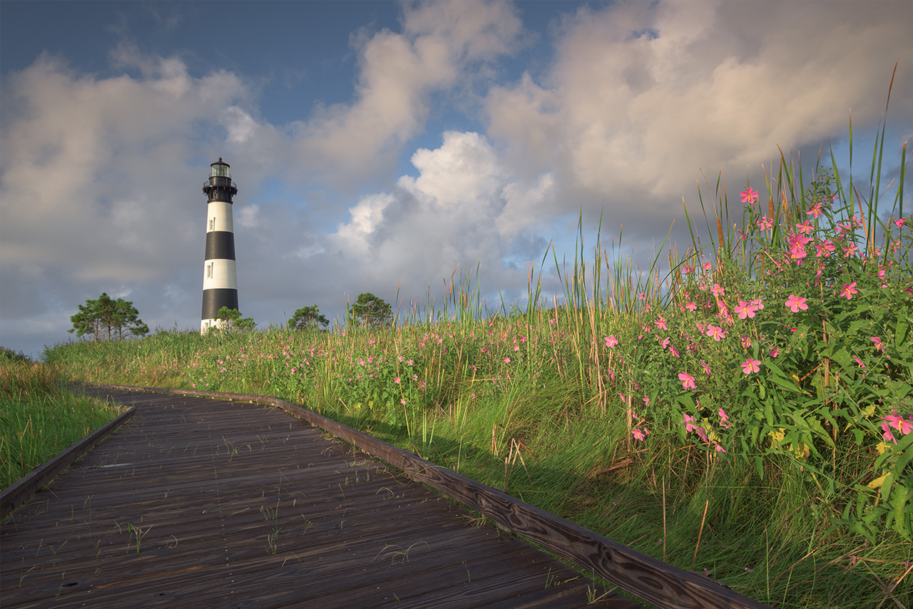
Bodie Island Lighthouse is an iconic and historic structure just south of Nags Head, North Carolina. Part of the Cape Hatteras National Seashore, Bodie Island lighthouse is nestled into beautiful marshlands connected visually to both the Atlantic Ocean and the soundside estuaries. The structure is conical in shape and constructed of brick. A unique daymark–the horizontal black and white stripes–and a a unique nightmark–or sequence of flashes from it’s functional fresnal lens–identifies this lighthouse and differentiates it from other lighthouses guarding this rugged barrier coast. Bodie Island Lighthouse stands at nearly one-hundred and seventy feet in height. This is the third version of the lighthouse, originally built in 1872 and most recently renovated in 2011. Bodie Island was named for the family who once owned the land, and it is pronounced “body” island.
If you’re like me–or many others who venture to the Outer Banks with a camera–Bodie Island Lighthouse will likely be a jumping off point for your coastal adventures behind the lens.
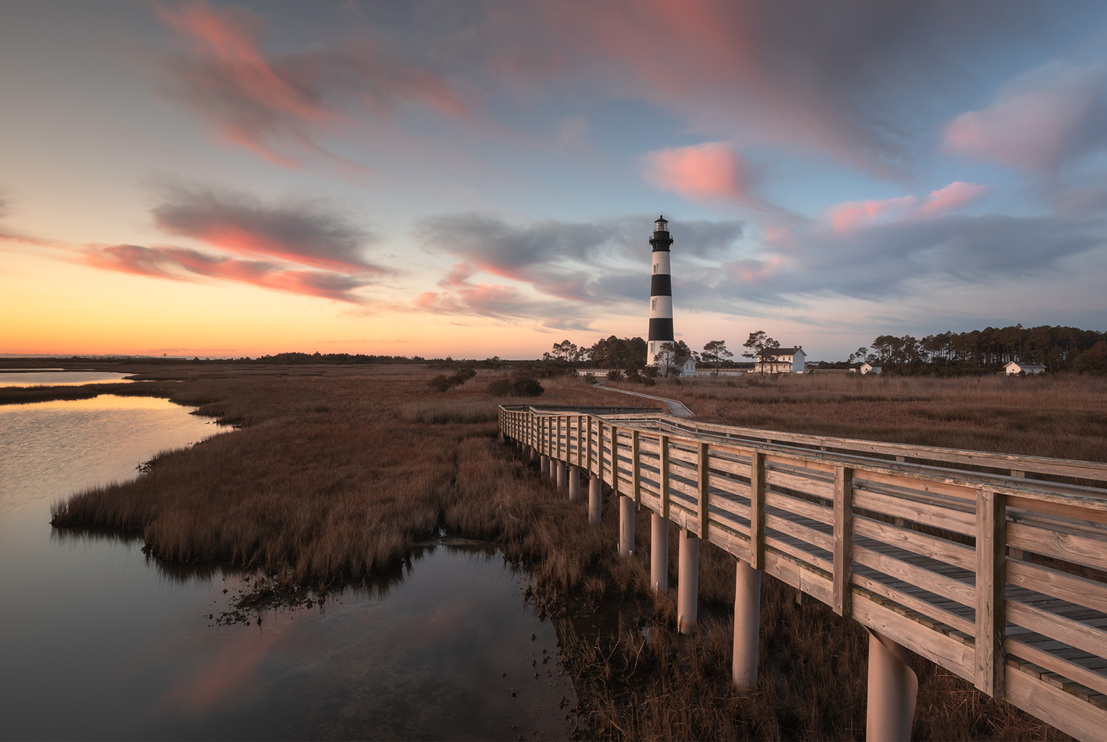
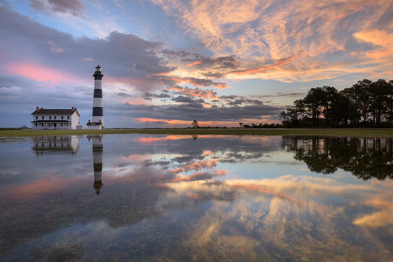
January 2020. Can winter be beautiful? As I began to visit the Outer Banks every January, this became the dominant driving question. At Bodie Island Lighthouse could the elements still speak a confident visual story? After nearly a decade of winter visits, I have my answer. The question has now shifted, for me, to the viewer: what do you think?
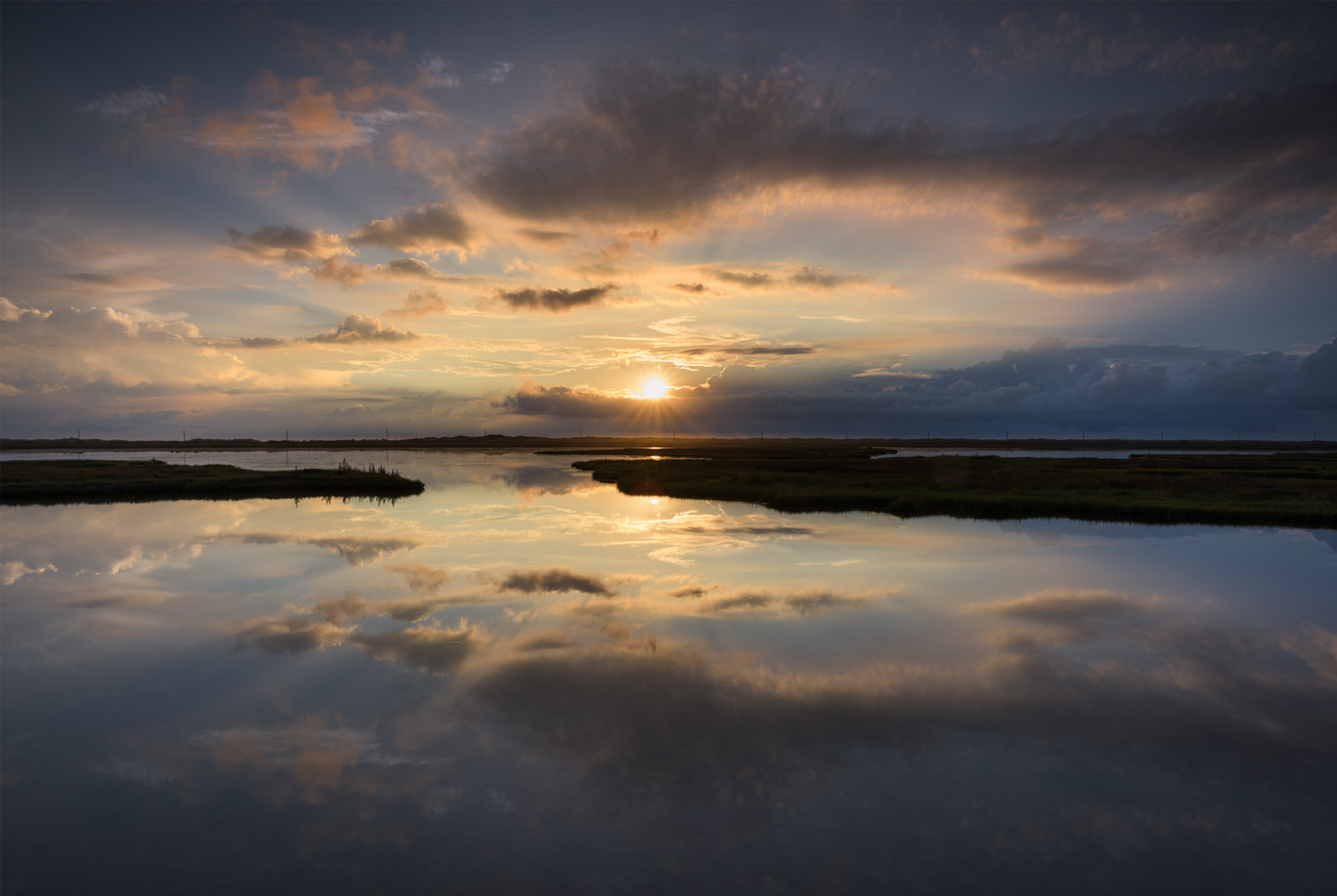
January 2021. This particular winter was the wettest I’ve experienced since making winter migrations to the Outer Banks. It rained consistently. The conditions were challenging. However, reflective puddles and fog were readily available. In hindsight, I wish I’d leaned in more to the potential of these particular conditions.
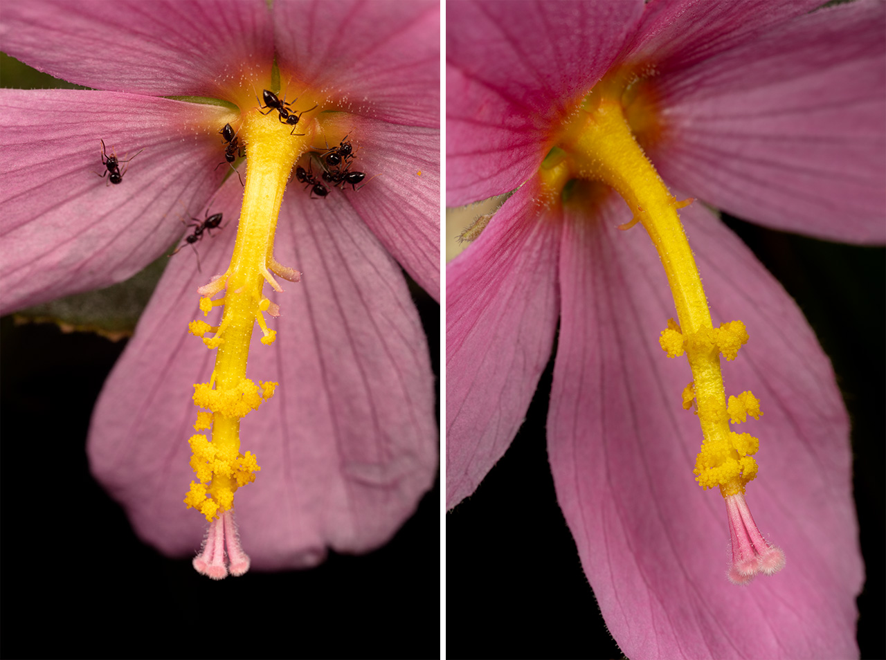
Seashore Mallow, also known as the Salt Marsh Mallow (or more technically as Kostelzkya pentacarpos), is a native, herbaceous plant that thrives along roadsides and within the marshes of the Outer Banks. Salt tolerant, it grows where other plants cannot. The beautiful, pink, hibiscus-like flowers have a long extended bloom season, appearing from May to October. In 1990, the Seashore Mallow earned status as North Carolina’s Wildflower of the Year.
If you’re photographing the Outer Banks during the summer months, keep an eye for compositions that include this wildflower. It’s a strong visual cue towards season, place, and time, as well as a positive indicator of wetland and marsh health.
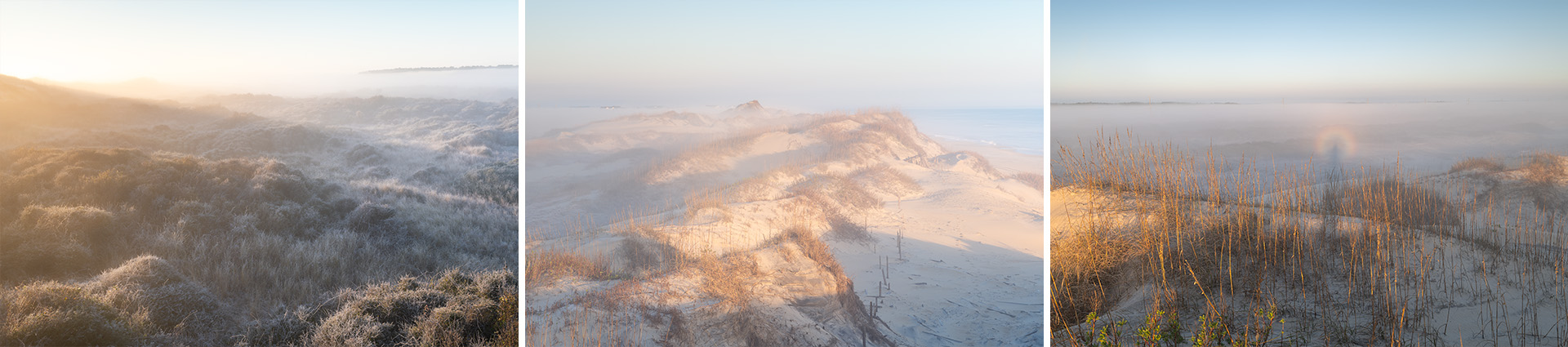
January 2021. Windless mornings on the Outer Banks are rare. Temperatures flirting with freezing–even in January–are also rare this near to the ocean. Both happened on this morning. Moisture-laden air created frost on the back-dune of Cape Hatteras National Seashore and thick fog laid like a cold blanket over the landscape. I was surprised, upon climbing the primary dune, to find my reflection within a Brocken Spectre (a circular rainbow). This was an unexpected morning of magic in place. I crave these. | Photo of the Day |
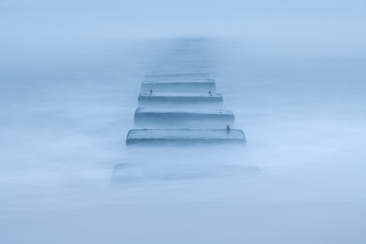
January 2023. I’ve tried just about every set of conditions at these concrete blocks. Imagine my surprise when I returned to the computer with these stormy blue hour shots froom a rainy morning: I actually liked them! Eliminating the sky altogether and simplifying the color palette emphasized the subject, I think. While there’s considerable room for improvement regarding capture, I found an idea that feels exciting.
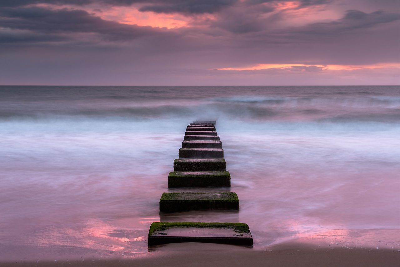
January 2024. Storm drainage outflow pipe in Nags Head, North Carolina during a pink sunrise. I shot this from further back with a medium telephoto lens and a longer exposure. My idea was to use the color and waves as elements, but to also minimize them to keep focus, visual weight, and power on the blocks themselves.
Outflow pipes. Following the Ash Wednesday storm of 1962, the North Carolina Department of Transportation built a number of outflow pipes in the towns of Nags Head and Kitty Hawk, North Carolina to clear the roads and parking lots of standing water following storm events. Gravity carries the water off streets and out past the initial breakers of the Atlantic Ocean. From the beach, these pipes are mostly buried. What can be seen instead–especially during lower tides–are a set of curious concrete blocks that anchor the pipe below the surface. They resemble a mysterious pathway out and into the ocean, and they make very interesting photographic subjects in the coastal landscape of the central Outer Banks (OBX).
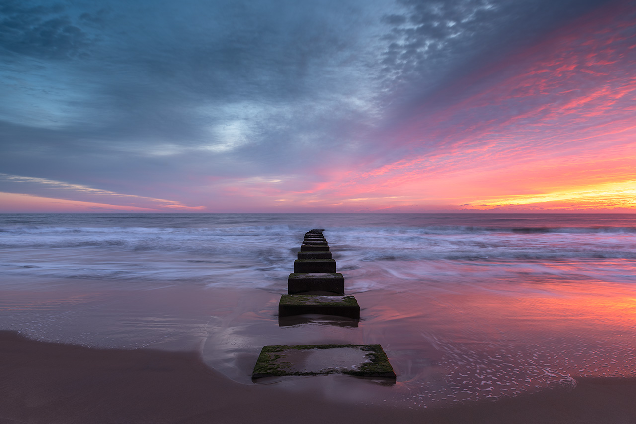
January 2025. I prefer a straight-on, centered composition with the ocean outflows in Nags Head, North Carolina. However, this composition is rarely optimized for the sunrise color, which blooms to frame right. On this morning, I found the spreading color in the sky complimemtary to the disappearing point on the horizon that the concrete blocks lead the eye towards within the frame.
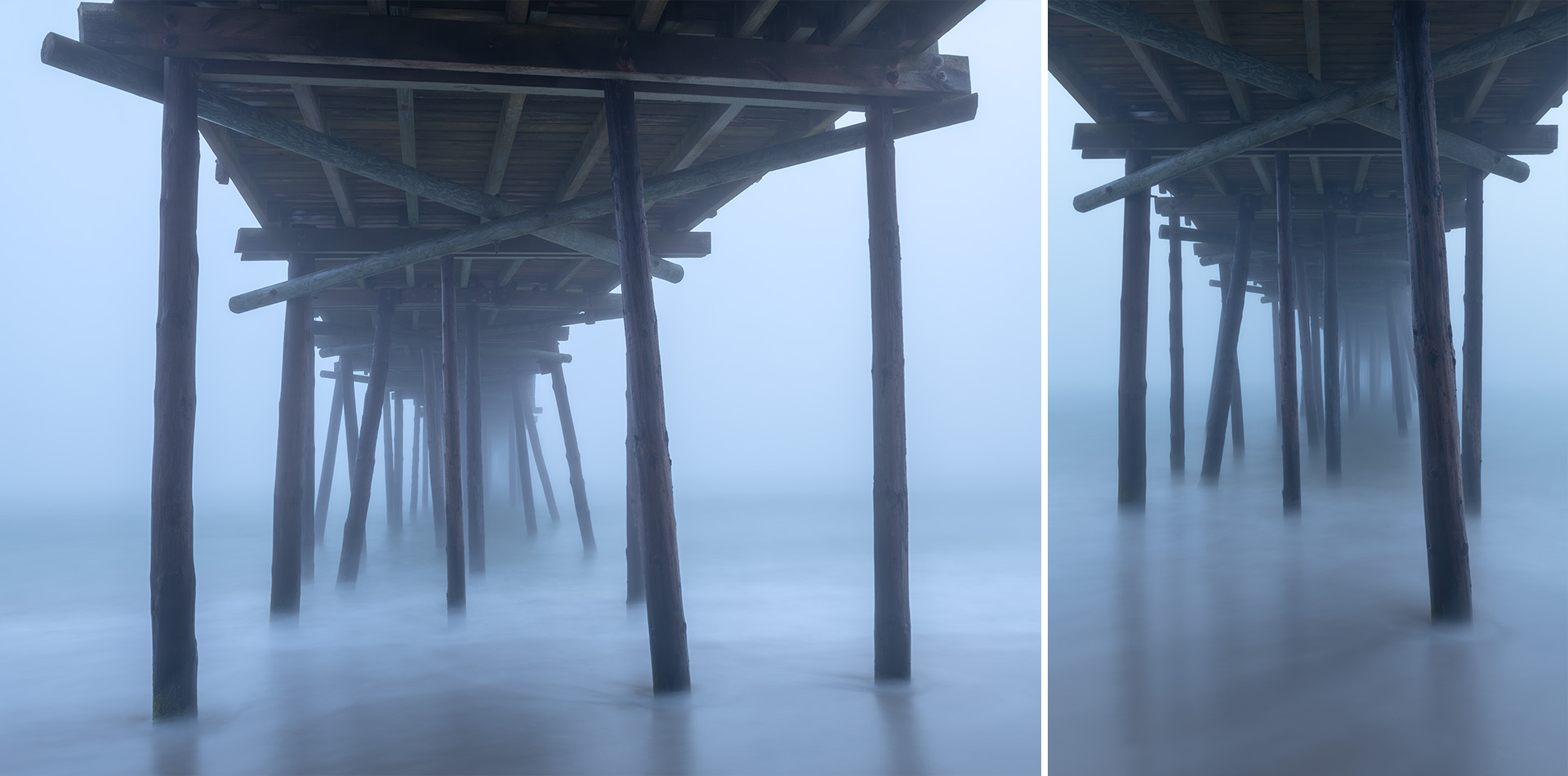
January 2024. Foggy conditions along the coast are a personal favorite, especially at the older wooden fishing piers. This is the Outer Banks Fishing Pier in South Nags Head, North Carolina. Fog completely obscured the horizon and a longer exposure smoothed the Atlantic Ocean. The result was a gentle mystery. The water on this January winter morning, I remember, was freezing on my bare feet as I tried to count the seconds on each longer exposure! | Photo of the Day |
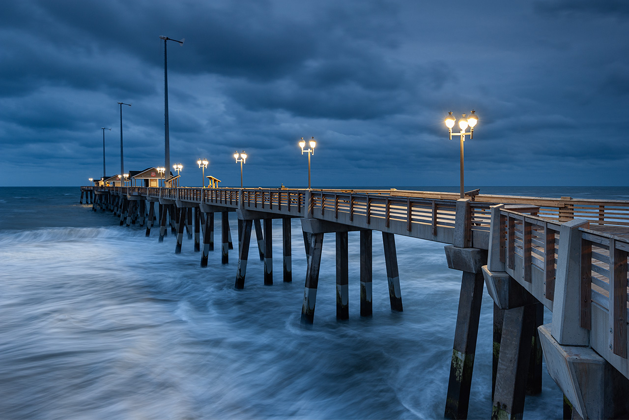
September 2014. The blue hour of a stormy morning at Jennette’s Fishing Pier in Nags Head, North Carolina. Early opening hours during the shoulder season allowed access before sunrise. An approaching storm provided a deep and extended blue hour at dawn.
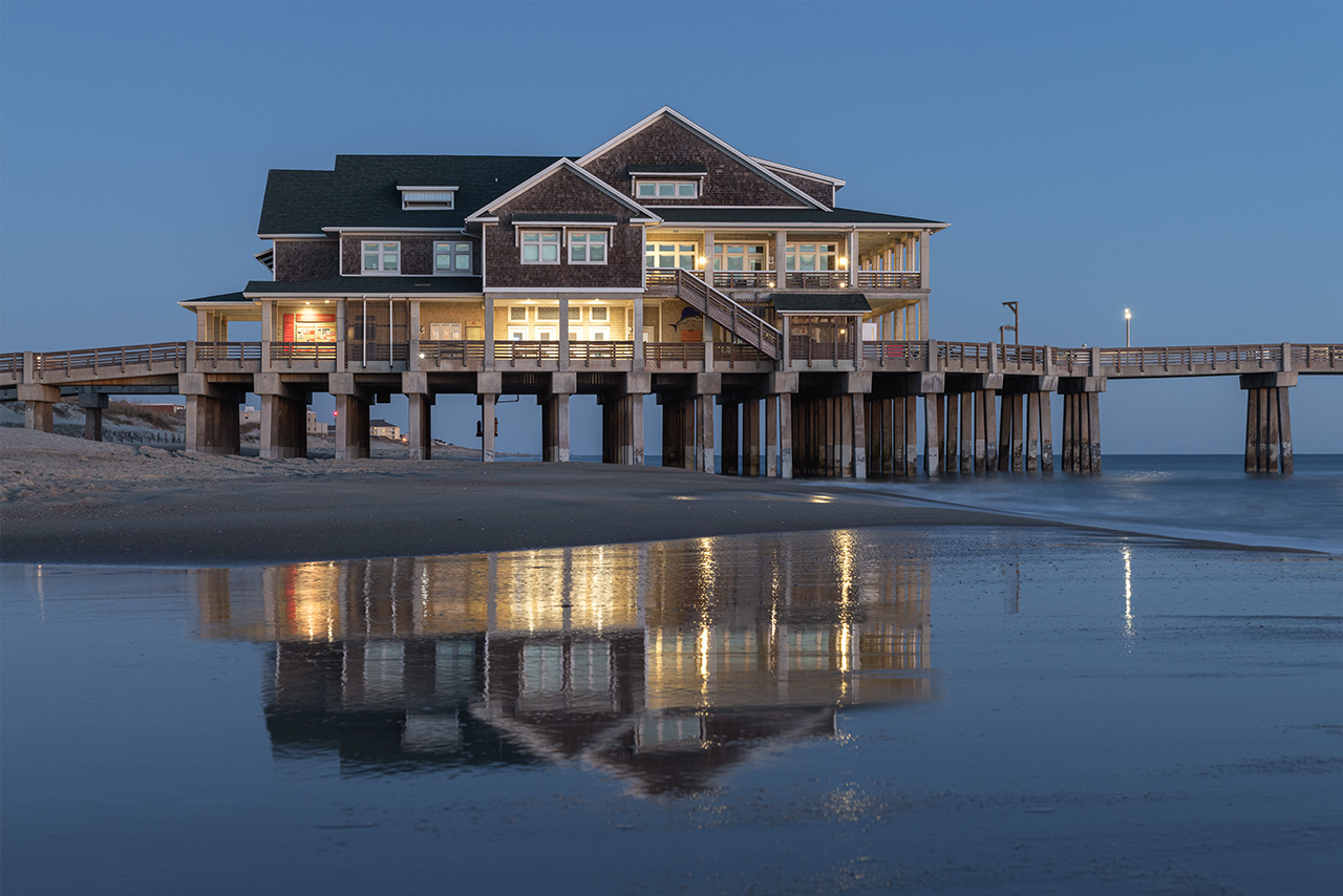
January 2023. Clear skies left me looking for different interpretations of Jennette’s Fishing Pier in Nags Head, North Carolina. High tide washed a wide, flattened expanse of sand on the southern side of the pier. Each wave would leave behind a temporary reflection of the structure. This has been an idea I continue to work every time I visit Jennette’s Pier in the Outer Banks.
Jennette’s Pier was built in 1939 by Walton Jennette. It was the first fishing pier in the Outer Banks. Jennette’s stood in various iterations for nearly seventy years until Hurricane Isabel in 2003. The latest version of Jennette’s Pier was built in 2009 and opened to the public in 2011. It’s now a state owned and operated fishing pier, stretching 1000 feet into the Atlantic Ocean over sturdy concrete pilings. The structure of Jennette’s Pier is LEED certified and features energy efficiency technologies such as wind turbines, solar panels, and geothermal heating and cooling. Jennette’s Pier is located at Whalebone Junction milepost 16.5.
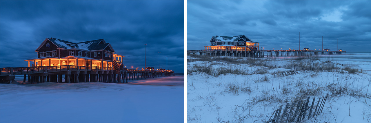
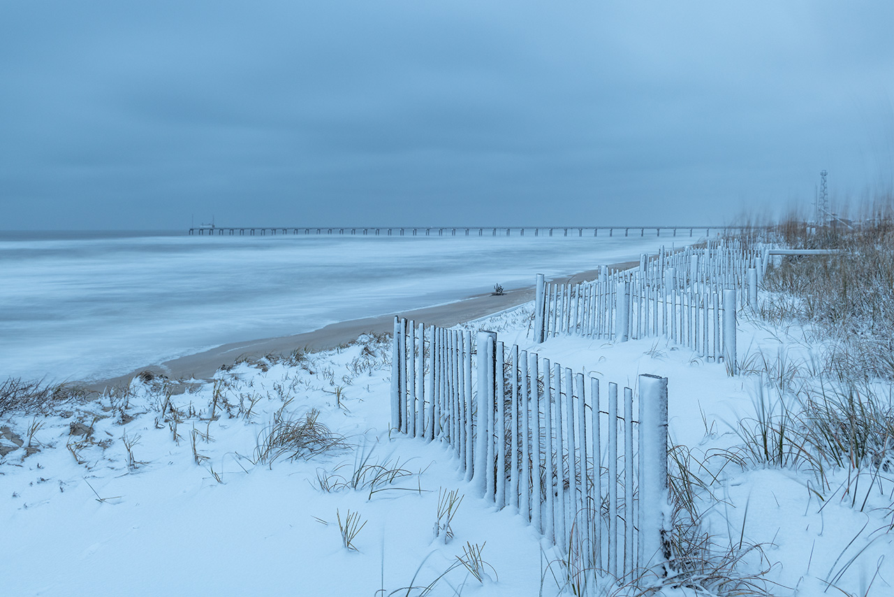
January 2025. Snow on the Outer Banks is relatively rare. The night before the photographs above, a strong storm swept the Outer Banks with four- to six-inches of snow overnight. Not wanting to navigate too far on untreated roads, I found myself at Jennette’s Fishing Pier in Nags Head, North Carolina. Snow on the sandy beach was certainly an odd sensory experience! | Photo of the Day |
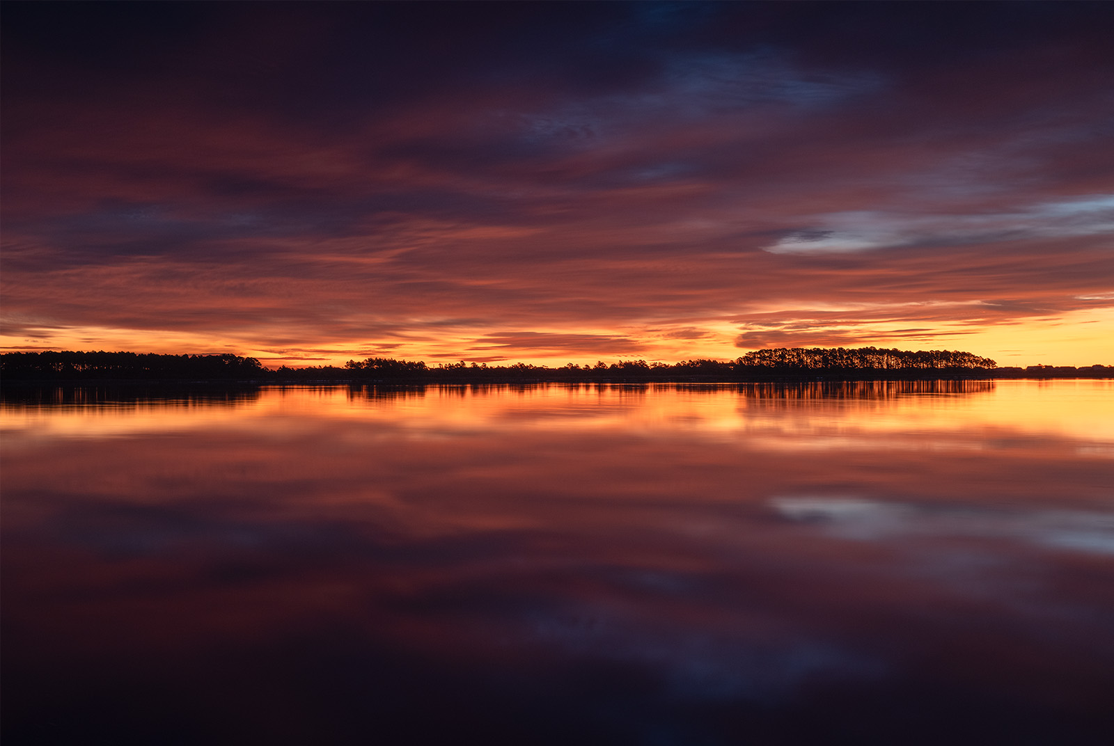
January 2024. I often stay in Manteo during my winter trips to the Outer Banks. Every morning, I left Roanoke Island via U.S. 64 and crossed over the Washington Baum Bridge towards Cape Hatteras National Seashore. On this morning, nearly a full hour before sunrise, calm conditions reflected an incredible sky over the Roanoke Sound along the causeway in South Nags Head. | Photo of the Day |
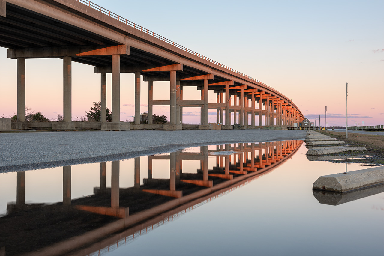
January 2020. The Washington Baum Bridge catching the first warm light of morning. Baum Bridge spans the Roanoke Sound, connecting Roanoke Island to Nags Head via U.S. 64. For many years, the parking area on the western side of Baum Bridge was known to flood and puddle easily after winter storms making it an interesting place to shoot reflective images.
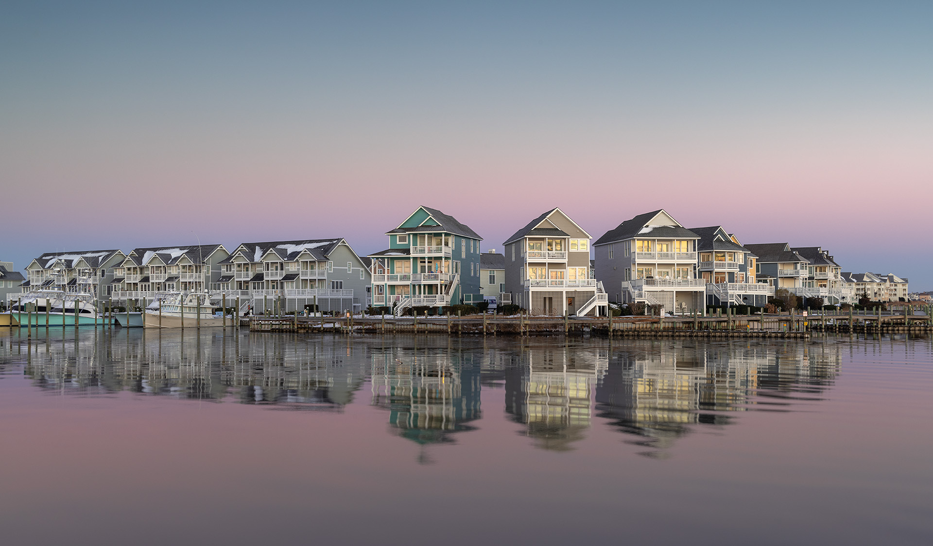
January 2025. Looking northwest at sunrise, the earth’s shadow leaves beautiful pastels over waterfront homes within the Pirates Cove community of Manteo, North Carolina. This area is part of Roanoke Island along U.S. 64. The waterfront homes view south and east over the Roanoke Sound and towards the Washington Baum Bridge carrying traffic along U.S. 64. Whenever the wind is calm and conditions are reflective, I feel pulled to stop at this location.
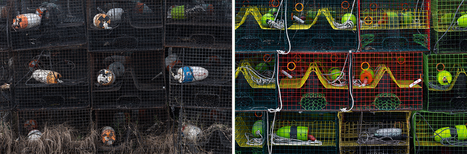
January 2024. January is a no-potting season on the internal waters of the Outer Banks. This time period is used by volunteers to clean up lost, derelict and abandoned fishing gear. It’s relatively common to see large stacks of colorful traps near various boat ramps and marinas during this period. These pots caught my eye for a few mornings before I gave in and made some images. | Photo of the Day |
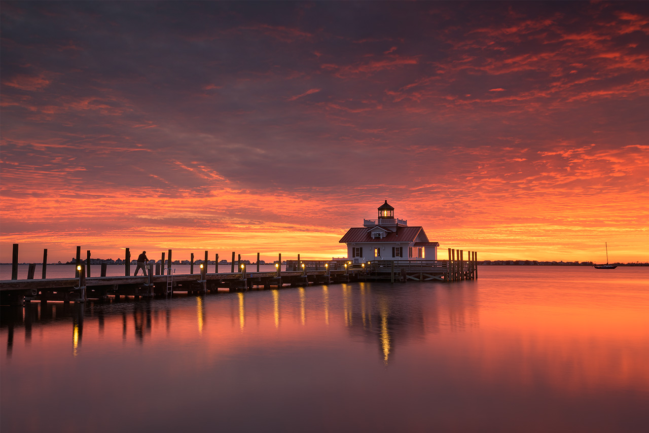
November 2016. Photographer and friend, Dave Allen, works the Roanoke Marshes Lighthouse during an exceptionally spicy sunrise over Shallowbag Bay. This replica lighthouse is the smallest in the Outer Banks.
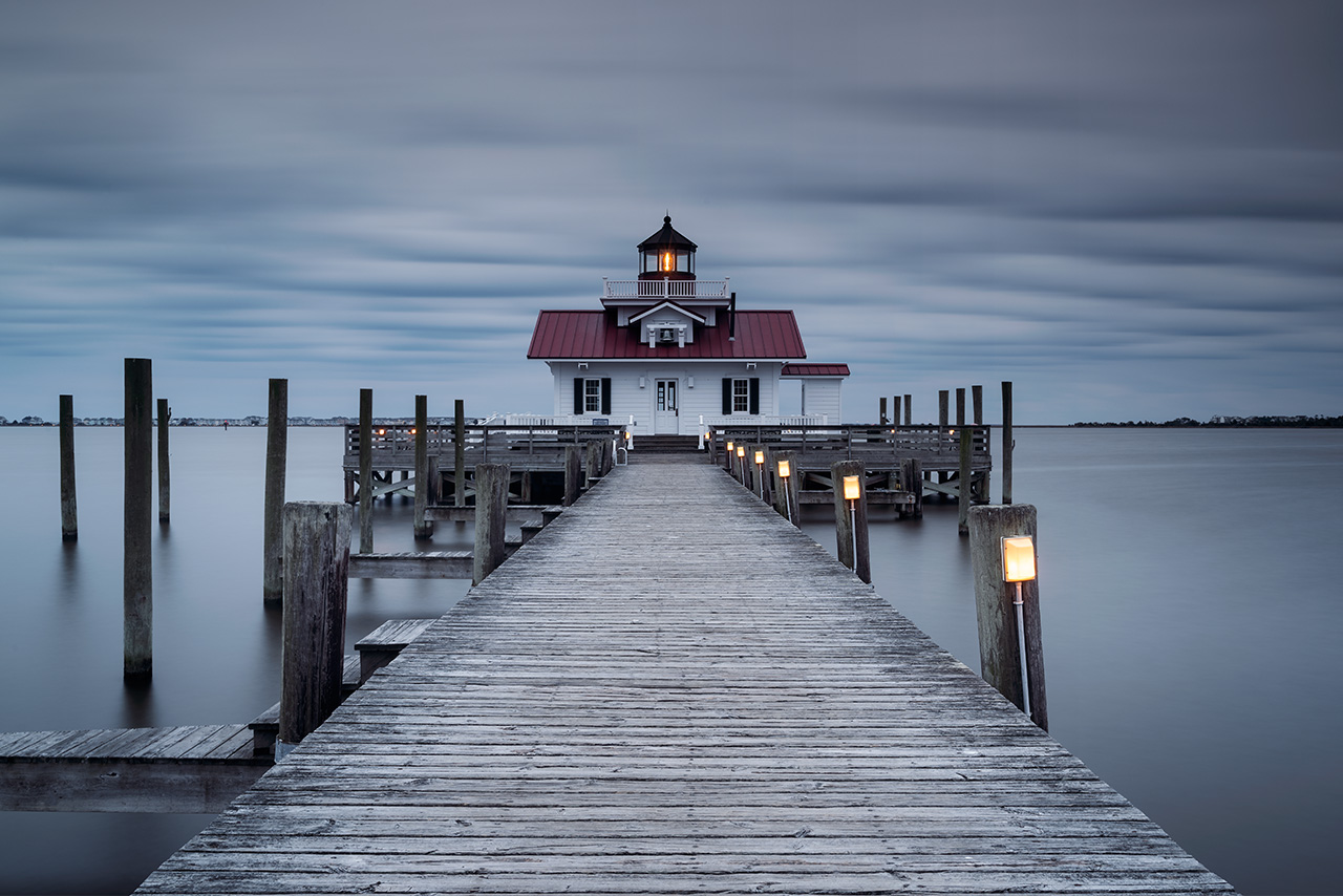
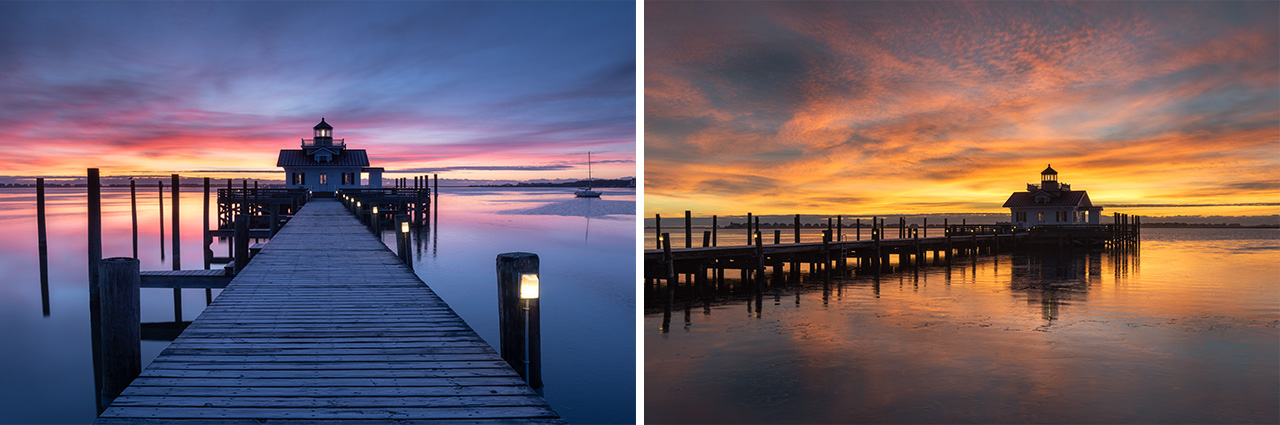
January 2019. My first overwinter in the Outer Banks I stayed within downtown Manteo, North Carolina. The Roanoke Marshes Lighthouse was the most convenient subject for first light photography; my lens found it often! | Photo of the Day |
Roanoke Marshes Lighthouse is the smallest lighthouse in the Outer Banks. And unlike the other original lighthouses, Roanoke Marshes is a replica, built and opened to the public in 2004. It sits about forty yards offshore of downtown Manteo, North Carolina, where, ironically, the town’s sewage and wastewater treatment plant previously stood. The lighthouse features a fourth-order fresnel lens on loan from the United States Coast Guard. It now serves as the centerpiece of downtown, sitting within Shallowbag Bay and the Roanoke Sound. Together with the Elizabeth II ship, the Creef Boathouse, and the fisherman’s net shed, the Roanoke Marshes Lighthouse celebrates the rich maritime history of the Outer Banks.
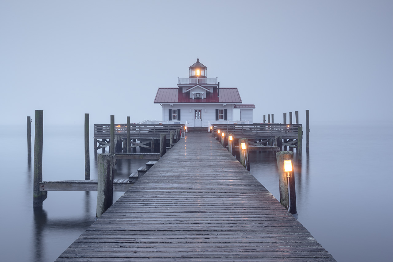
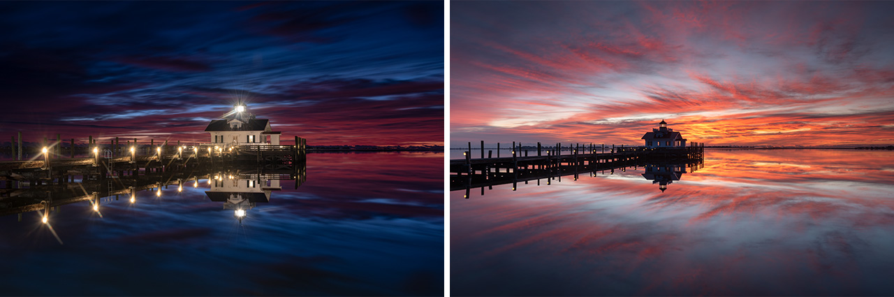
January 2020. A return trip to overwinter in the Outer Banks provided more amazing mornings along the downtown Manteo, North Carolina waterfront. The Roanoke Marshes Lighthouse was once again a frequent subject in front of my lens. | Photo of the Day |
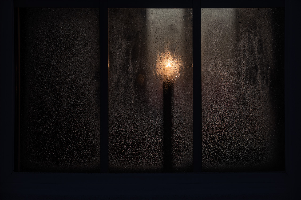
January 2023. While enjoying a quiet morning along the waterfront boardwalks in downtown Manteo, North Carolina, I was drawn to this evocative scene. It was warm and humid, the salt air heavy with moisture. This candle behind a dew-laden window at Roanoke Marshes Lighthouse felt really moody.
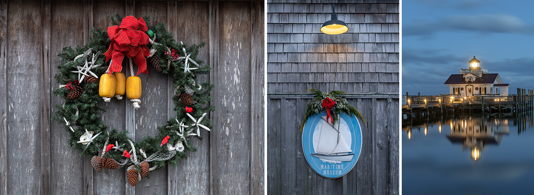
January 2022. Spending the holiday season in the Outer Banks always feels special, for me. Arriving before the annual New Year’s celebrations in downtown Manteo, North Carolina, I was lucky enough to catch the seasonal Christmas decorations still hanging on the Roanoke Marshes Lighthouse, as well as the Creef Boathouse and Roanoke Island Maritime Museum.
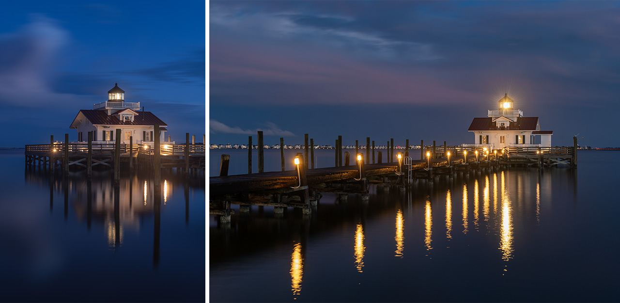
January 2025. My favorite conditions at Roanoke Marshes Lighthouse in downtown Manteo, North Carolina–aside from dramatic stormy skies–are a winter blue hour on a calm morning/evening. The structure and boardwalk glow with warm light, reflecting into the dark waters of Shallowbag Bay and the Roanoke Sound. It feels warm and peaceful.
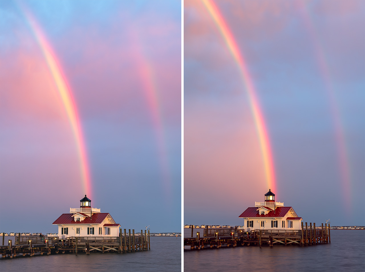
January 2025. I was shooting nearby in downtown Manteo, North Carolina when this rainbow began to develop in the sky. Rushing to get the lighthouse lined up in front of the double rainbow, things got hectic quickly! I wanted to take a moment to appreciate the beauty of the post-storm light and rainbow, but I was so driven to put a few frames onto the memory card. I wish rainbows weren’t so fleeting! | Photo of the Day |
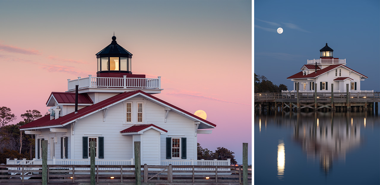
January 2025. The Wolf Moon of January rises to the east over the Roanoke Marshes Lighthouse in Manteo, North Carolina. To get both a clear sky and calm conditions in the Outer Banks was a gift on this beautiful winter evening along the downtown waterfront boardwalks.
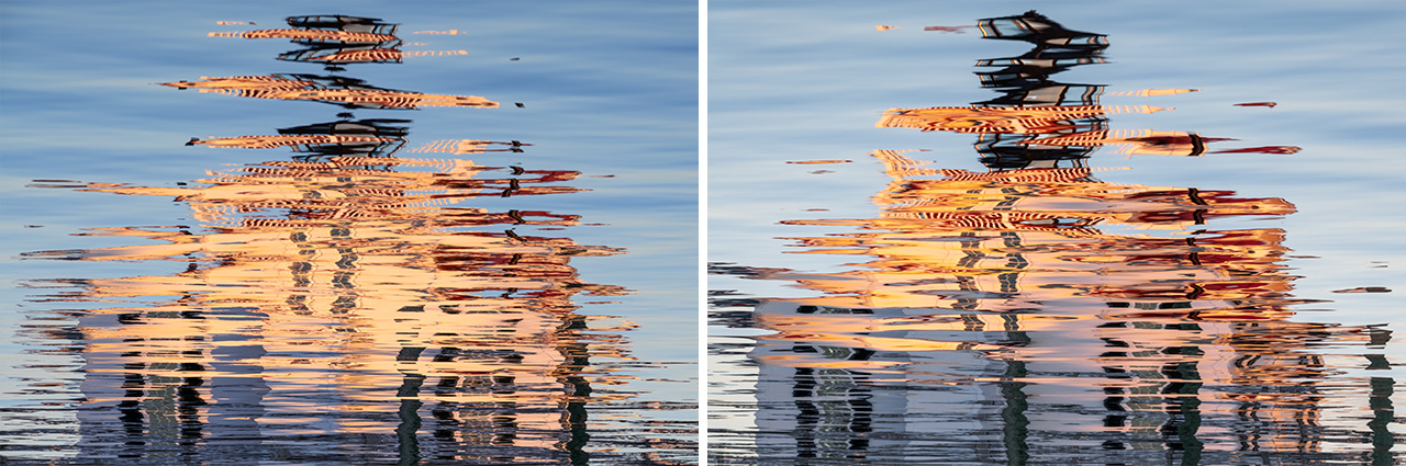
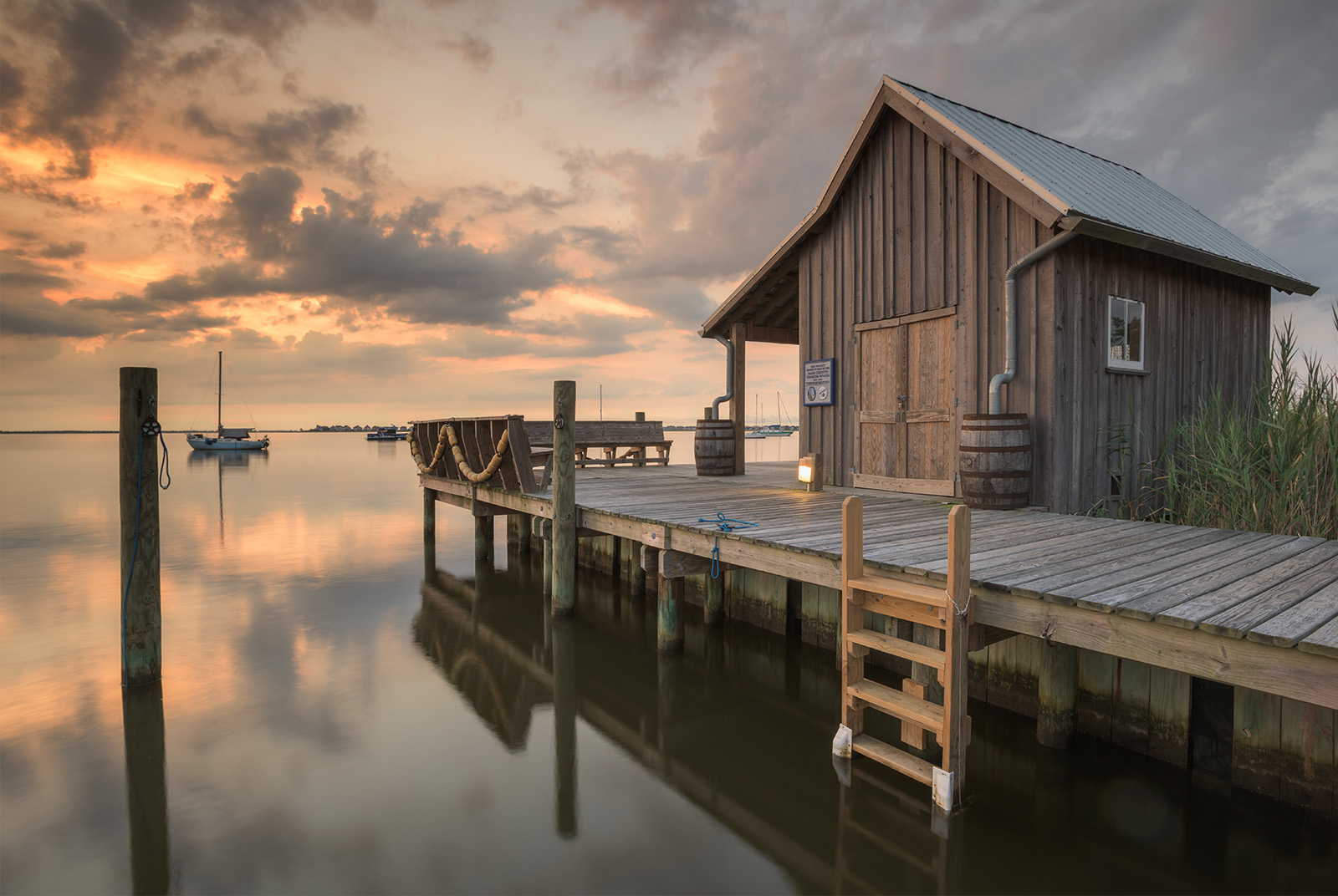
August 2015. The fisherman’s net shed is a rustric structure along the waterfront boardwalk in downtown Manteo, North Carolina. Together with the replica Roanoke Marshes Lighthouse and the Creef Boathouse, the Fisherman’s Net Shed serves as a reminder of the rich maritime history of the Outer Banks.
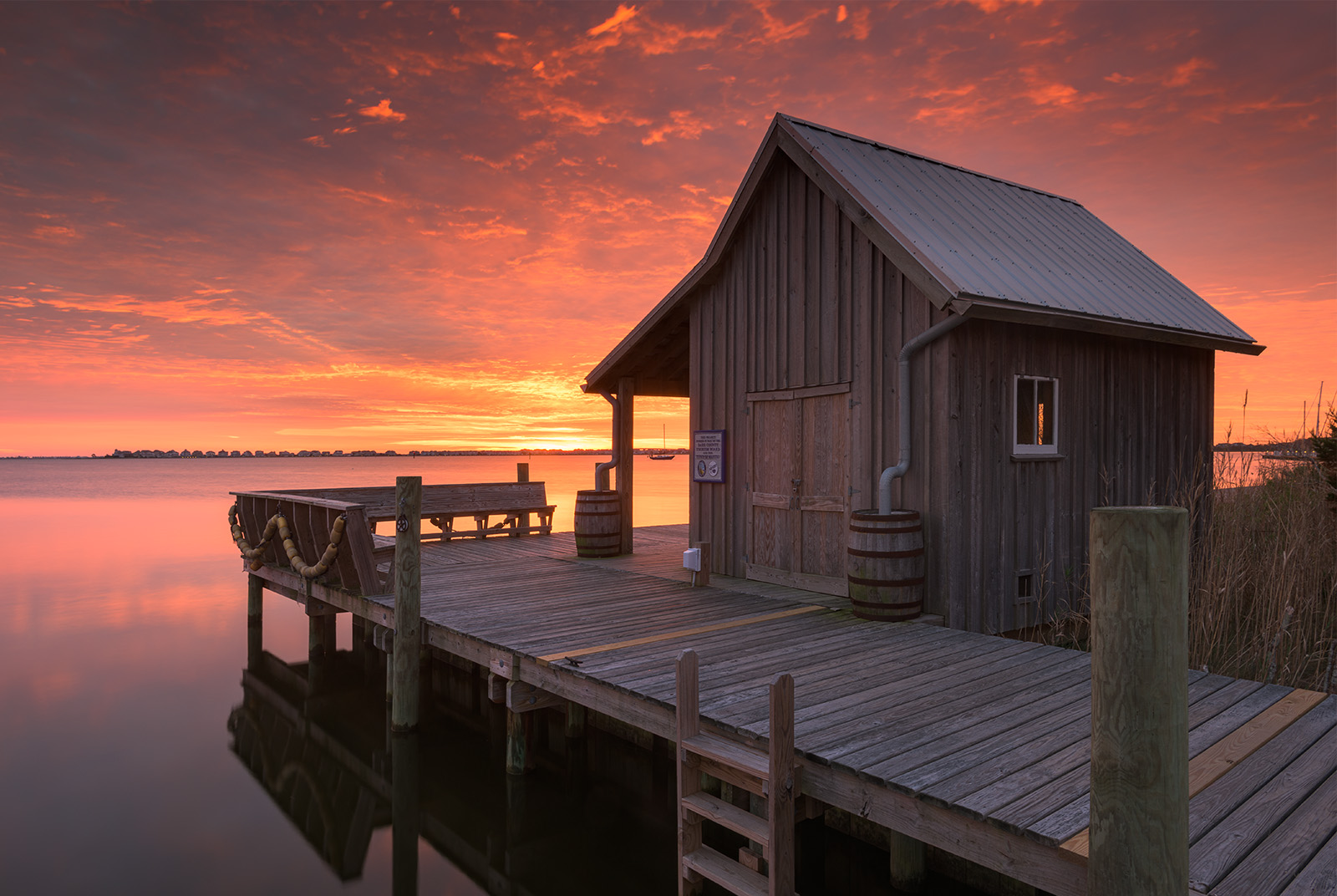
November 2016. While friend and photographer, Dave Allen, worked the boardwalk in front of Roanoke Marshes Lighthouse, I snuck over to the Fisherman’s Net Shed to take advantage of the spicy sunrise skies. The Net Shed is part of the Roanoke Island Maritime Museum. It celebrates the rich maritime history of the Outer Banks.
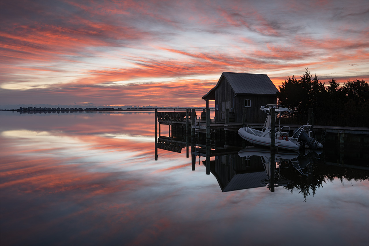
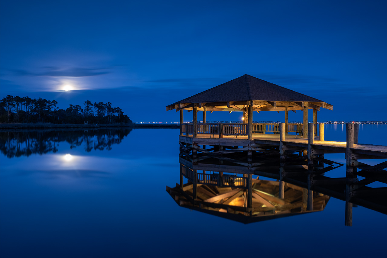
January 2020. The full Wolf Moon of January rises in the eastern sky behind a mirror reflection of Captain Carl E. Jordan Gazebo along the boardwalk and marina of downtown Manteo, North Carolina. This waterfront amenity and access is what makes Manteo a wonderful home base in the Outer Banks.
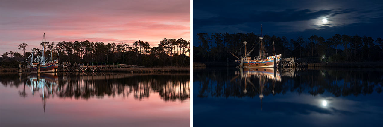
January 2020. The Elizabeth II is a 69-foot replica of an English merchant vessel. It sits just across the water from downtown Manteo, North Carolina along the banks of Roanoke Island Festival Park. The large, lit numbers of the coming year sit aboard waiting to bring in the New Year. | Photo of the Day |
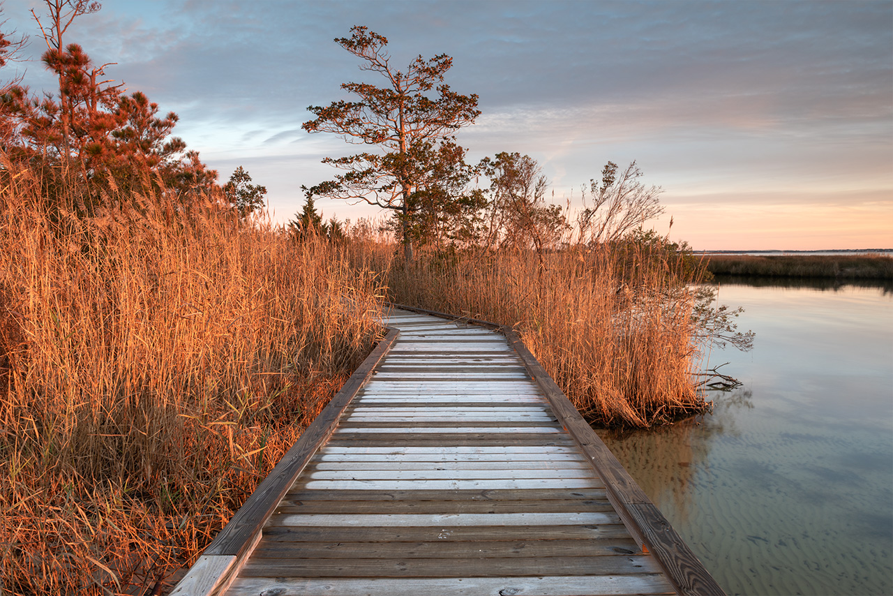
January 2020. Frost on the waterfront wooden boardwalk at Roanoke Island Festival Park. My sister and I walked these boardwalks relentlessly during our monthly winter stays in Manteo. Our goal was to stay outside and moving during the short winter days!
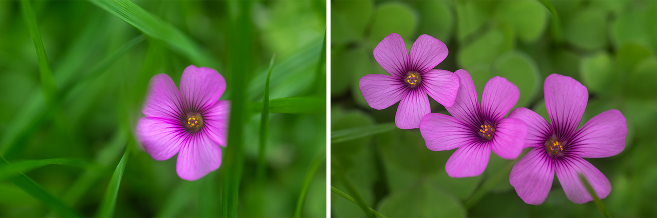
January 2020. One of the small things I appreciate about January in the Outer Banks is the presence of wildflowers. These Wood Sorrel wildflowers bloomed in the yard outside of my Manteo rental home. Such a beautiful thing to see wildflowers in the dead of winter. | Photo of the Day |
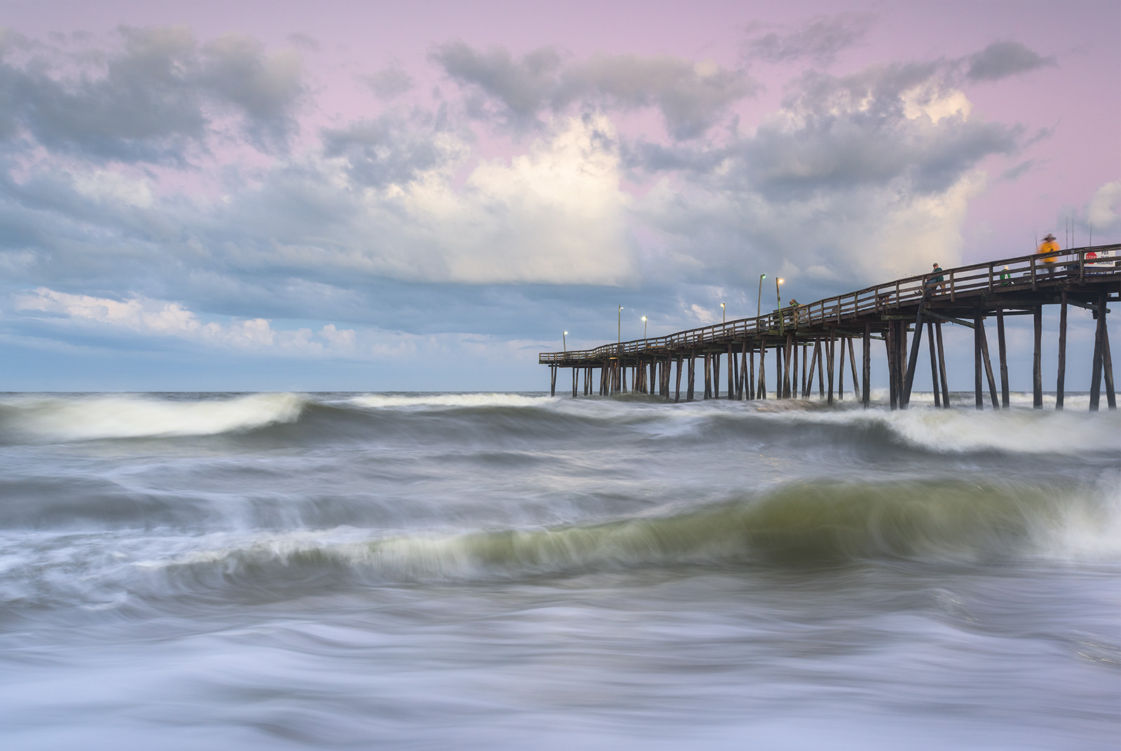
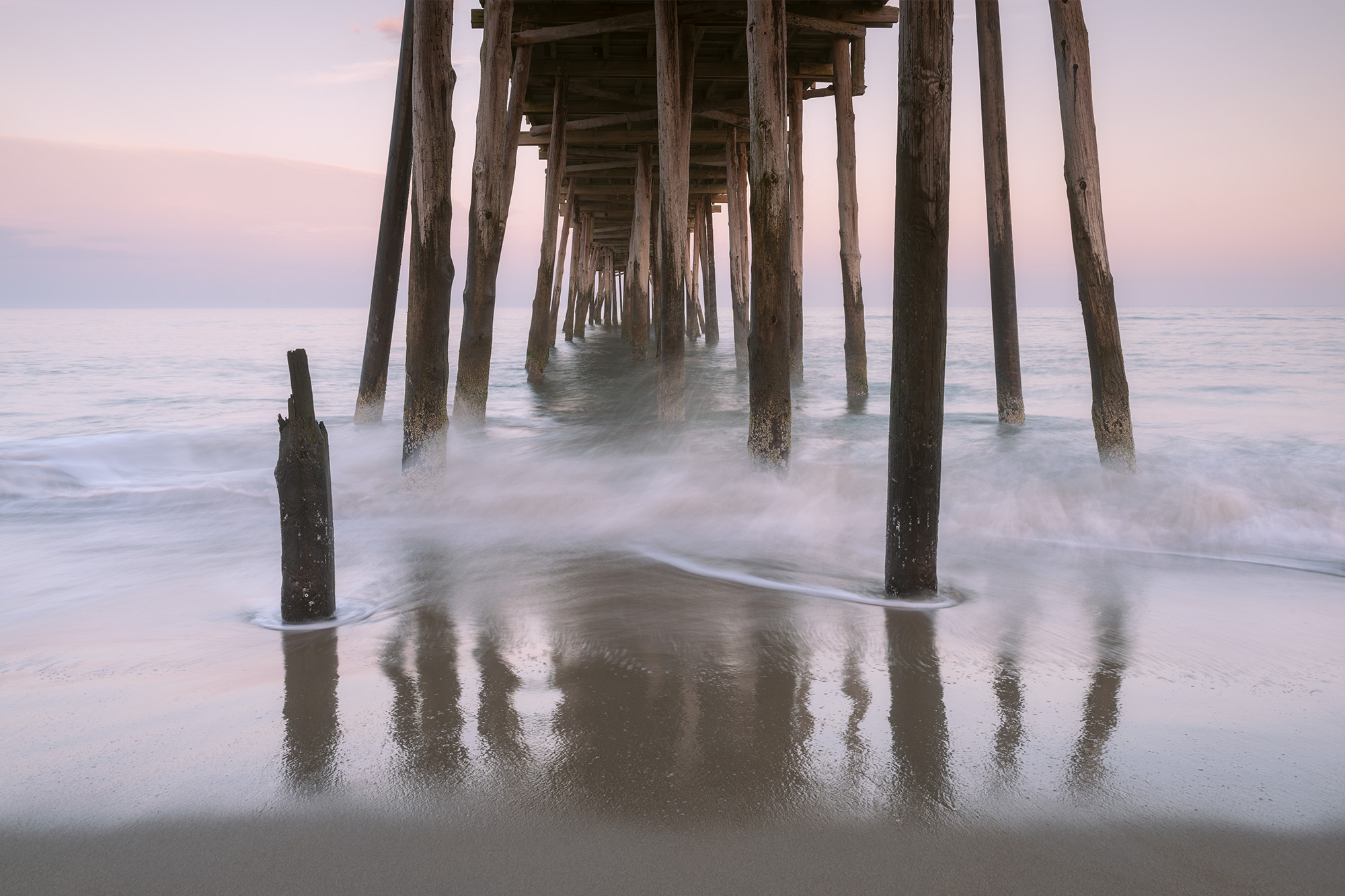
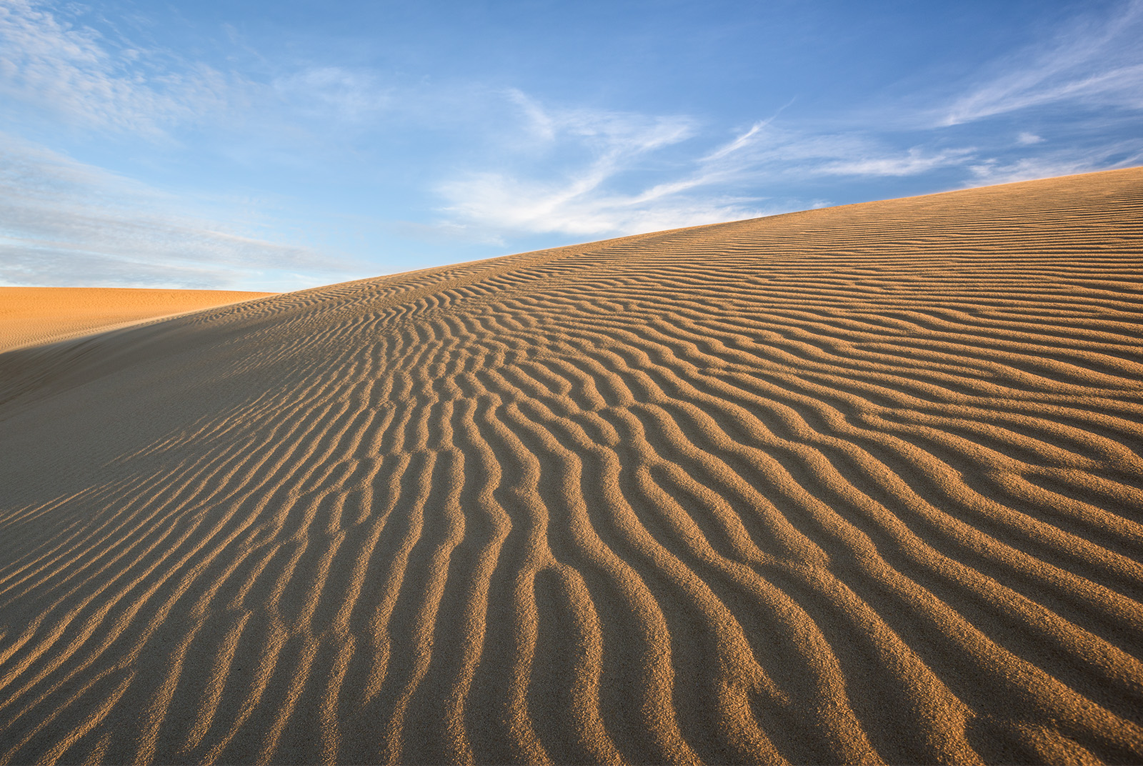
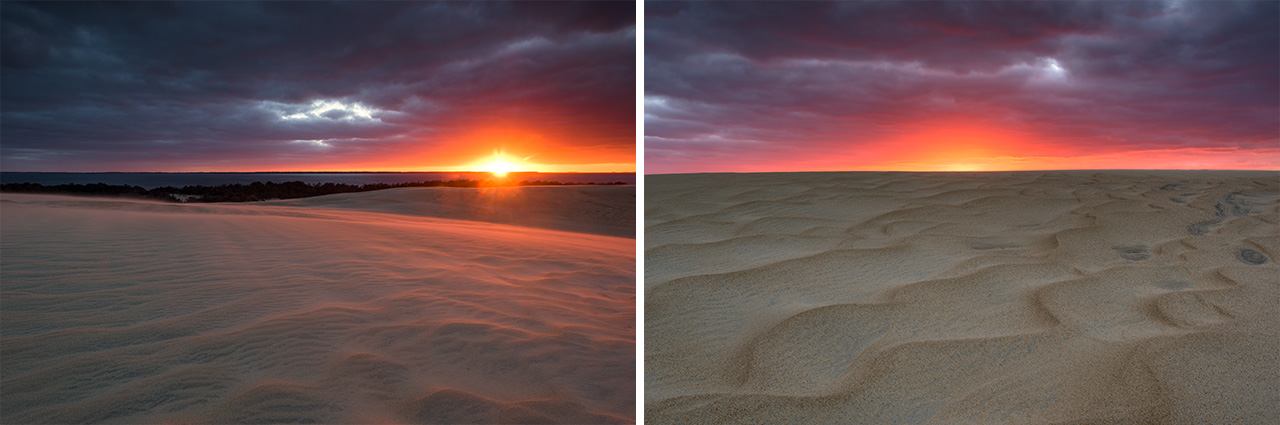
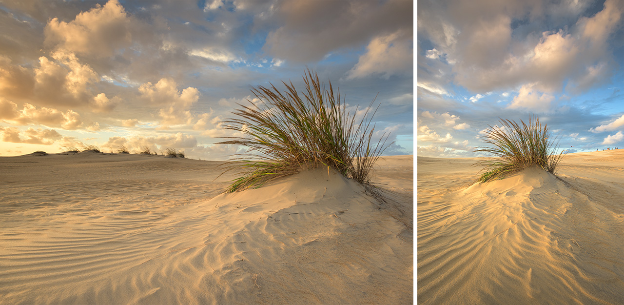
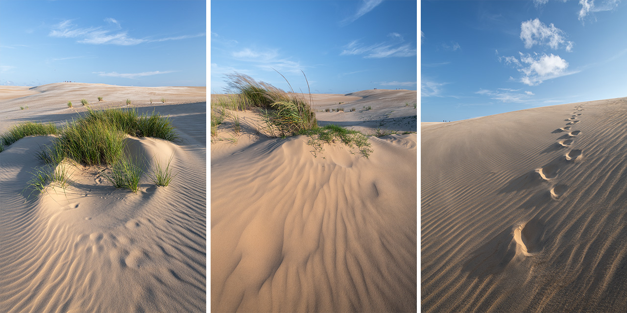
Jockey’s Ridge State Park is North Carolina’s second most visited state park (as of 2025). It encompasses three distinct ecosystems over 427 acres: The Roanoke Sound, the large sand dunes, and the maritime forests. Jockey’s Ridge State Park is home to the tallest active sand dune system in the Eastern United States. The nearly one-hundred foot tall medano sand dunes are the product of a bimodal wind field, predominant winds–southwest in the summer and northeast in the winter–blowing sand back and forth. The tall dunes protect the nearby maritime forests, and the forests stabilize the dunes. Jockey’s Ridge was declared a National Natural Landmark in 1974 and became a state park in 1975. The park can be found at milepost 12.
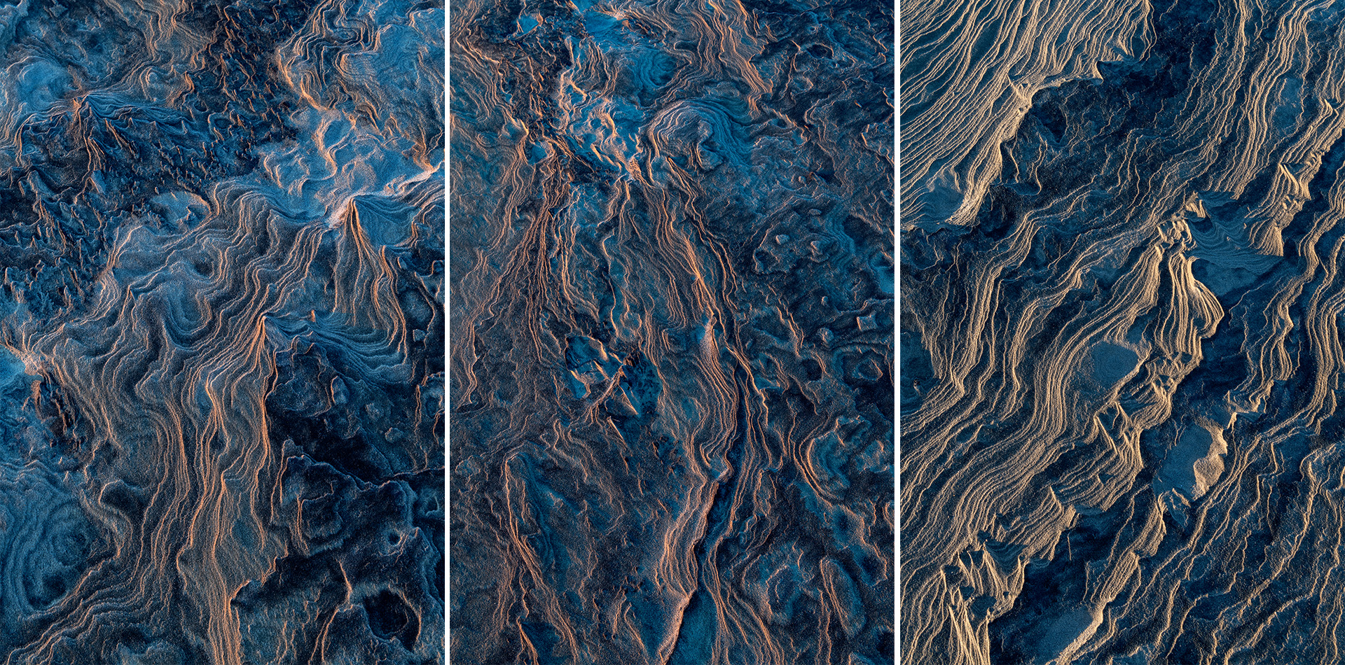
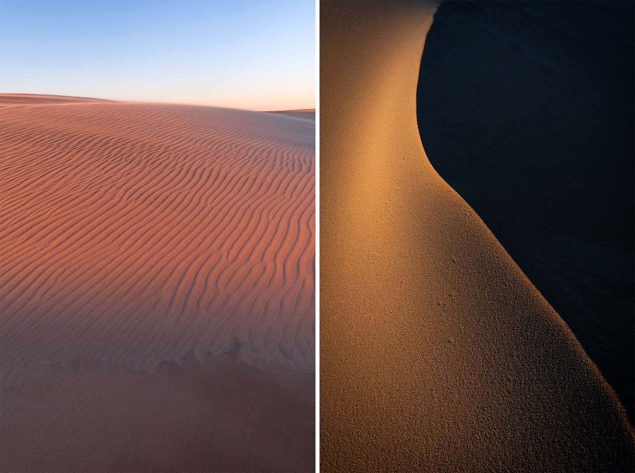
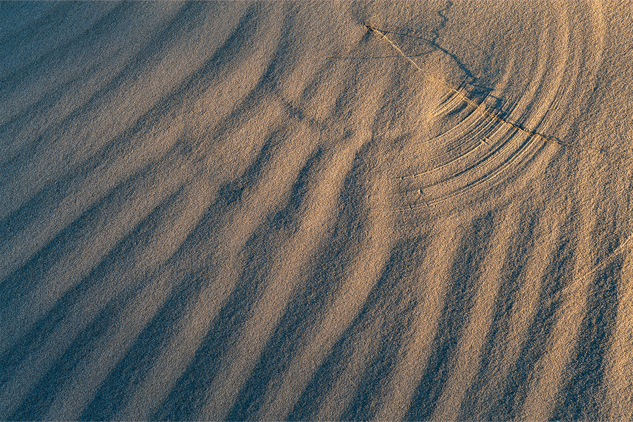
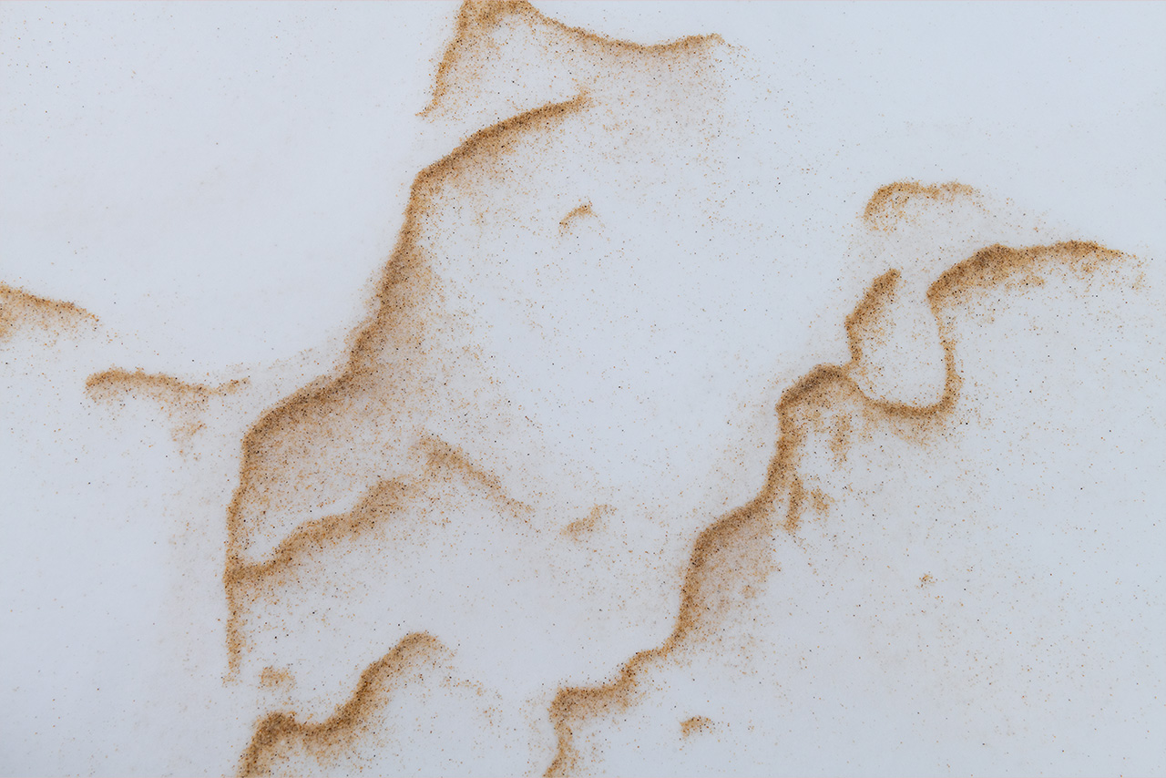
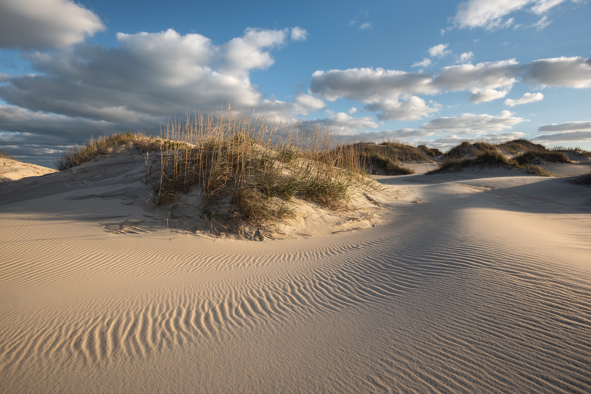
January 2025. There are two predominate wind directions in the Outer Banks: north northeast in the winter and south southwest in the summer. The strongest winds are the northeasterlies during the cold months. I walked the deep sand dunes of Jockey’s Ridge State Park mesmerized by the natural artwork that wind made within the sands. | Photo of the Day |
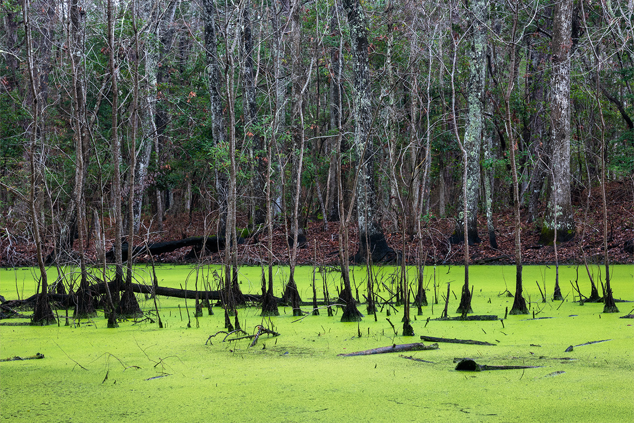
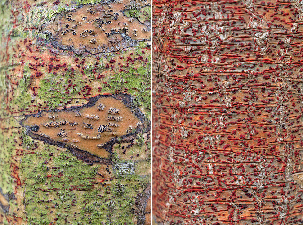
Nags Head Woods Preserve is one of the largest remaining maritime forests in the eastern United States. Maritime forest is forest affected by the ocean. At Nags Head Woods Preserve, enormous sand dunes–Jockey’s Ridge and Run Hill–protect the property from the ocean (and winds) reach. The area was deemed a National Natural Landmark (along with Jockey’s Ridge) in 1974. Three years later, in 1977, The Nature Conservancy together with the towns of Kitty Hawk and Nags Head came together to preserve the land and forests. Today nearly 1400+ acres have been protected and remain open to the public. Many rare species exist within Nags Head Woods Preserve.
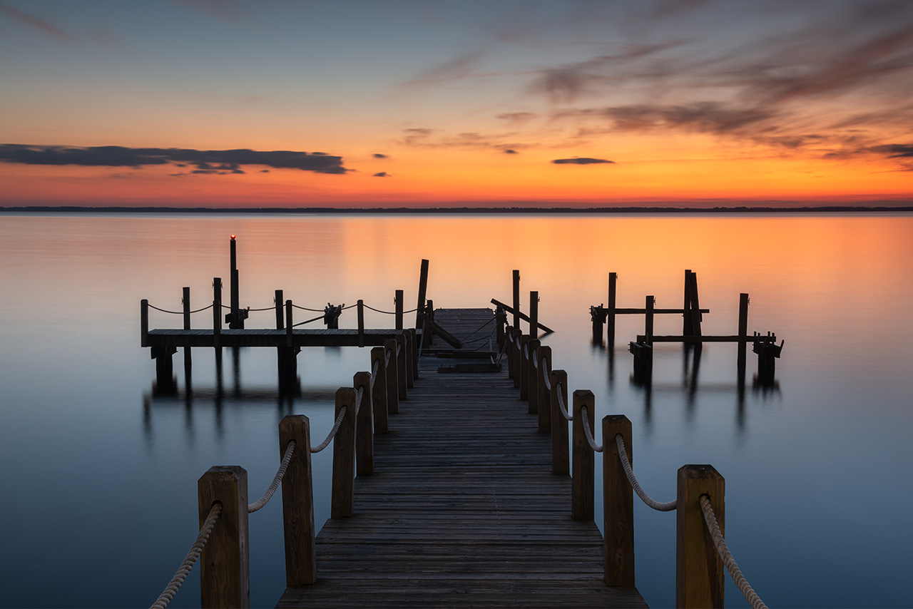
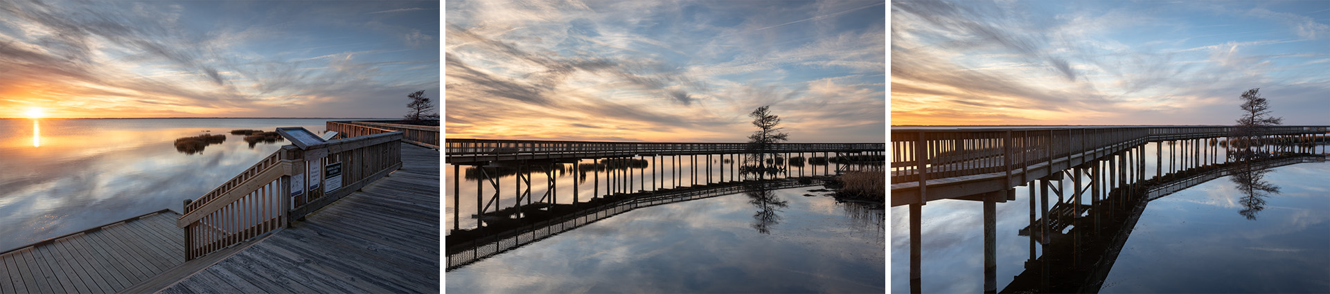
January 2020. The Duck Town Park Boardwalk at sunset. An elevated boardwalk roughly ten feet wide over the Currituck Sound on the western side of Duck, North Carolina provides public access and excellent views of sunset. The boardwalk runs roughly one mile in length, connecting many shops and restaurants. | Photo of the Day |
Duck Town Park and Soundside Boardwalk. A three-quarter mile elevated wooden boardwalk along the Currituck Sound connects retail businesses, restaurants, and recreational piers in the village of Duck, North Carolina. The boardwalk is ten feet wide and features a number of benches, lights, and water access points. The boardwalk faces west, providing excellent vantages along its length to witness sunset. All phases of the town park and boardwalk were completed by 2014. The Town Park and Soundise Boardwalk are pivotal to drawing visitors to the village of Duck, North Carolina, as there are zero public beach access areas within the town limits.
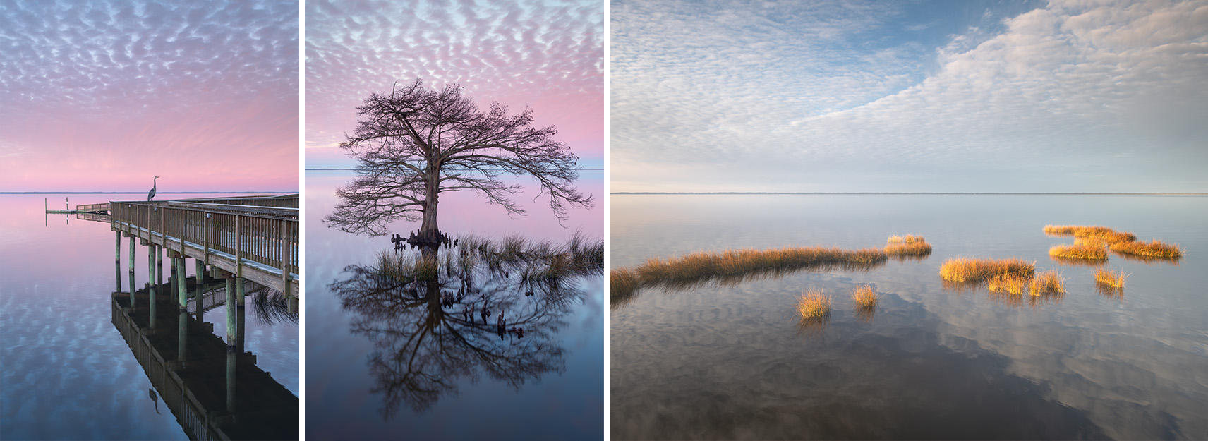
January 2021. Sunrise scenes along the Currituck Sound as seen from the Duck Town Boardwalk in the Outer Banks, North Carolina. | Photo of the Day |
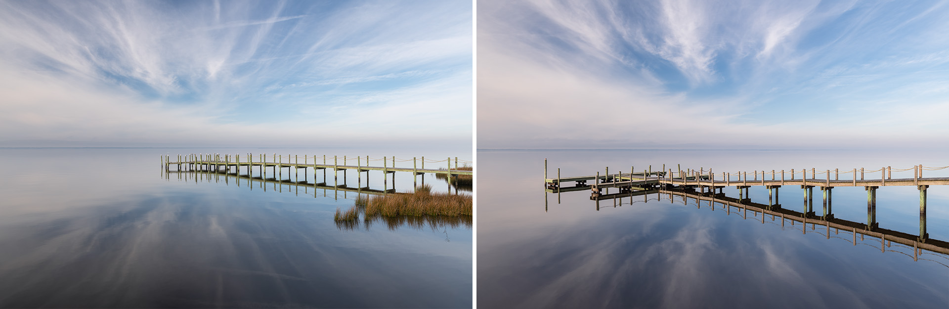
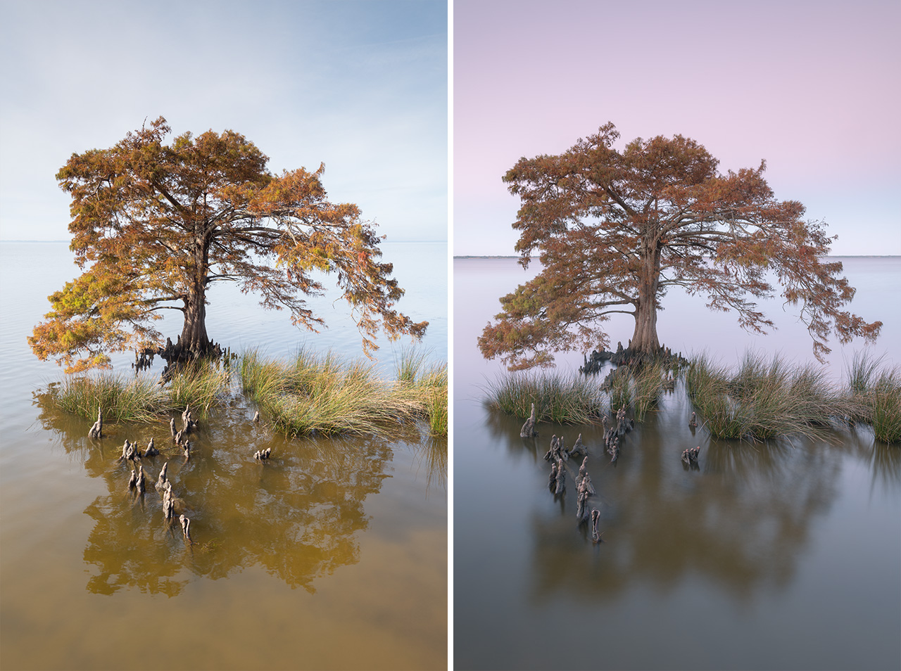
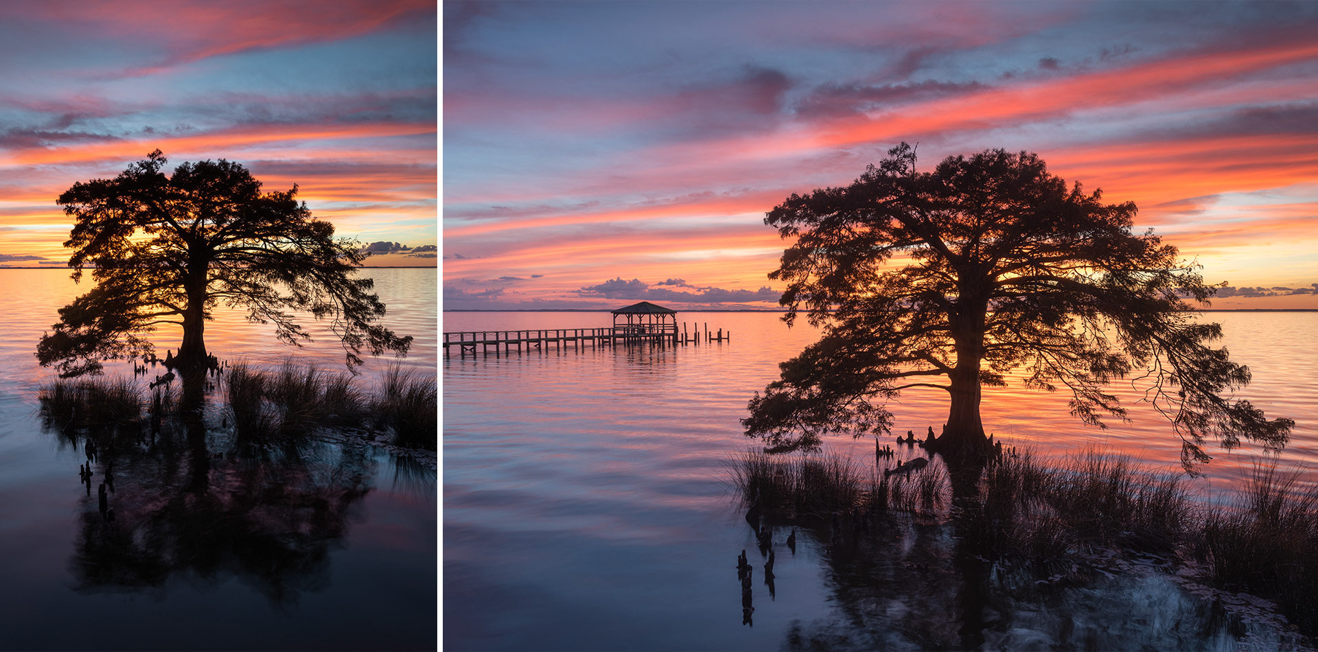
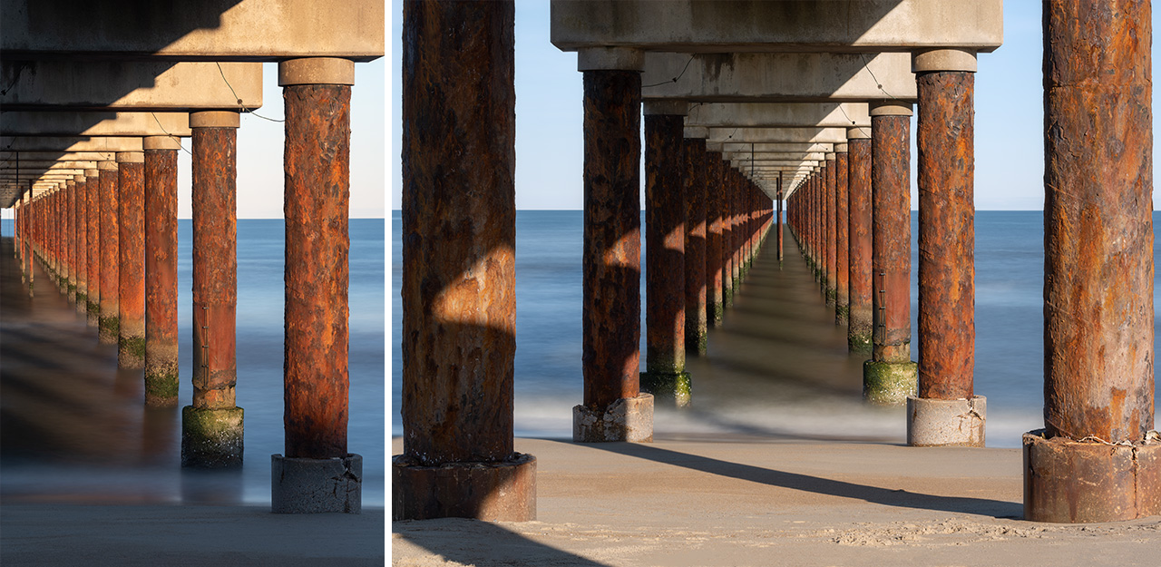
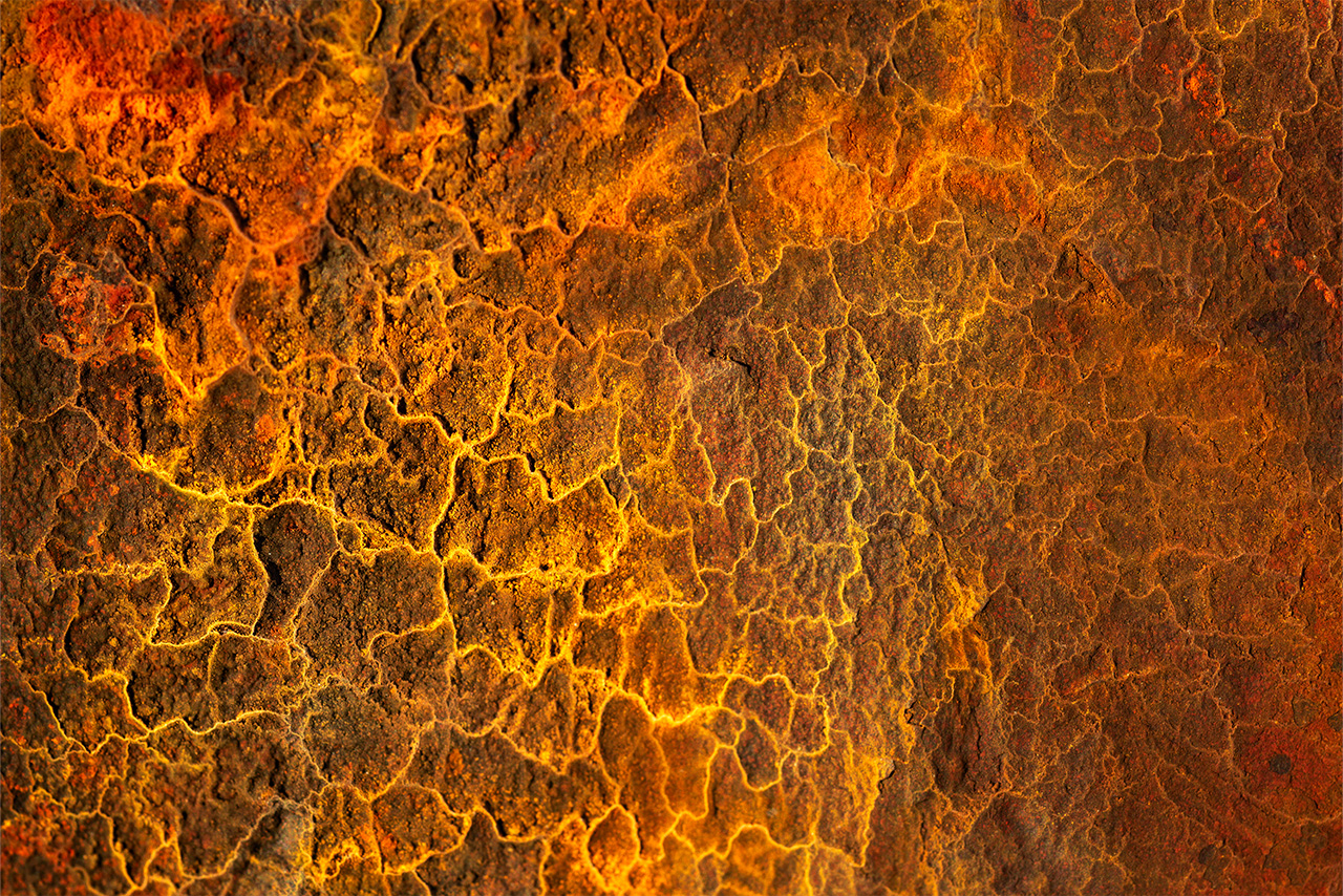
January 2019. The Duck Research Pier sits atop steel pipe pilings filled with concrete. The saltwater has caused oxidation on the steel, leading to really beautiful orange/yellow rusty coloring when viewed closely. | Photo of the Day |
The Duck Research Pier is an 1840-foot structure sitting on concrete pilings wrapped in steel casings. The steel has oxidized, giving the pier a striking orange, rusty color. Many in the Outer Banks call the Duck Research Pier “the steel” pier. It was built in 1977 by the U.S. Army Corp of Engineers as a coastal observatory. Known as the Field Research Facility (FRF), the Duck Research Pier is a secure military facility not open to the public. It studies and records data on weather, waves, currents and tides. While access is limited, it is possible to walk underneath the pier along the beach in Duck, North Carolina.
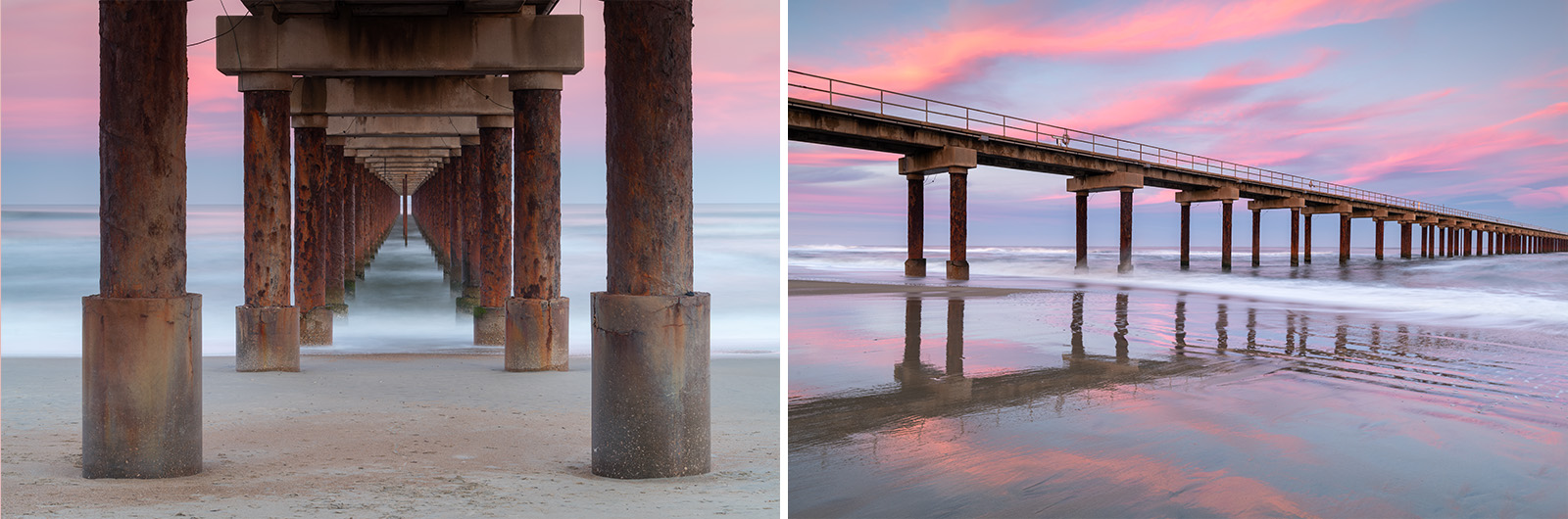
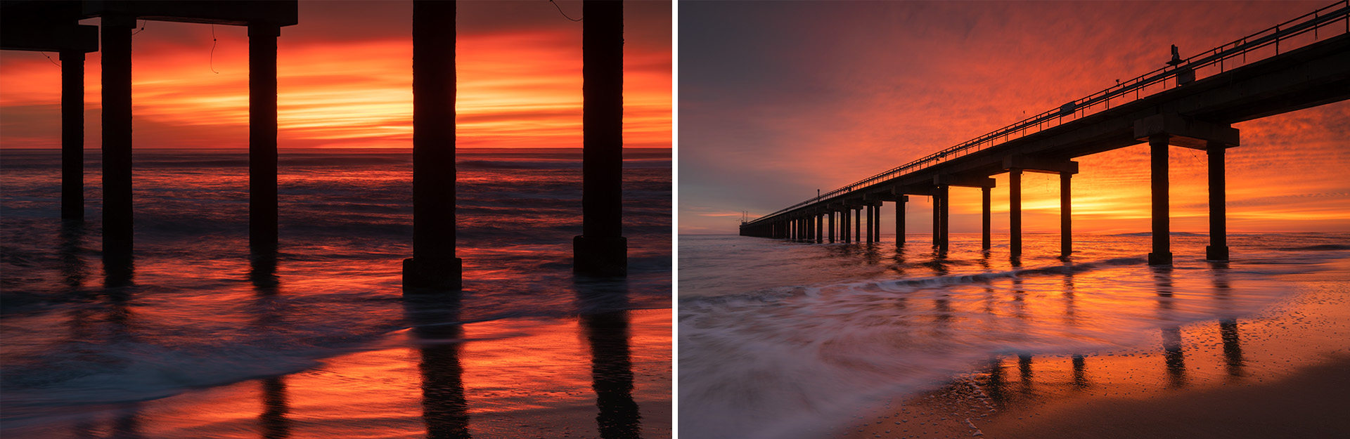
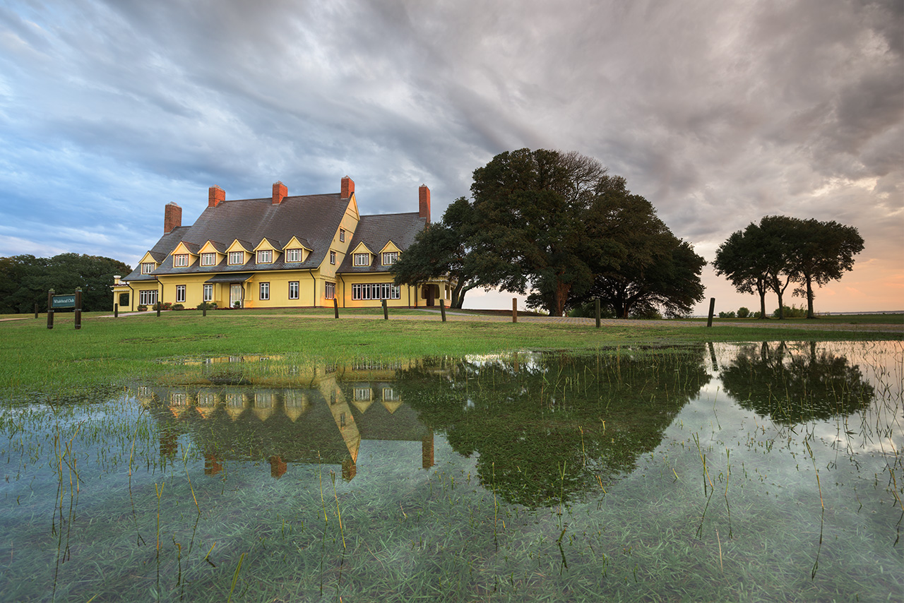
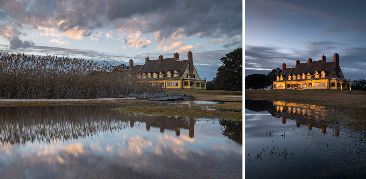
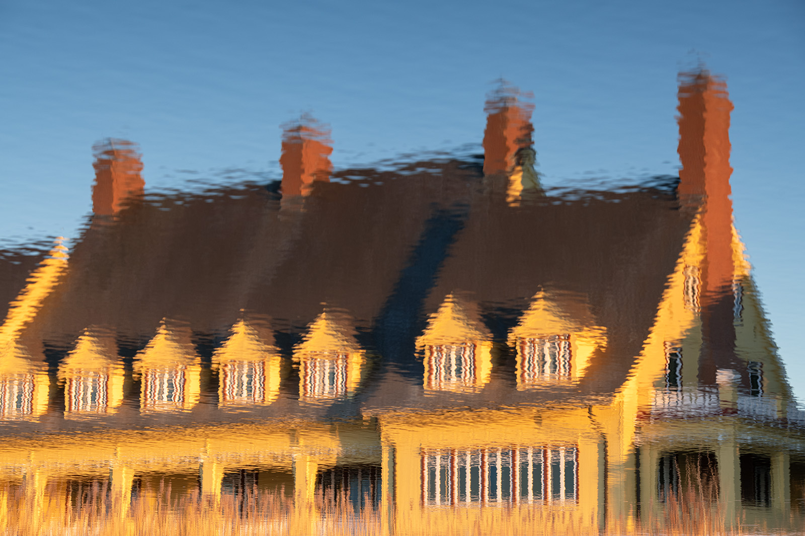
The Historic Whalehead Club is a 21,000 square-foot mansion in Corolla, North Carolina. Built in 1925 by Edwards Colling Jr. for his wife Marie Louise Label Knight, it was used as a relaxed hunt club for friends and family. The property featured incredible materials and crafstmanship for the time, including generators for electricity and a full basement for coal storage and heating. The style of the structure is Art Nouveau. Following their passing, relatives sold the property and it underwent many different purposes from a Coast Guard recruitment base to a boys school. In 1992 Currituck County bought the property and restored it to its former glory. The Whalehead Club now sits within Historic Corolla Park in Corolla, North Carolina.
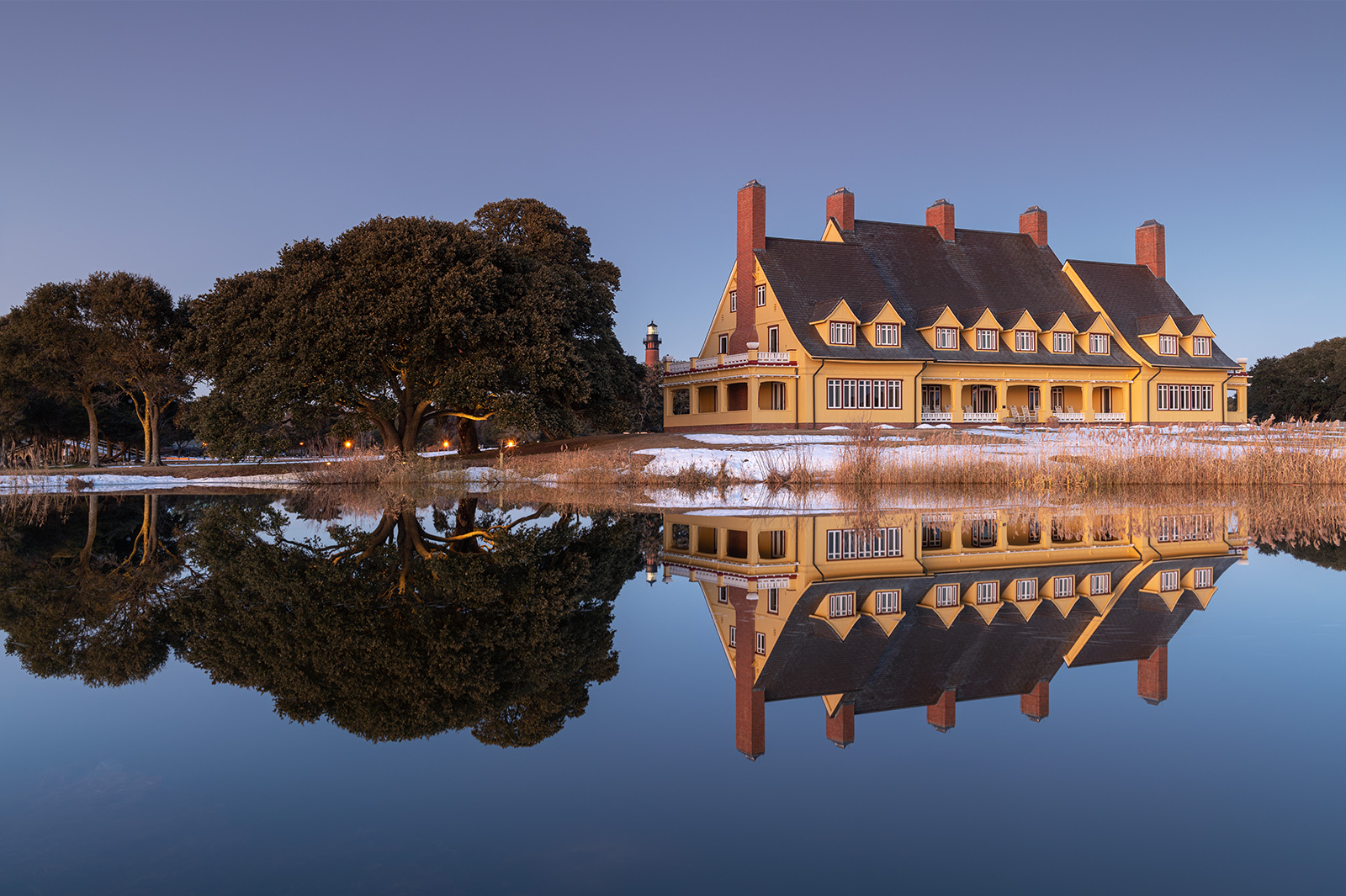
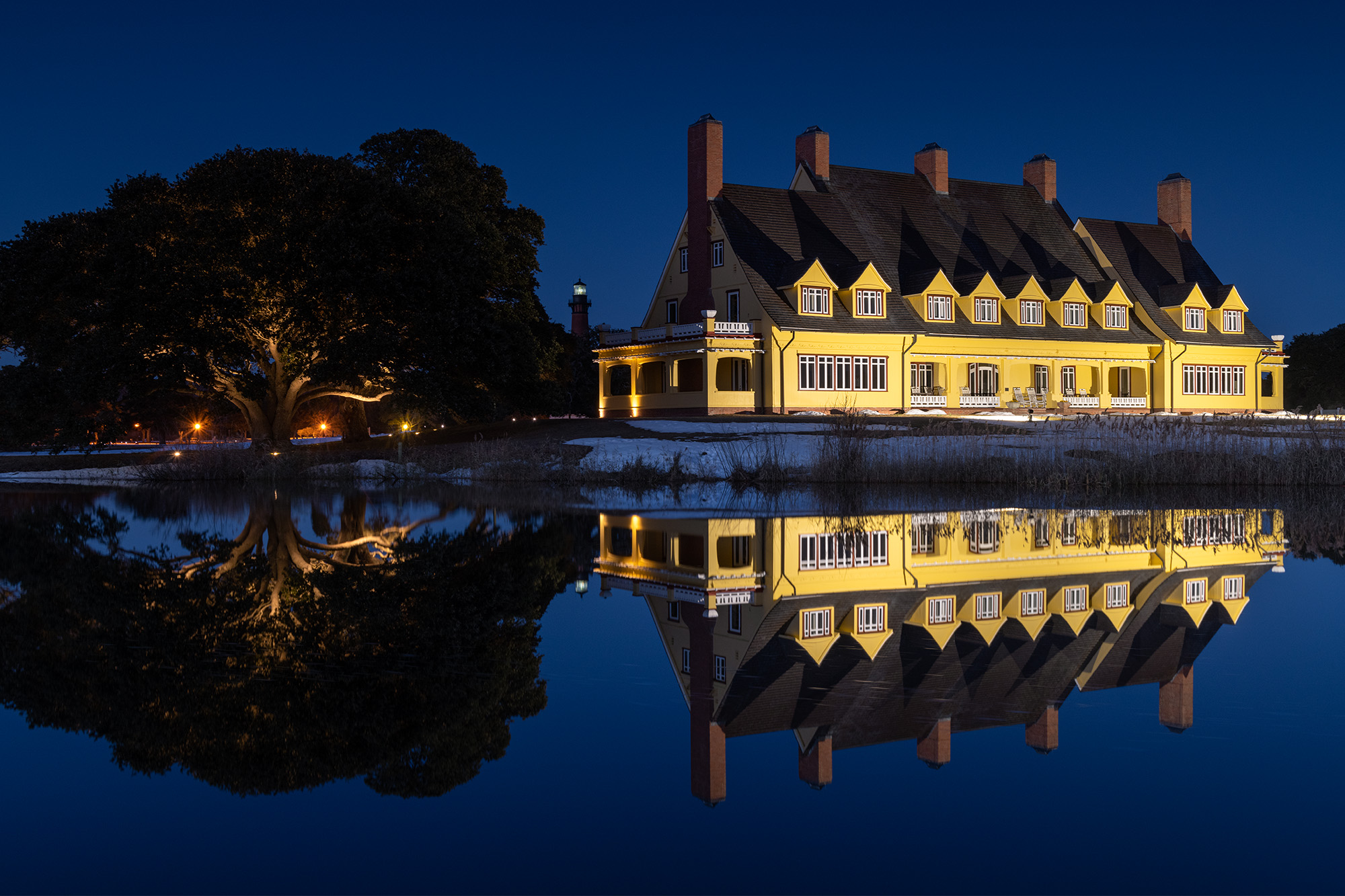
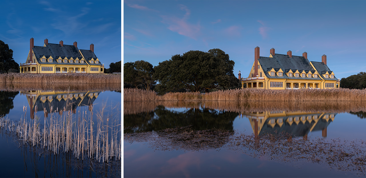
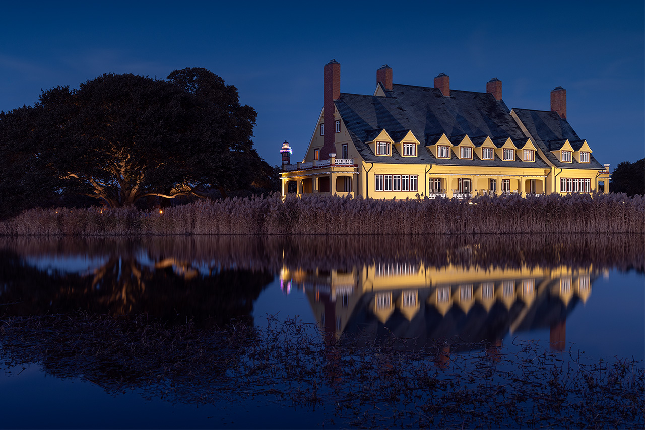
January 2024. Evening reflections at Whalehead Club Mansion in Historic Corolla Park, North Carolina. Christmas decorations still adorn the Currituck Lighthouse in the background. These are iconic structures within the northern Outer Banks (OBX). | Photo of the Day |
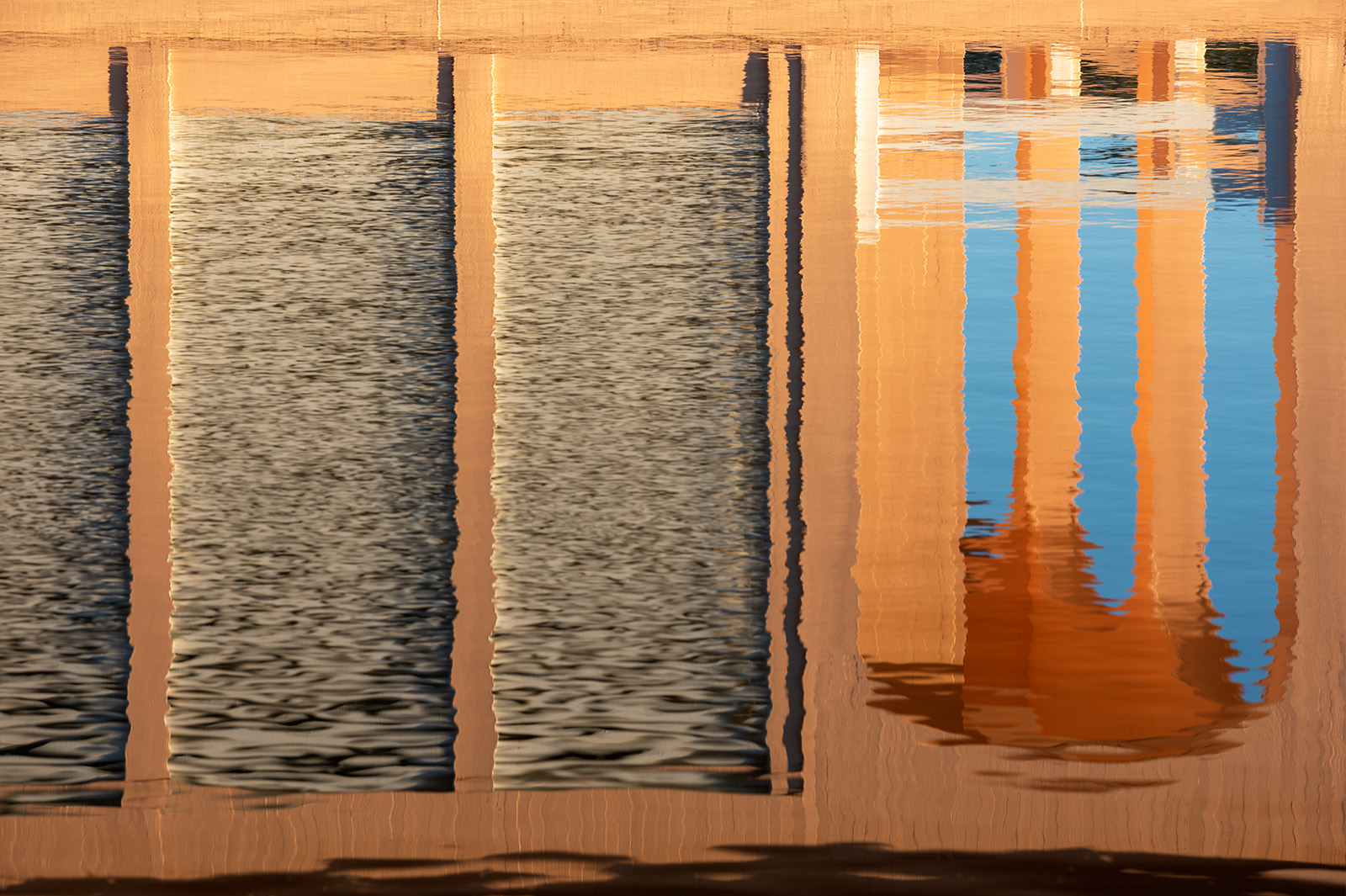
January 2020. The boathouse at Whalehead Club is a vibrant peachy/pink color that comes alive with evening western light. I photographed only the reflections here within the relatively calm lagoon. Both the Whalehead Club and boathouse are now part of Historic Corolla Park, North Carolina. | Photo of the Day |
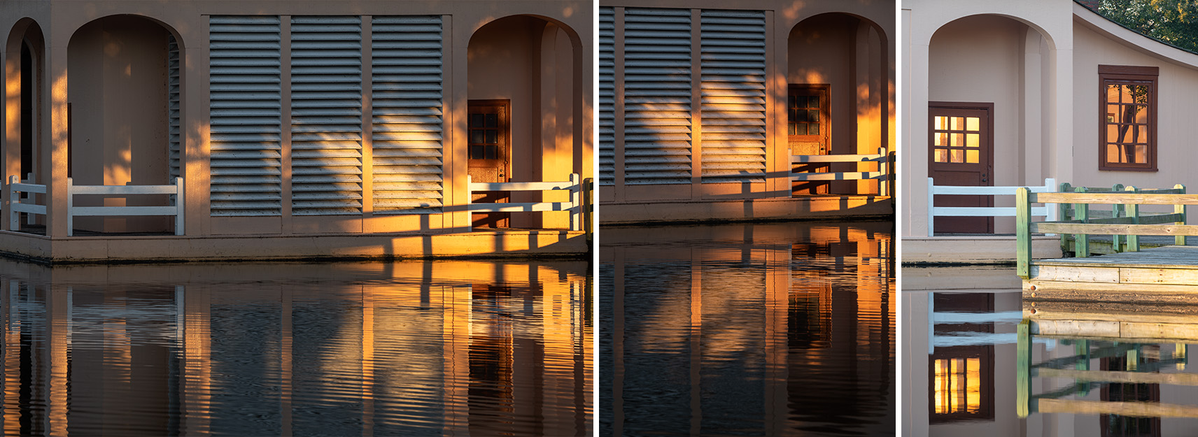
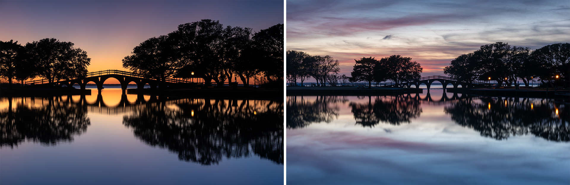
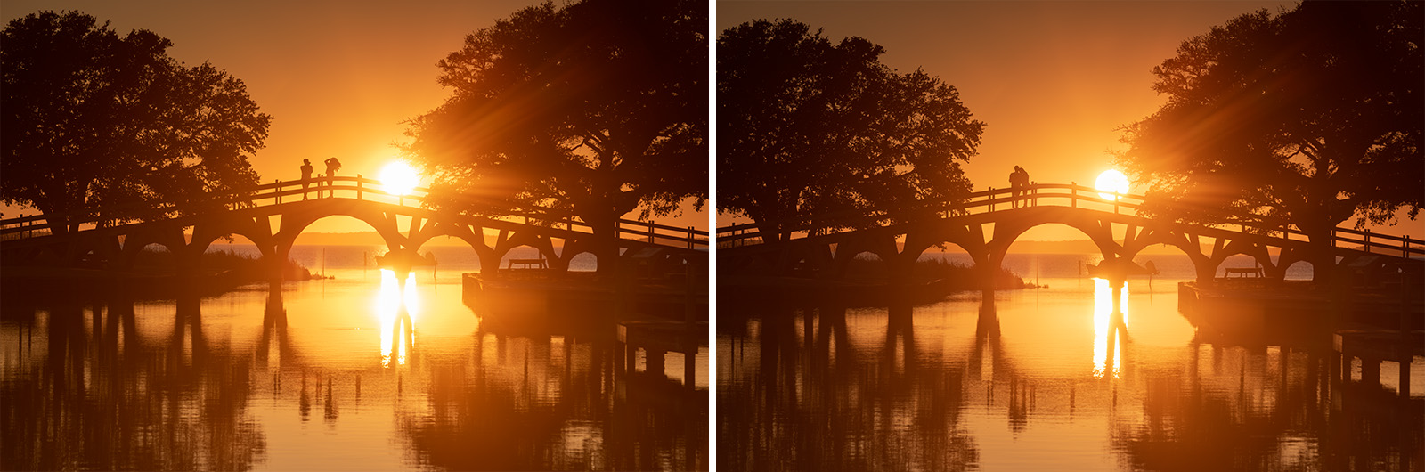
January 2020. With it’s west facing views and waterfront access, Historic Corolla Park is a very popular sunset spot any time of the year in the Outer Banks. | Photo of the Day |
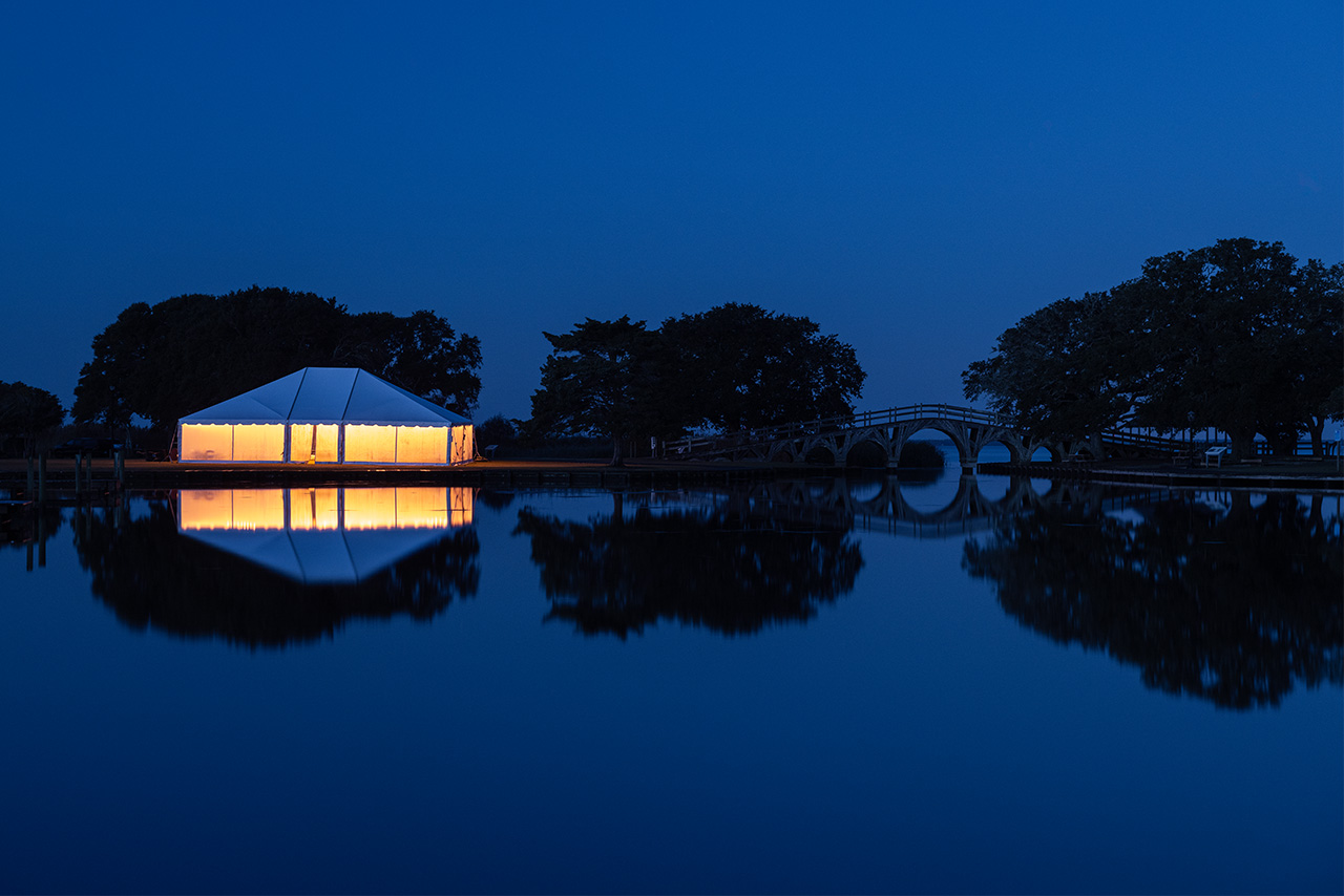
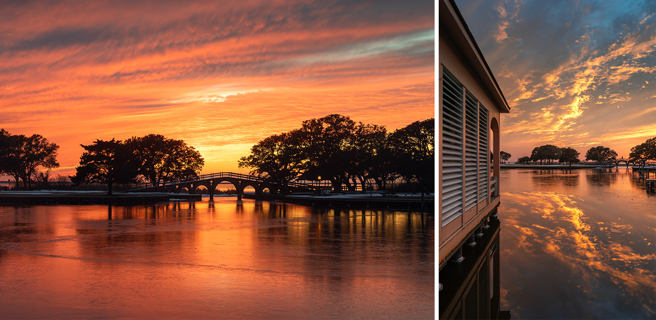
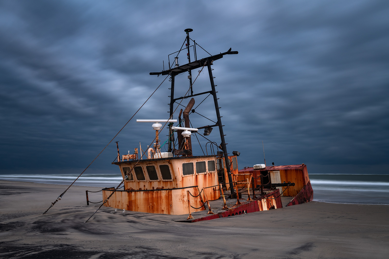
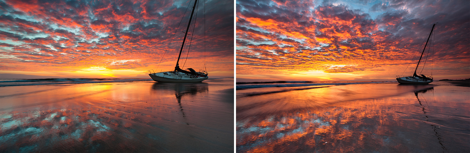
January 2021. The Ocean Pursuit shipwreck was a 72-foot scallop boat that ran aground March 2020 after mechanical issues. For nearly two years the boat sat unclaimed, sinking deeper and deeper into the sand and the surf before being removed permanently by the National Park Service. It serves as a perfect vision of why this area is known as the “Graveyard of the Atlantic.” | Photo of the Day |
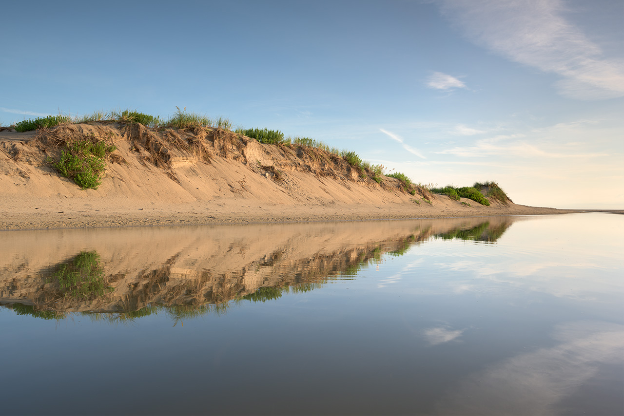
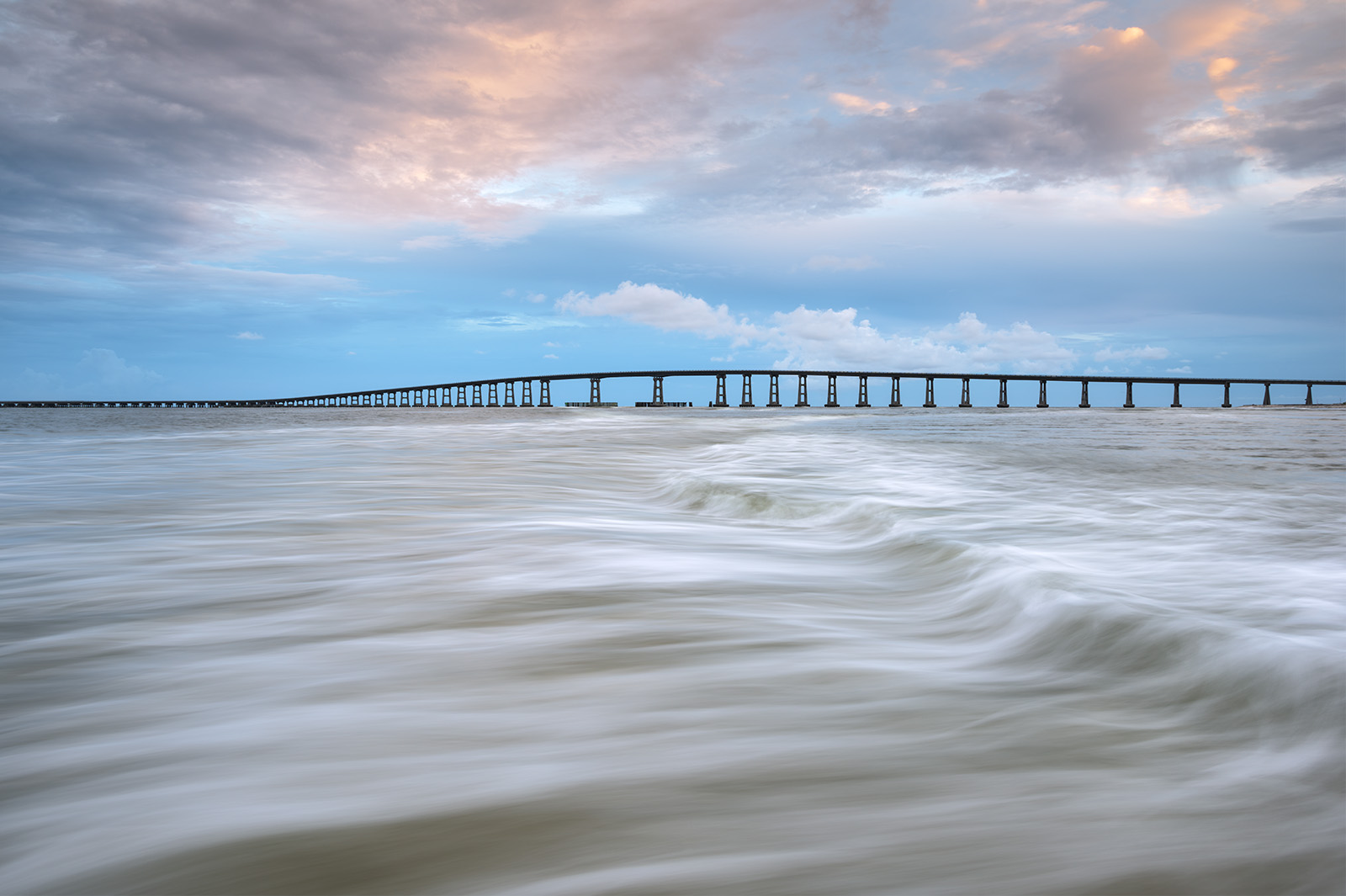
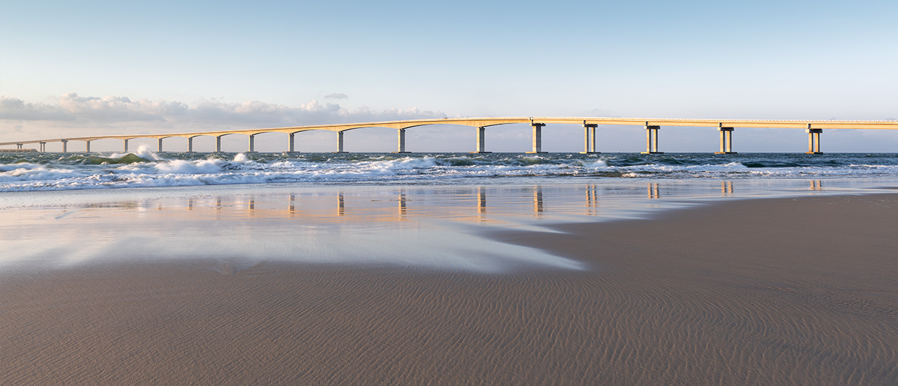
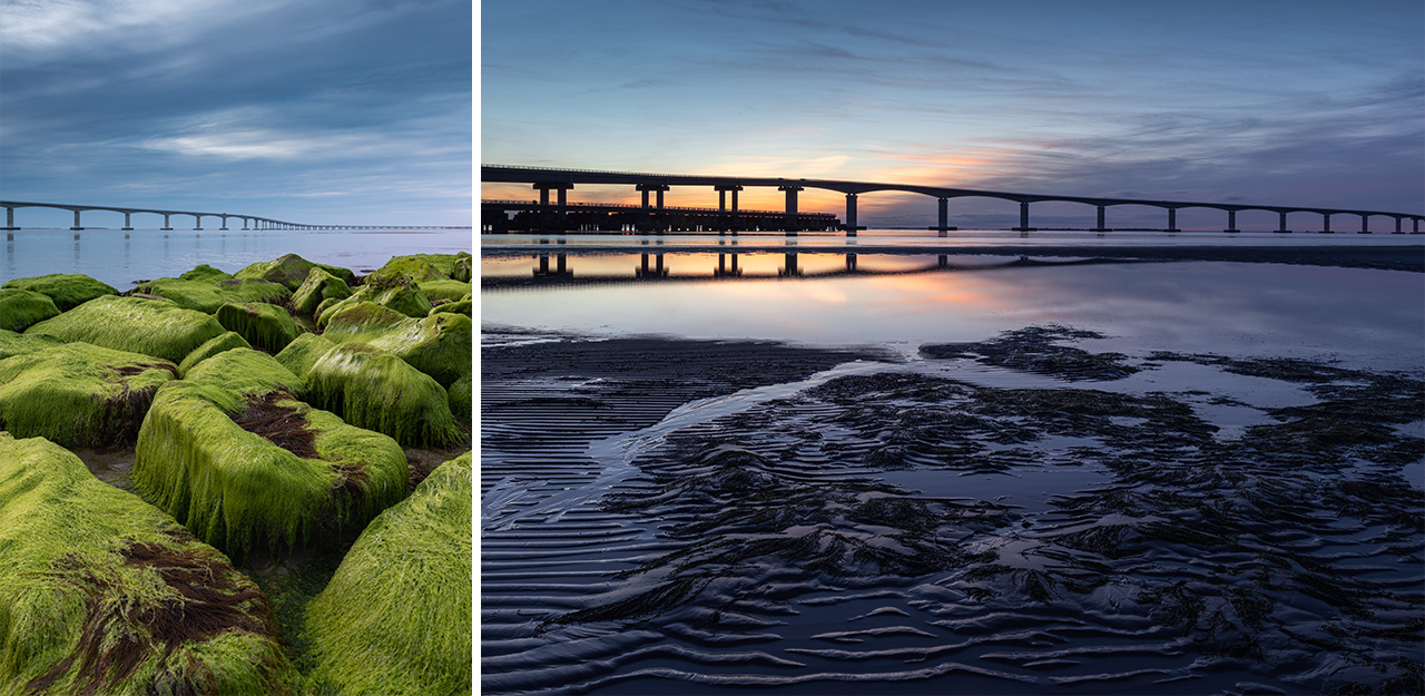
The Oregon Inlet connects Pamlico Sound to the Atlantic Ocean and the Gulf Stream. Formed by hurricane in 1846, it was named for the first boat through the new channel. Today, NC-12 crosses Oregon Inlet via the Marc Basnight Bridge (formerly the Herbert Bonner Bridge), connecting Bodie Island with Pea Island and the Hatteras villages to the south. Oregon Inlet is a dynamic place: its sands shift and shoal and its currents are dangerous to mariners. It is no longer a natural landscape feature either: constant dredging is required to maintain the passage. In 2022, Dare County and the State of North Carolina bought a dedicated dredge, the Miss Katie, for this purpose. It can be seen docked on the southwestern side of the inlet.
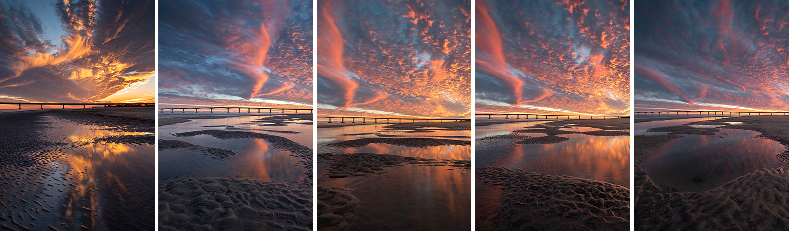
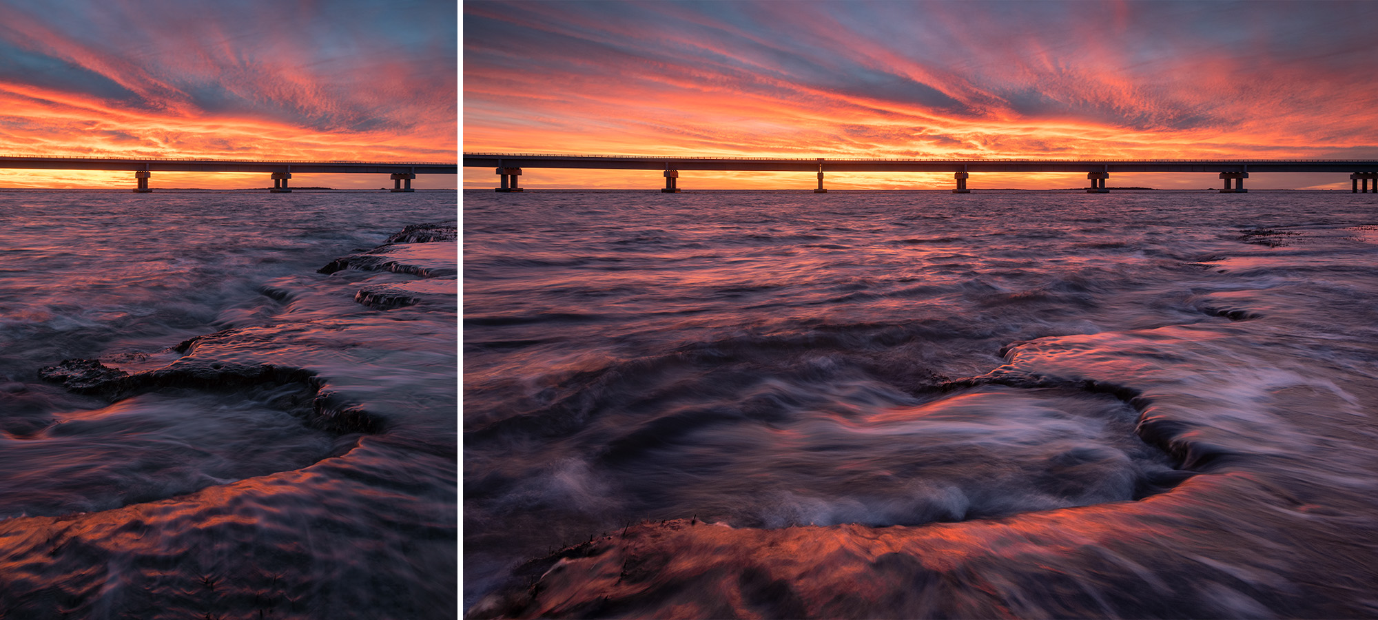
January 2024. Mudflats form along the northern side of Oregon Inlet. High tide interacts with the flats in neat and unpredictable ways, making each frame unique. The Oregon Inlet is one of the most dynamic places to photograph in the Outer Banks of North Carolina. | Photo of the Day |
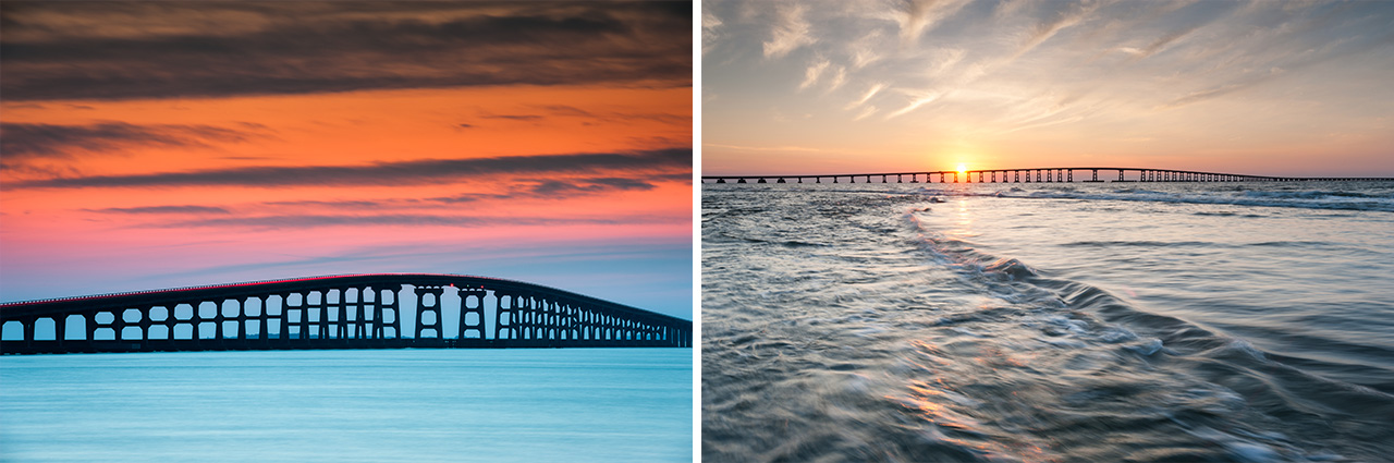
The Herbert C. Bonner Bridge connected Hatteras Island to the northern Outer Banks when it was built in 1963. A two-lane 2.7 mile span over Oregon Inlet, the Bonner Bridge was designed for a thirty year lifespan. Well beyond it’s engineered lifespan at the time of these photographs, the Bonner Bridge was ranked 4/100 for safety. Scouring around the foundations was the primary concern. Several ships also struck and damaged various support pilings over time while navigating the shifting channel between the Atlantic Ocean and the Pamlico Sound. The Bonner Bridge was replaced in 2019 by the Marc Basnight Bridge. A bit of Bonner Bridge on the southern bank of Pea Island remains as a pedestrian walkway and pier out into Oregon Inlet.
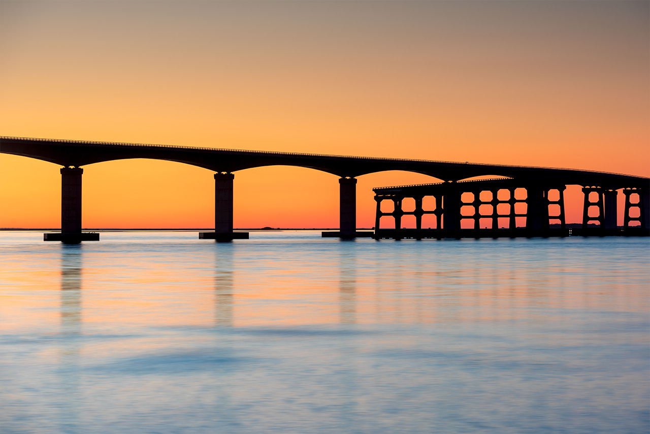
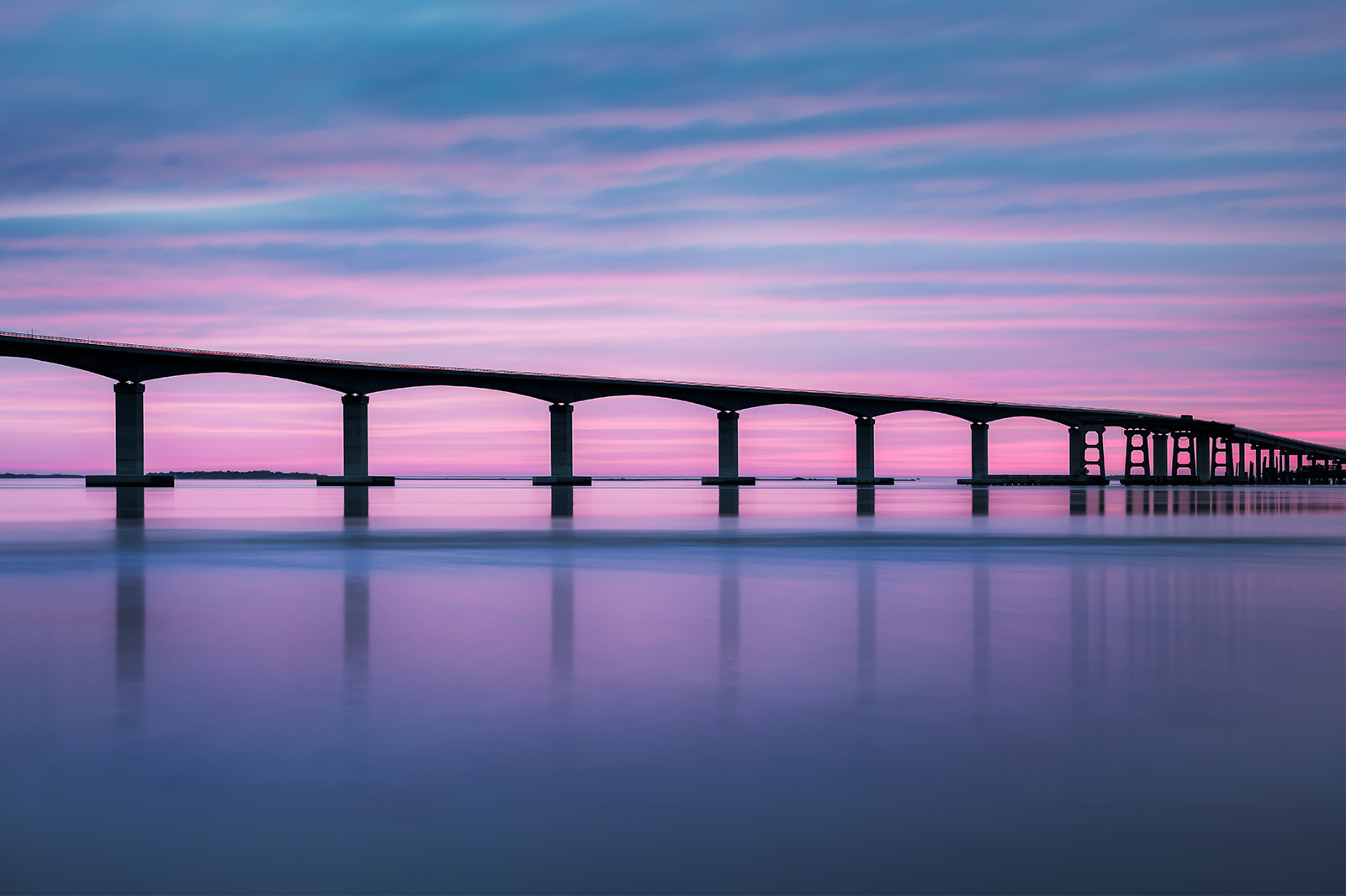
January 2021. The Marc Basnight Bridge over Oregon Inlet in North Carolina’s Outer Banks (OBX). The Basnight Bridge connects Nags Head to the string of Hatteras Islands to the south via NC-12. | Photo of the Day |
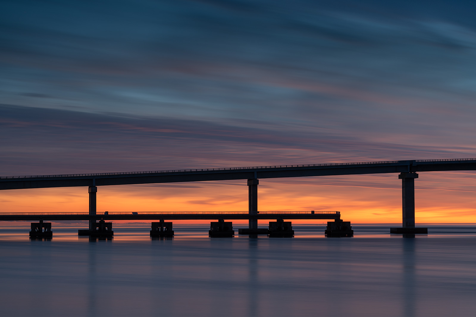
January 2024. Sunset colors the sky behind the Marc Basnight Bridge. A remnant section of the Bonner Bridge gives public access to the Oregon Inlet, which connects the Atlantic Ocean with the Pamlico Sound. The Basnight Bridge connects Nags Head to the north with the villages of Hatteras Island to the south via NC-12. | Photo of the Day |
The Marc Basnight Bridge is the replacement for Bonner Bridge over Oregon Inlet in the Outer Banks. The Basnight Bridge spans 2.8 miles and utilizes a design that is considerably higher and more stable around the foundations to scour and coastal conditions. The tall sections are referred to as continuous segmental concrete box girder construction. The Basnight is the 3rd longest bridge of it’s kind in North America. It has won numerous design and engineering awards throughout the region and the country. The Basnight Bridge was opened to the public in February of 2019. It serves as the connection between Hatteras Island and the central and northern Outer Banks.
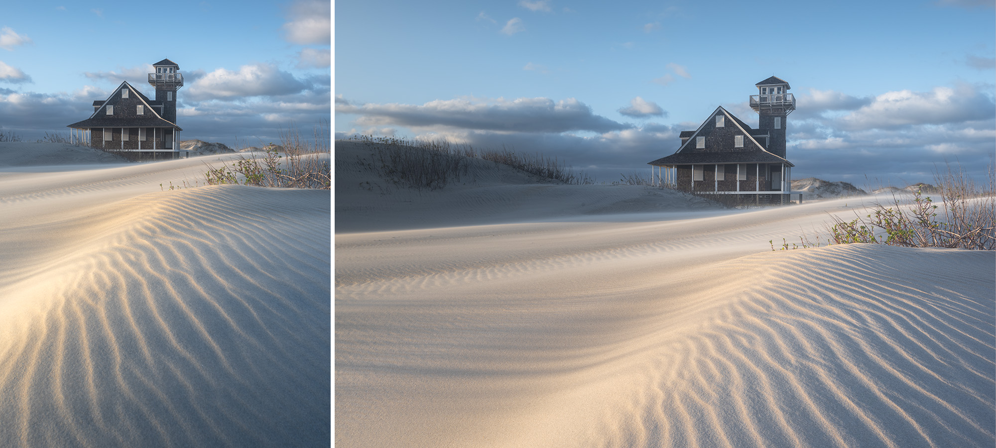
January 2020. Heavy winds whip the deep sands near the Oregon Inlet Lifesaving Station on Pea Island. The Coast Guard vacated this site in 1988. The property was given to the state in 2000 and is managed by North Carolina Aquariums. It underwent renovations in 2008 and is listed on the National Register of Historic Places. The future of the property is unknown. | Photo of the Day |
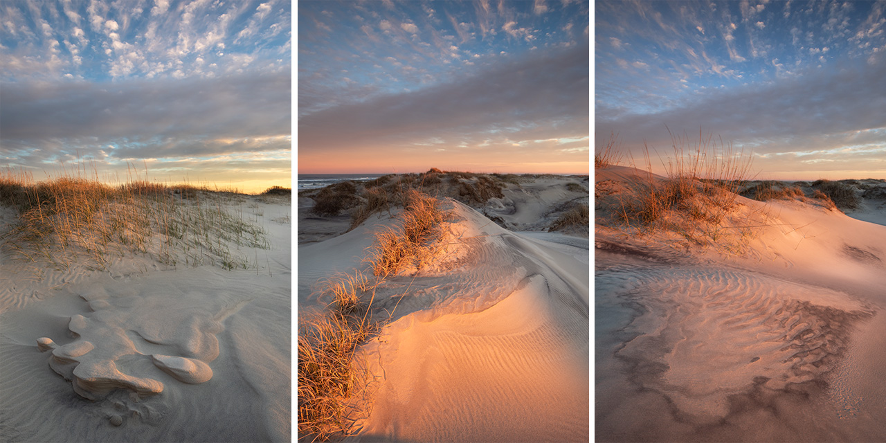
January 2020. The warm last light of evening on the high dunes along the northern edge of Pea Island National Wildlife Refuge. | Photo of the Day |
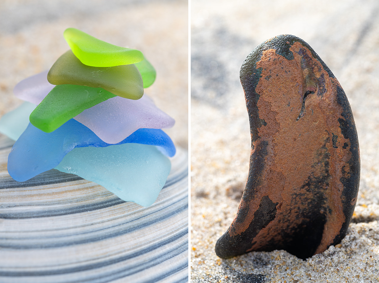
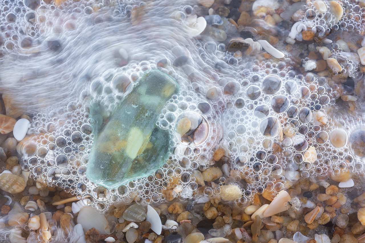
January 2024. Beautiful colored seaglass collected along Pea Island (left) and a chunck of old black seaglass with benicia iridescence (right). | Photo of the Day |
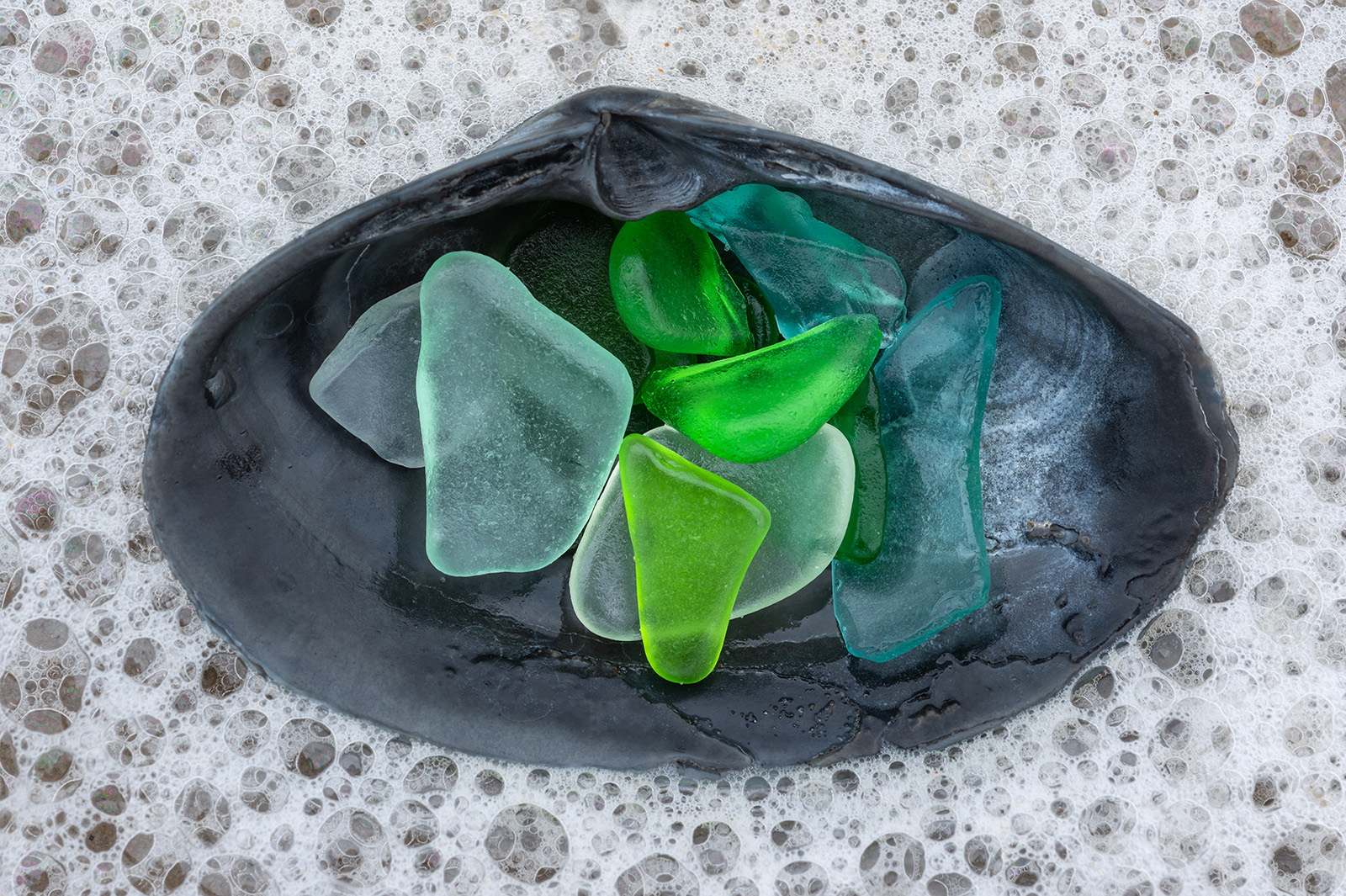
January 2019. Bits of colored seaglass found along Cape Hatteras National Seashore. Anyone who has sought and found a piece of frosted, smooth seaglass along the shoreline can attest to the feeling of coming across something special. It’s one of the neatest transformations: that the sea can turn trash into something akin to a rare jewel sought by collectors everywhere. | Photo of the Day |
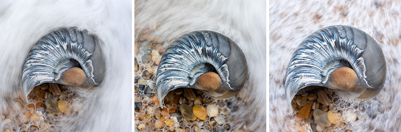
January 2019. The backside of a Moon Snail shell found along Cape Hatteras National Seashore. These shells are typically beige/brown. The distinctly bluish/gray wear patterns on this particular shell really caught my attention and my focus! | Photo of the Day |
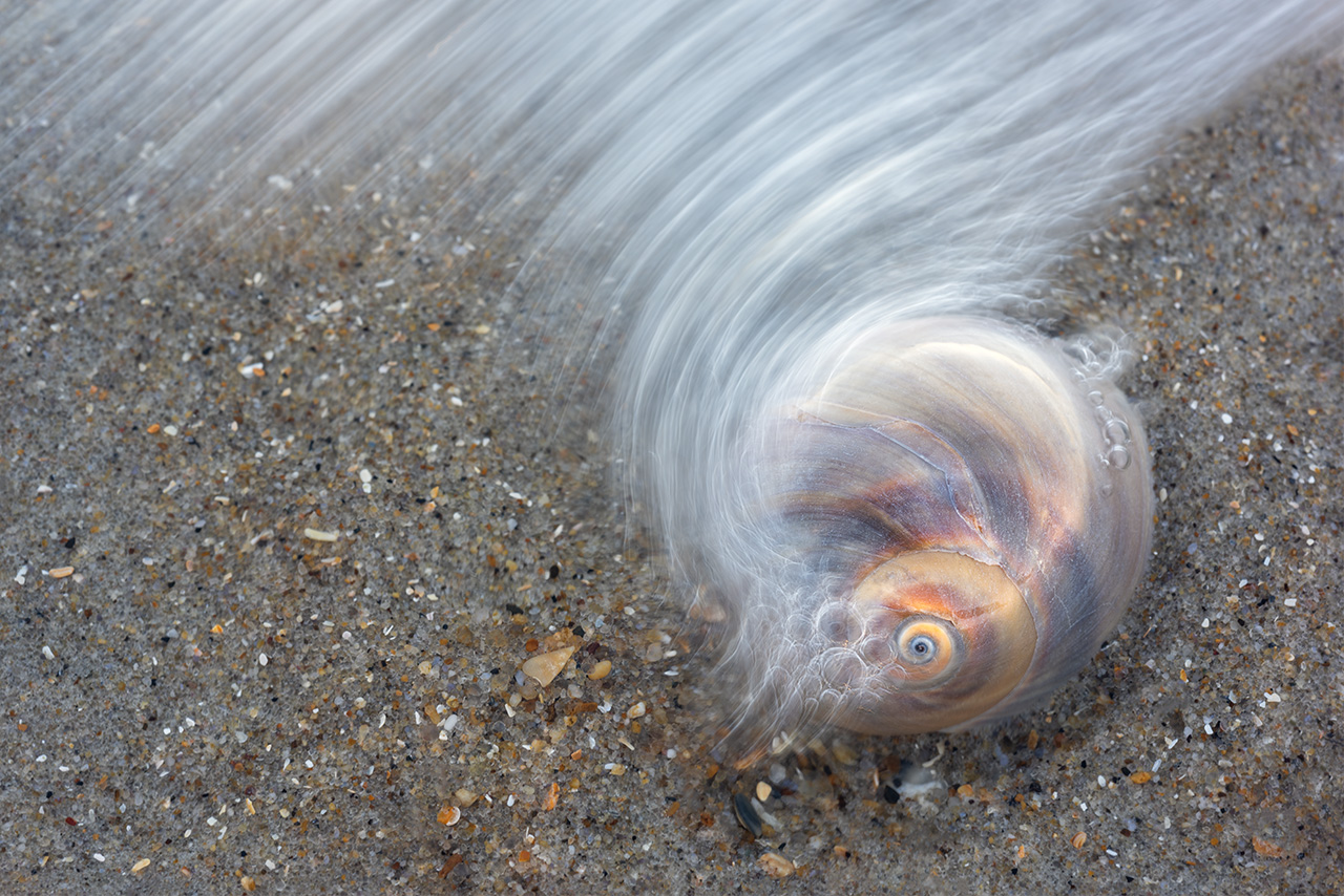
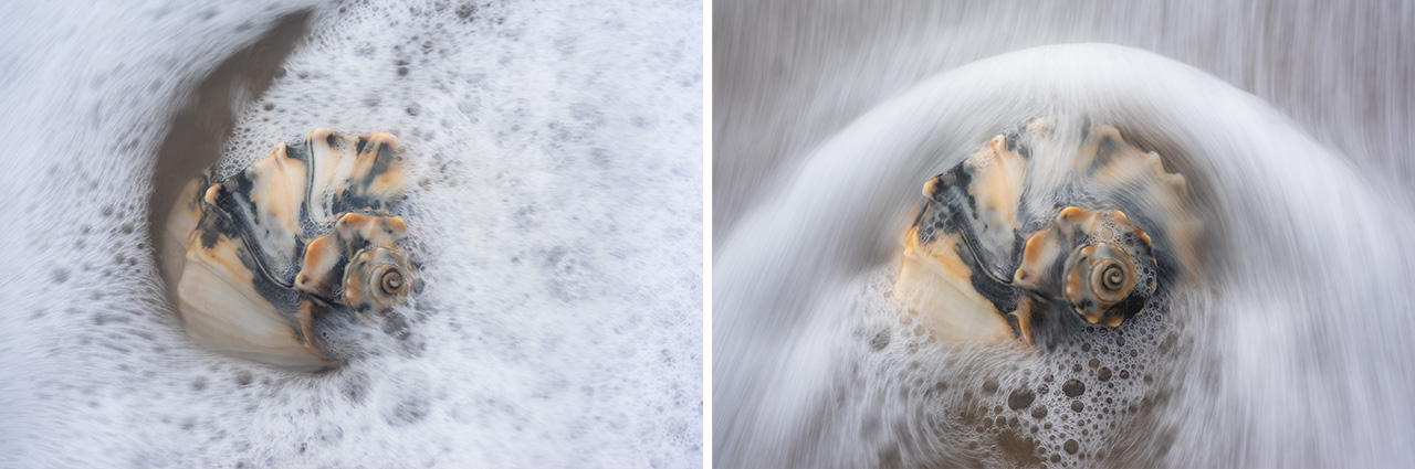
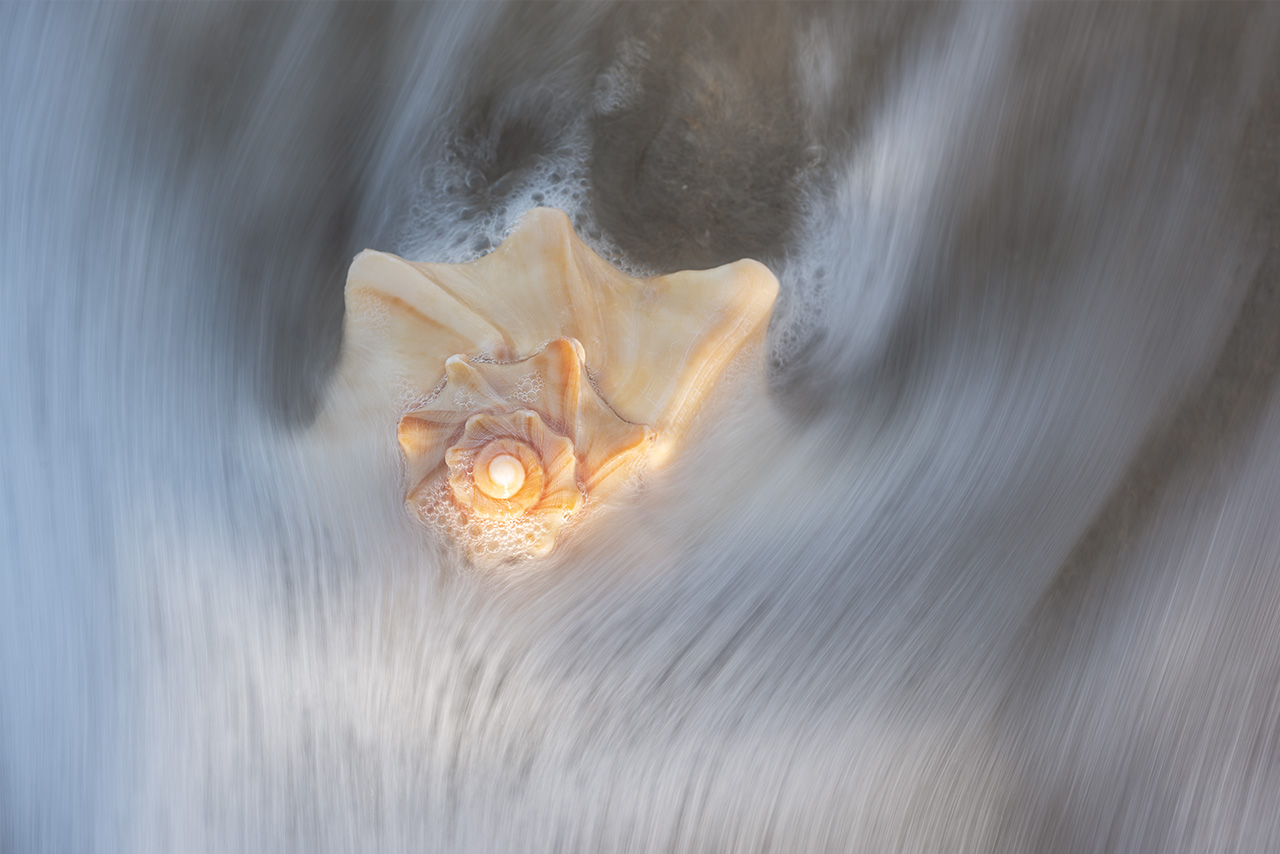
January 2019. A Moon Snail Shell found along Cape Hatteras National Seashore. The color patterns were quite pearlescent when wet. I placed the shell within a shallow area of surf and waited for the incoming waves to interact for this frame. | Photo of the Day |
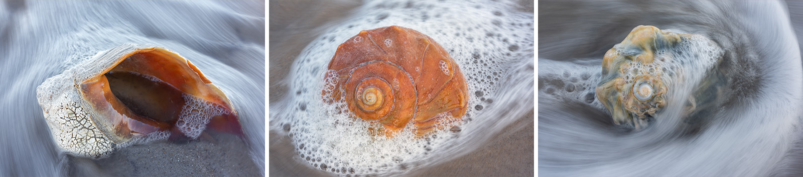
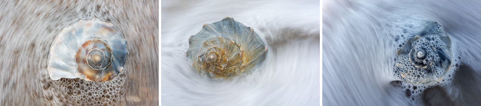
January 2019. The Whelk is one of the largest shells I find along Cape Hatteras National Seashore. The Knobbed Whelk has a right-handed opening (dextral) and often features a bright orange aperature. The Lightning Whelk has a left-handed opening (sinistral) and often features some of the more intense color combinations. | Photo of the Day |
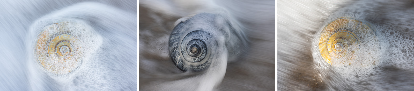
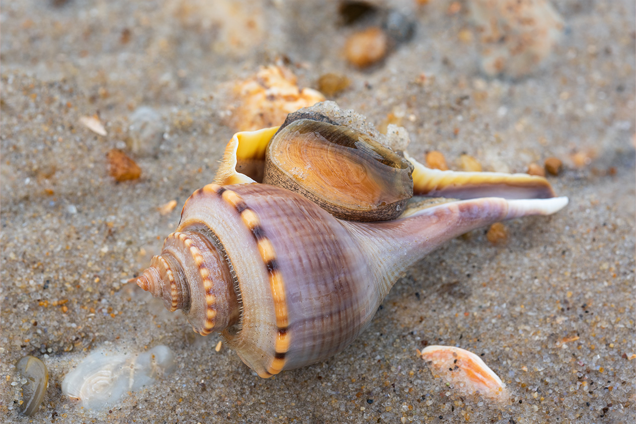
January 2020. A calico-colored Lightning Whelk found along Cape Hatteras National Seashore. Lightning Whelks are sinistral (left-handed openings/apertures). | Photo of the Day |
Pea Island is separated from Bodie Island by the Oregon Inlet. To the south, Pea Island was separated from Hatteras Island by the New Inlet. The New Inlet most recently opened in 2011 following Hurricane Irene. However, it has since closed and a permanent bridge–the Richard Etheridge Bridge–now spans the inlet. Pea Island can thus be considered the northern end of Hatteras Island.
In 1938 the thirteen miles of Pea Island were designated a National Wildlife Refuge. They provide nesting, resting, and wintering habitat for migrating birds. Numerous waterfowl impoundments on the west side of NC-12 attract migrating birds, especially during the winter months. The beaches are part of Cape Hatteras National Seashore. Pea Island is an uninhabited stretch of beach popular with those who shell and beachcomb. I find myself spending a large amount of time on Pea Island with the camera.
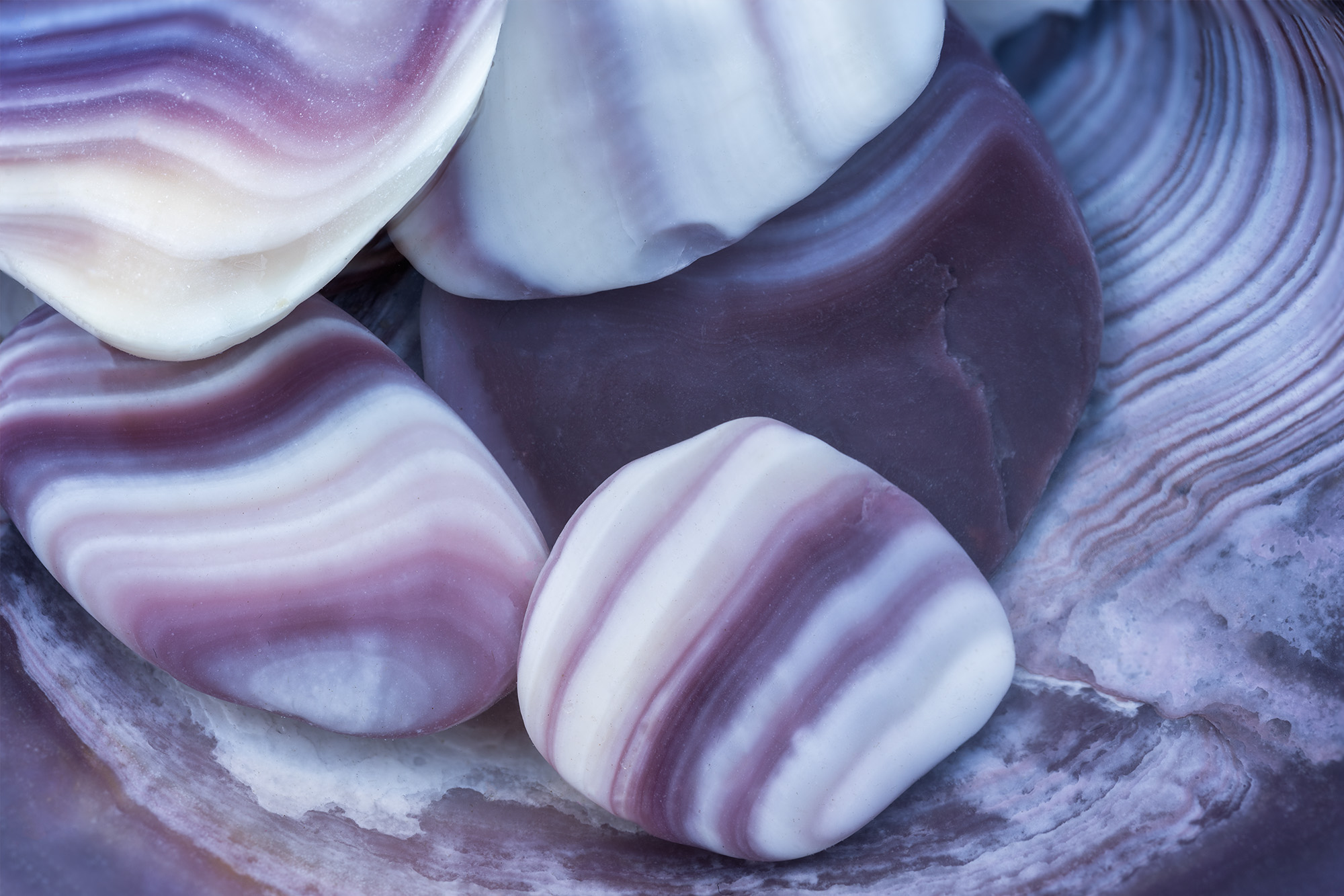
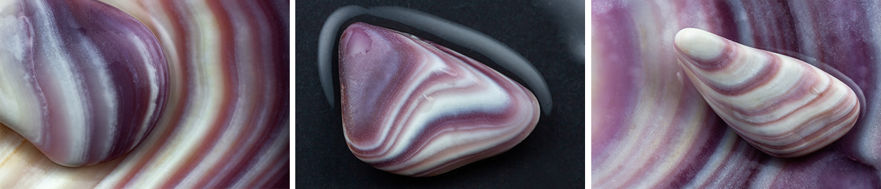
January 2021. Crushed and ocean-polished pieces of Quahog Clam shells. The rich purple coloring on these small bits of clam shell really stand out along Cape Hatteras National Seashore. Native Americans used the purple and white Quahog Clam shells to make Wampum, a ceremonial bead. | Photo of the Day |
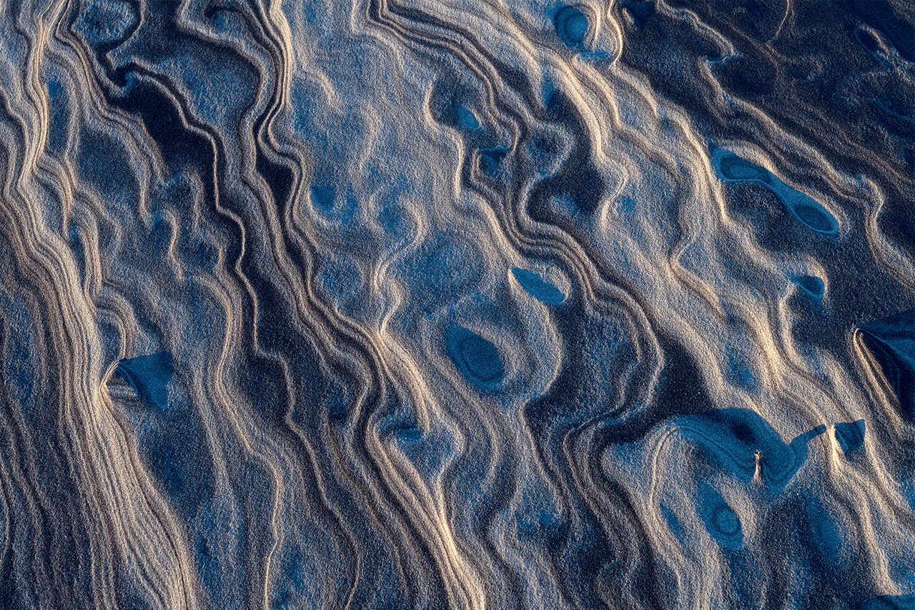
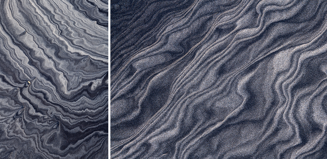
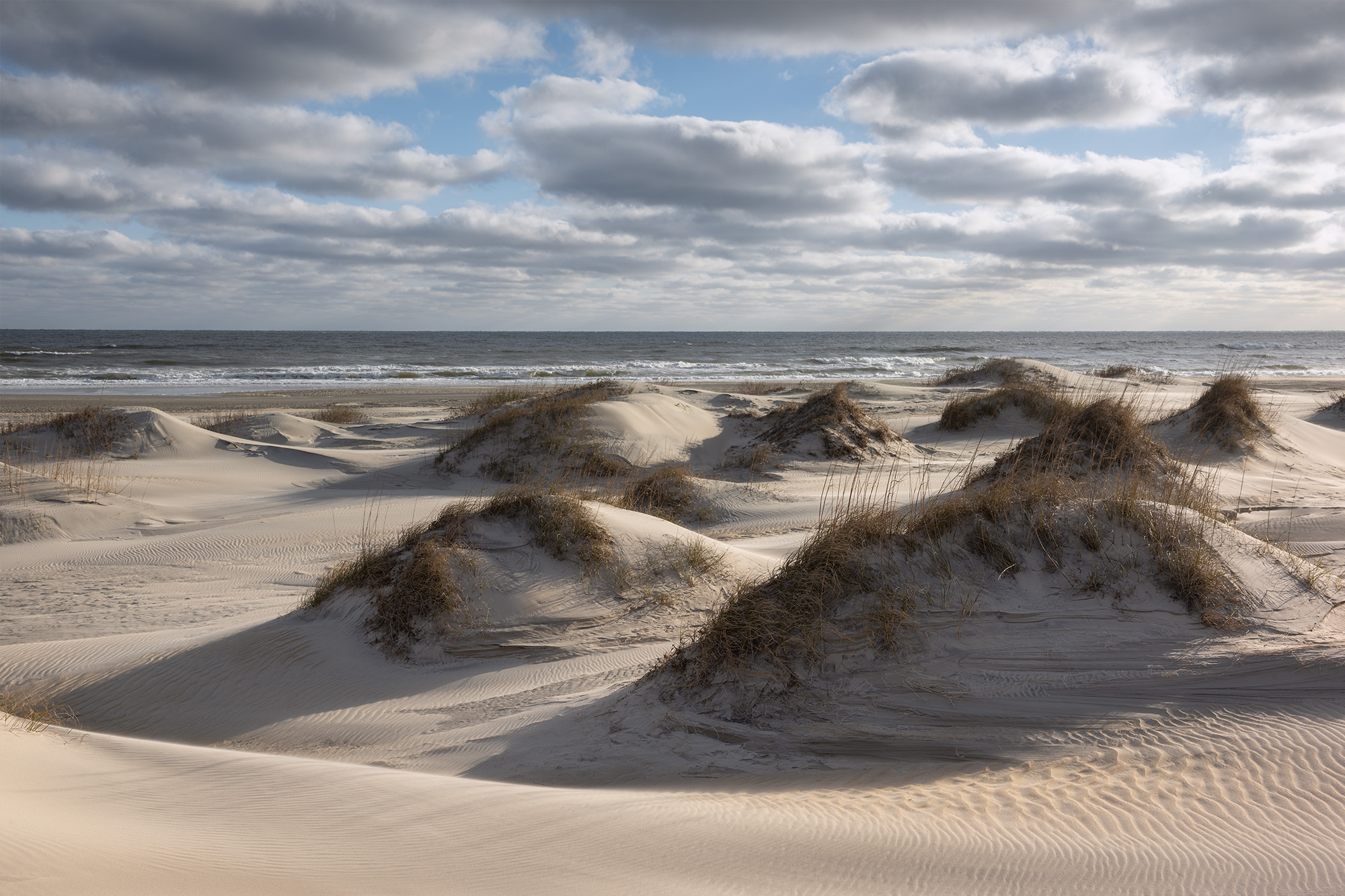
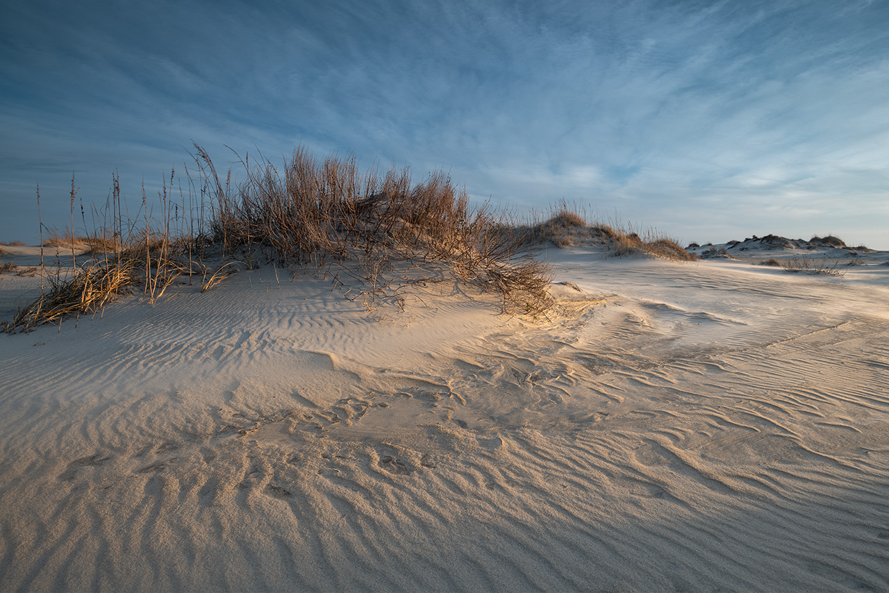
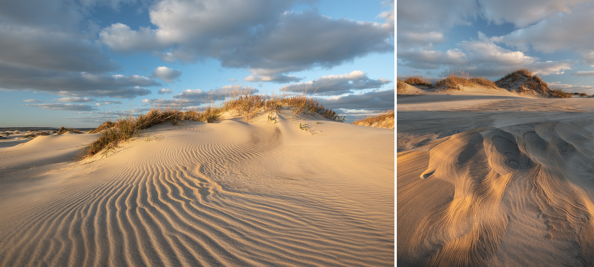
January 2025. When the wind and light conspire to make the beach an art project. Found along Cape Hatteras National Seashore and Pea Island National Wildlife Refuge, North Carolina.
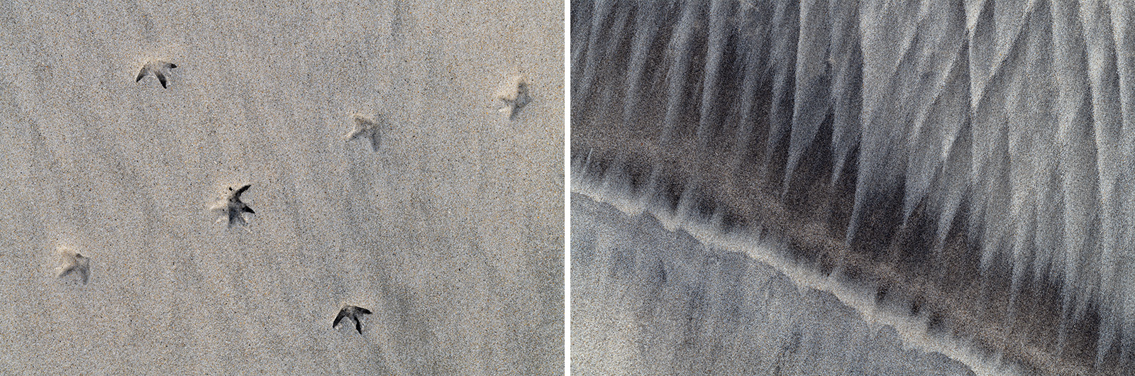
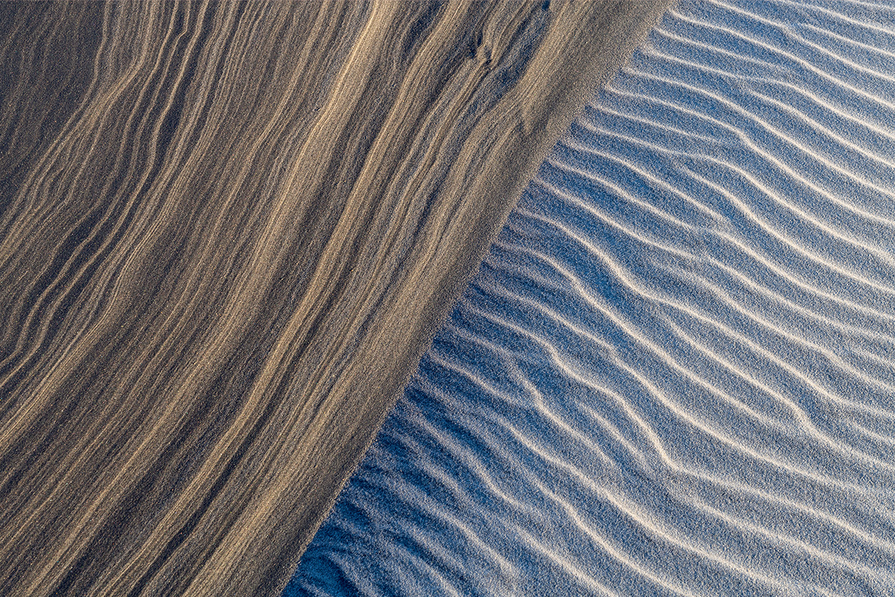
January 2025. The wind cuts two seemingly opposite patterns in the same general area of Cape Hatteras National Seashore along North Carolina’s Outer Banks. I take outsized pleasure walking the beach after a strong winter wind. | Photo of the Day post |
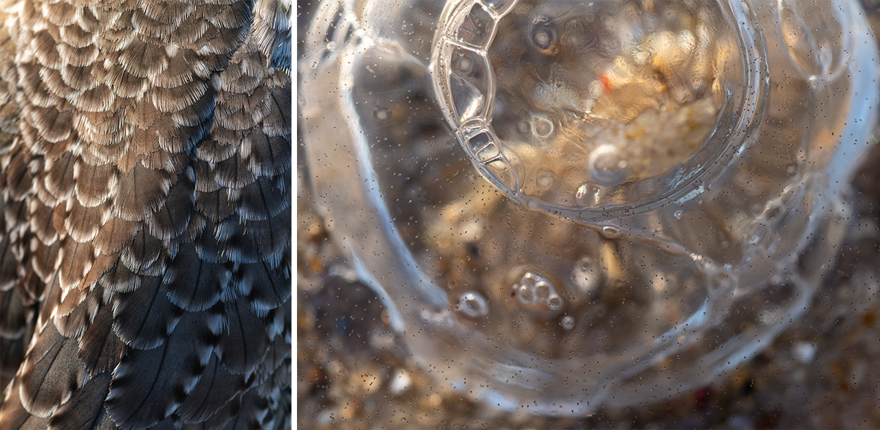
January 2025. Beautiful bird feathers (left) and the fascinatingly strange bits of Moon Jellyfish washed ashore along Cape Hatteras National Seashore.
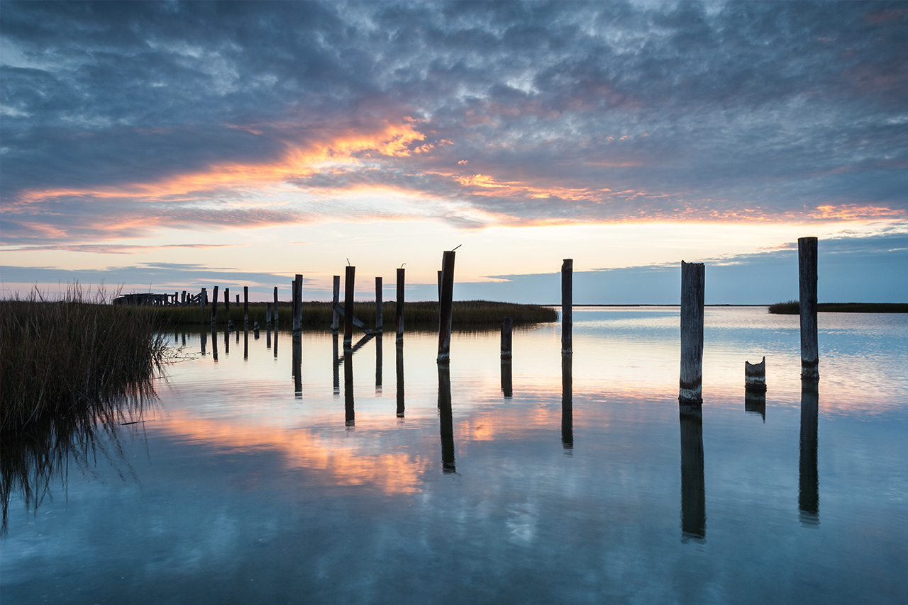
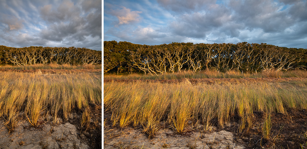
January 2022. The shoreline of the Pamlico Sound at Salvo Day Use Area in North Carolina’s Outer Banks. This area features some of the most amazing Live Oak Trees near the water.
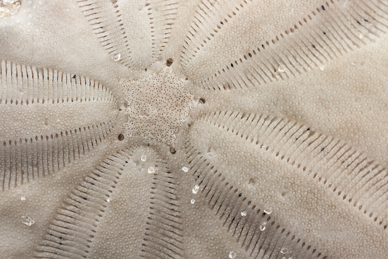
January 2022. Macro view of a Sand Dollar, a flat, burrowing Sea Urchin. I found this one along Cape Hatteras National Seashore in Salvo, North Carolina.
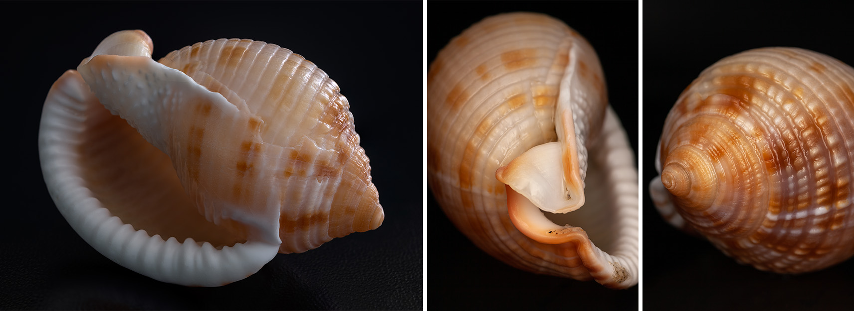
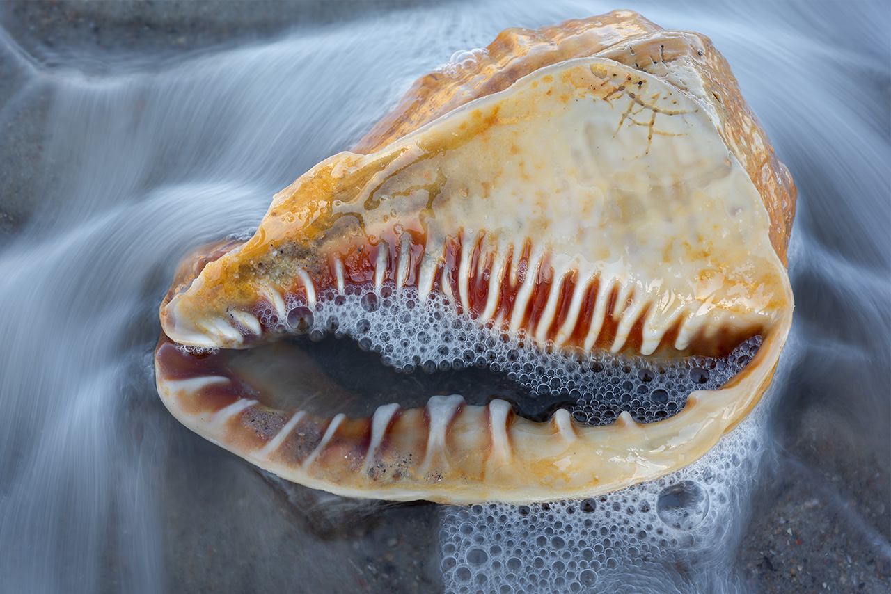
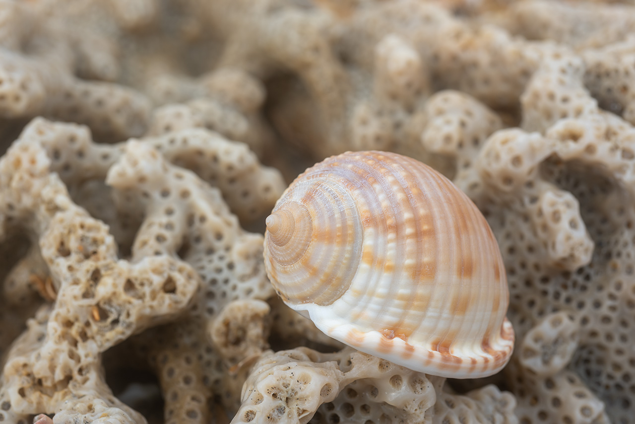
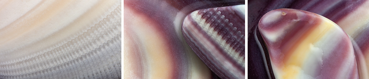
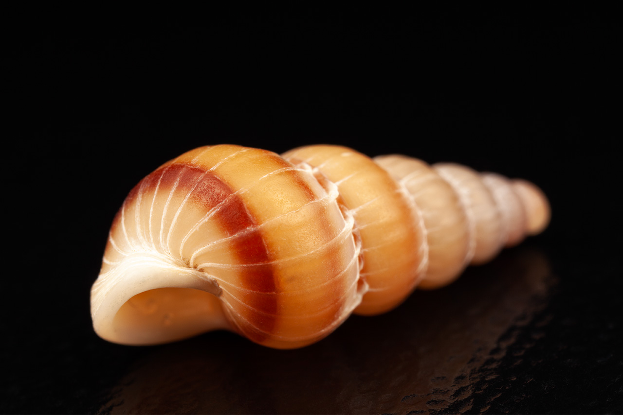
January 2023. Detail views of the Scotch Bonnet Seashell. The Scotch Bonnet is the state shell of North Carolina, the first state to oficially designate a shell. Finding Scotch Bonnets in North Carolina’s Outer Banks is not easy. Mostly, I find them along the south facing beaches (and Ocracoke). There is a spot in Salvo, however, that I’ve also had good luck finding a few of these beauties.
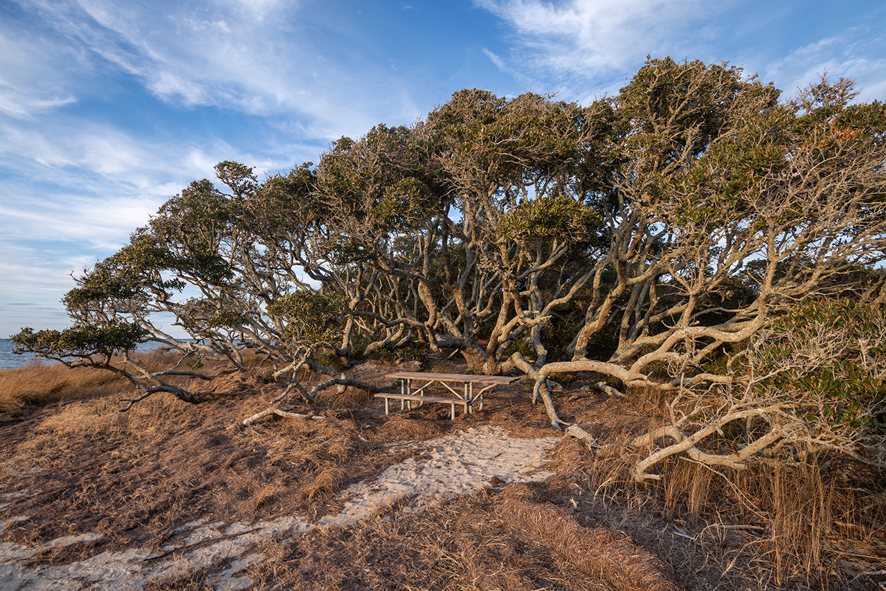
January 2023. A picnic table tucked within Live Oak Trees along the Pamlico Sound in the Salvo Day Use Area.
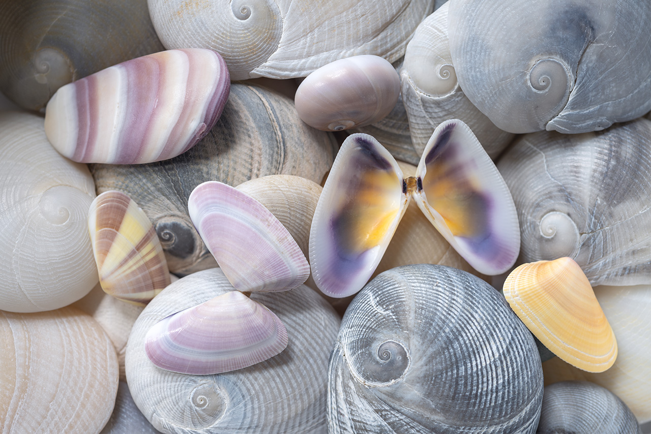
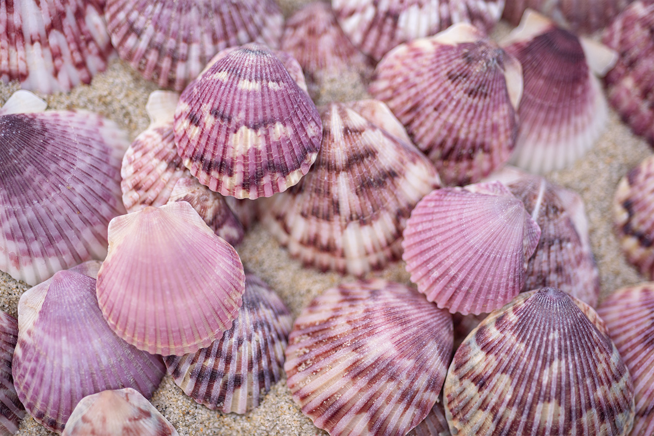
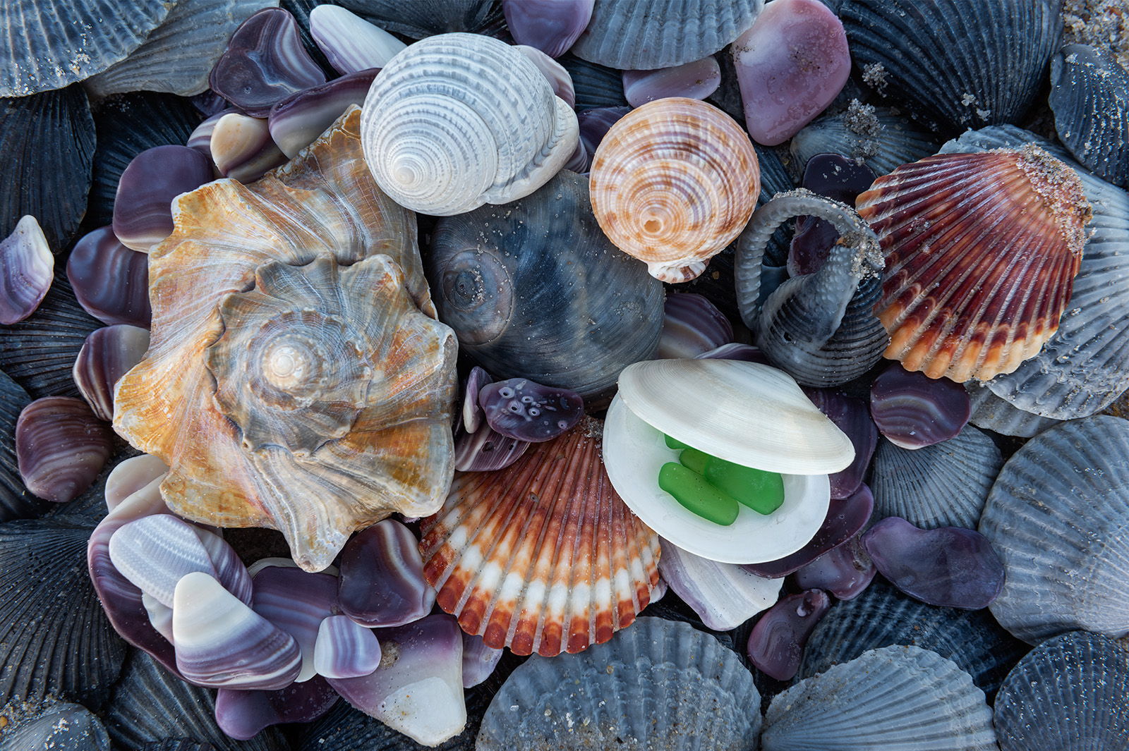
January 2023. Small shells found along Cape Hatteras National Seashore: Baby’s Ears, Coquina Clams, a Moon Snail Shell and a piece of broken Quahog Clam Shell. I don’t collect shells. However, I do love to pick them up, carry them, run my fingers over their textures, and photograph them before returning them to the beaches for someone or something else to enjoy.
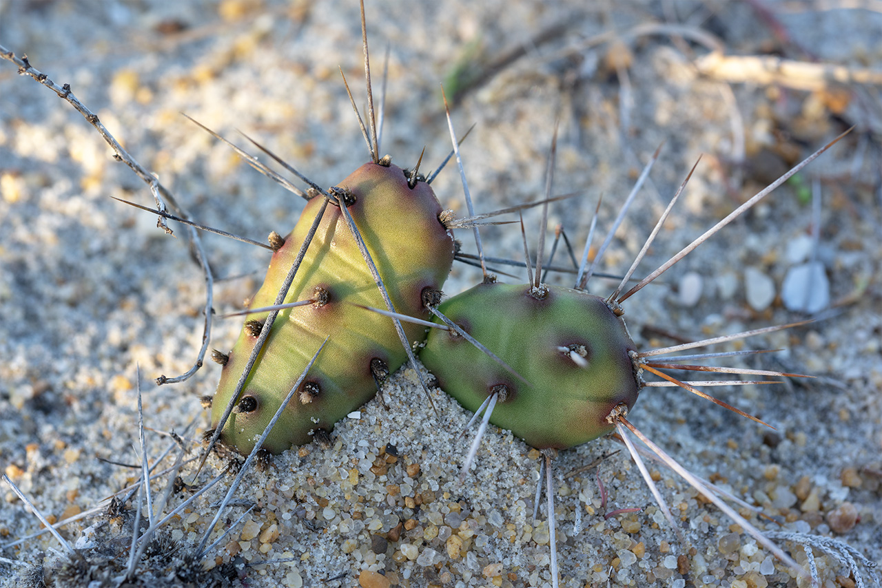
November 2019. If you venture off well-traveled pathways, beware Prickly Pear Cactus. These plants carry spear-like bristles that will send you back different than when you entered.
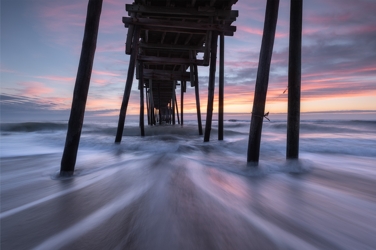
November 2018. Underneath Avon Fishing Pier along Cape Hatteras National Seashore. The Avon Fishing Pier is wooden and undulates like a rollercoaster from the constant stresses of life in the Atlantic Ocean.
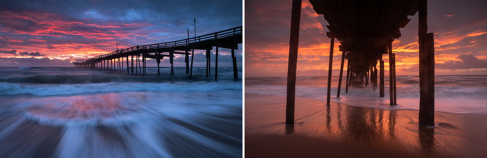
October 2019. Sunrise colors the sky over the Avon Fishing Pier, Cape Hatteras National Seashore, North Carolina.
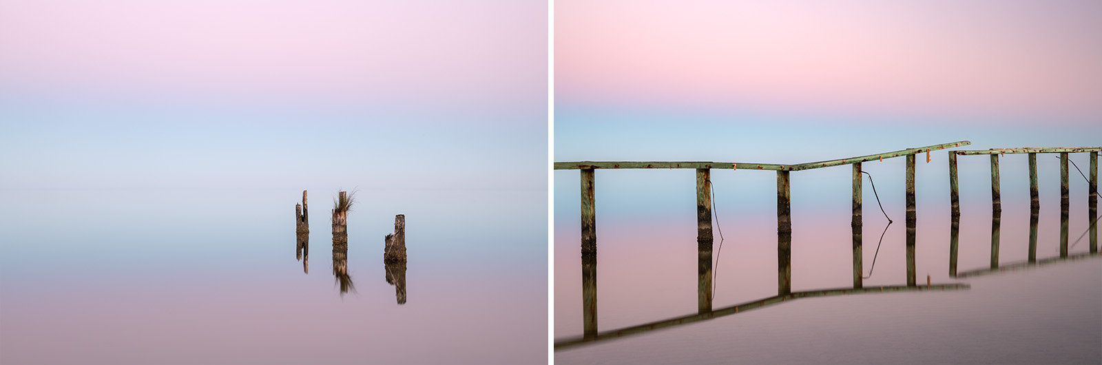
November 2020. The earth’s shadow at dawn paints the sky pastel pinks and blues while the Pamlico Sound mirrors. This was one of the calmest days I’ve ever experienced on North Carolina’s Outer Banks. This was an old community boat ramp in the village of Avon.
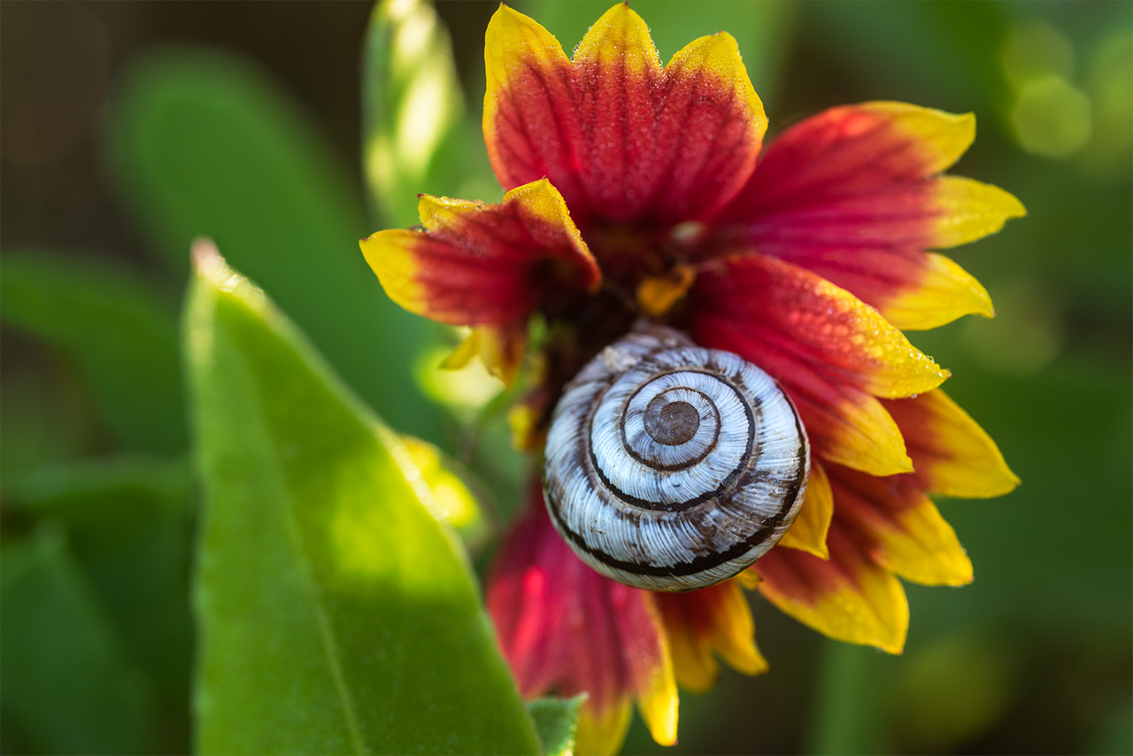
November 2020. A snail snacks on an Indian Blanket wildflower along NC-12 between the villages of Avon and Buxton, North Carolina.
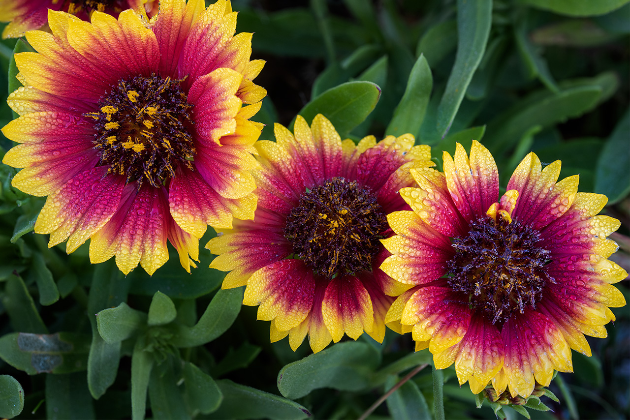
November 2020. Indian Blanket wildflowers growing along NC-12 between the villages of Avon and Buxton, North Carolina. This stretch of highway–near the Canadian Hole–is always flush with these wildflowers. This was a particularly calm morning and the flowers were rich with dew.
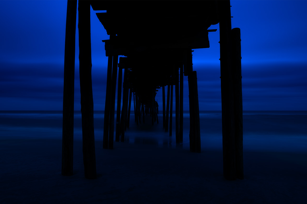
January 2022. Deep blue hour underneath Avon Pier along Cape Hatteras National Seashore, North Carolina.
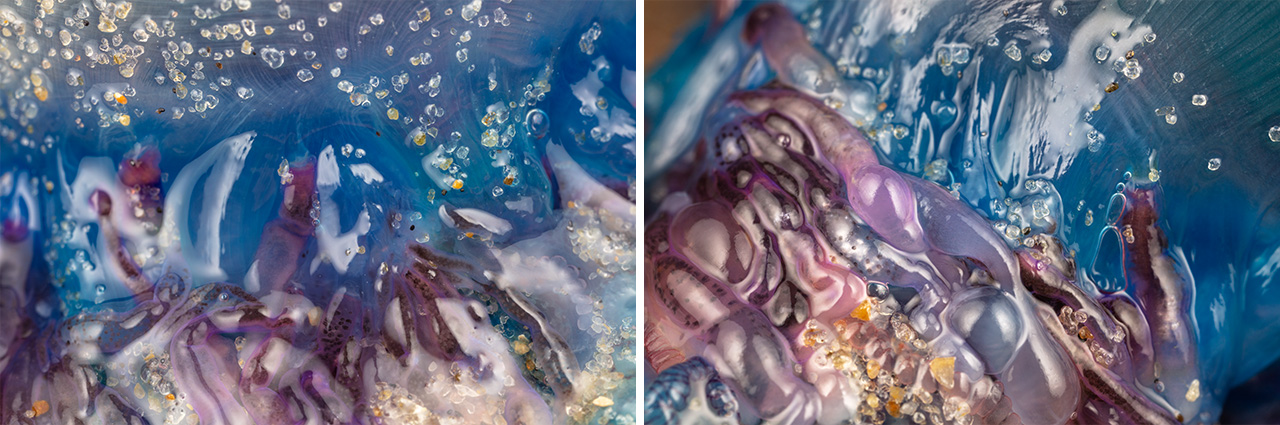
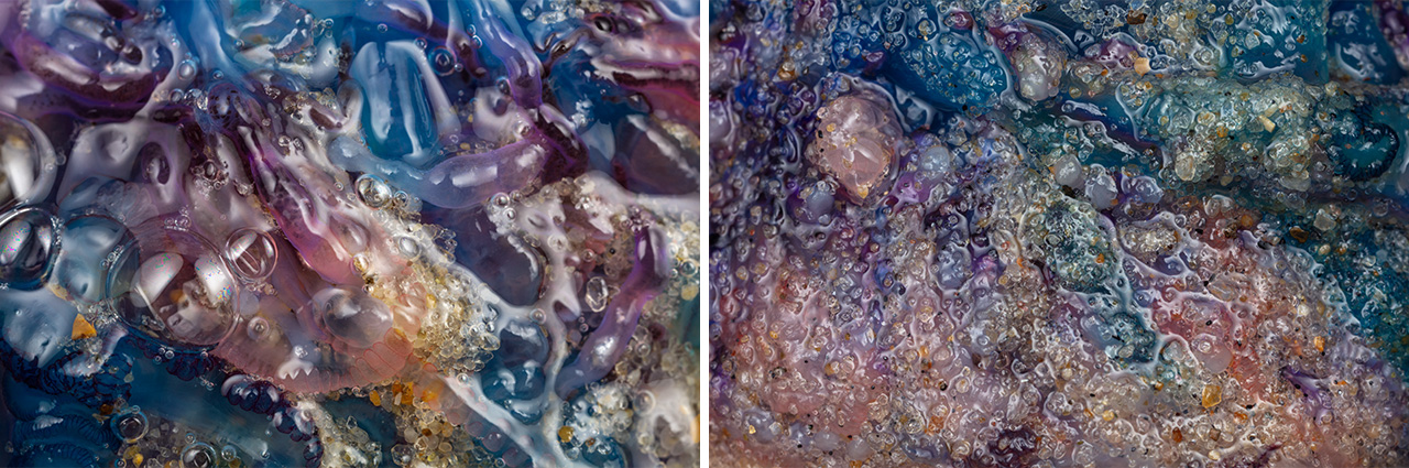
January 2024. Detail photos of a beached Portuguese Man O’ War washed ashore near the Avon Fishing Pier in North Carolina’s Outer Banks (OBX). The colors on these strange Siphonophores are mesmerizing.
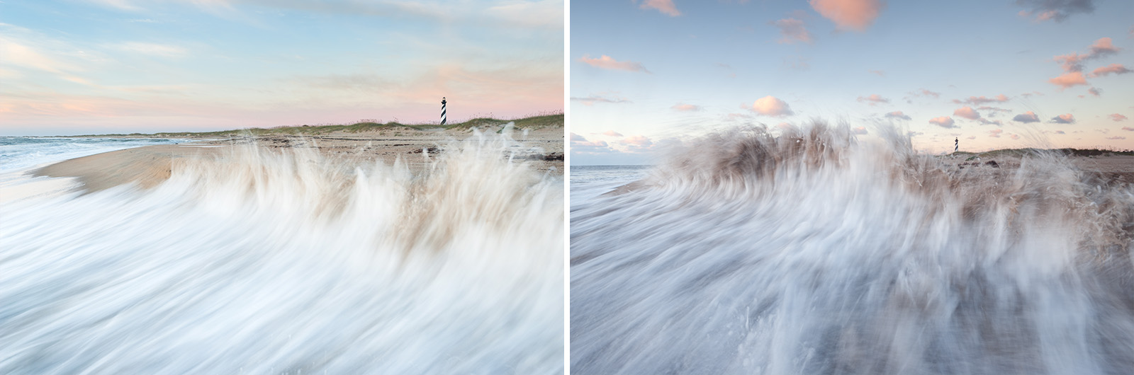
November 2014. Waves at high tide hit a wall of sand at Old Lighthouse Beach and curl back towards the sea. This was a risky photograph that ultimately ended with saltwater on my camera and lens. However, the ability to connect Cape Hatteras Lighthouse to the sea was too enticing not to try.
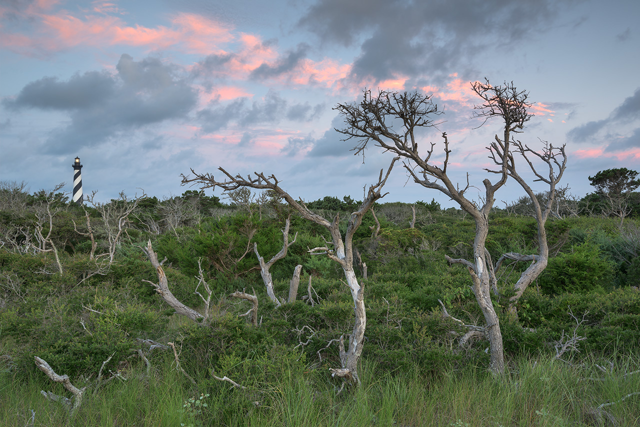
August 2015. After moving the Cape Hatteras Lighthouse in 1999, it now sits fifteen hundred feet from the Atlantic Ocean, tucked into a stand of maritime forest. This image was made from the beach, peeking up and over the primary dune and back towards the light.
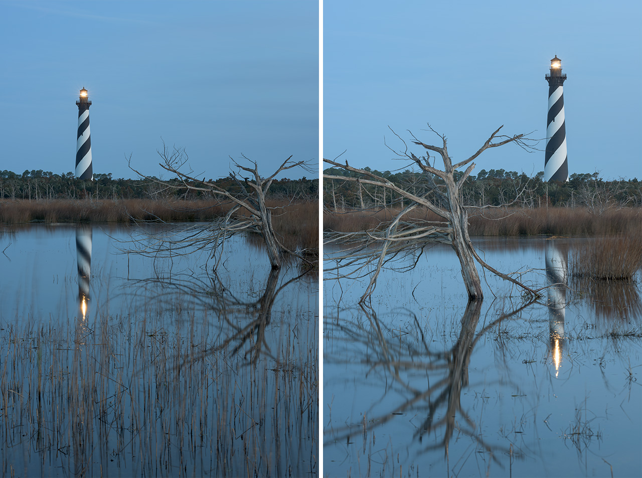
March 2016. The Cape Hatteras Lighthouse sits within an area of beautiful maritime forest and marshlands in Buxton, North Carolina. I always wanted to wade into these marshes and photograph the lighthouse reflecting into the waters but I don’t know the rules or have an understanding of what is harmful for this environment. It’s still an adventure that I would like to explore.
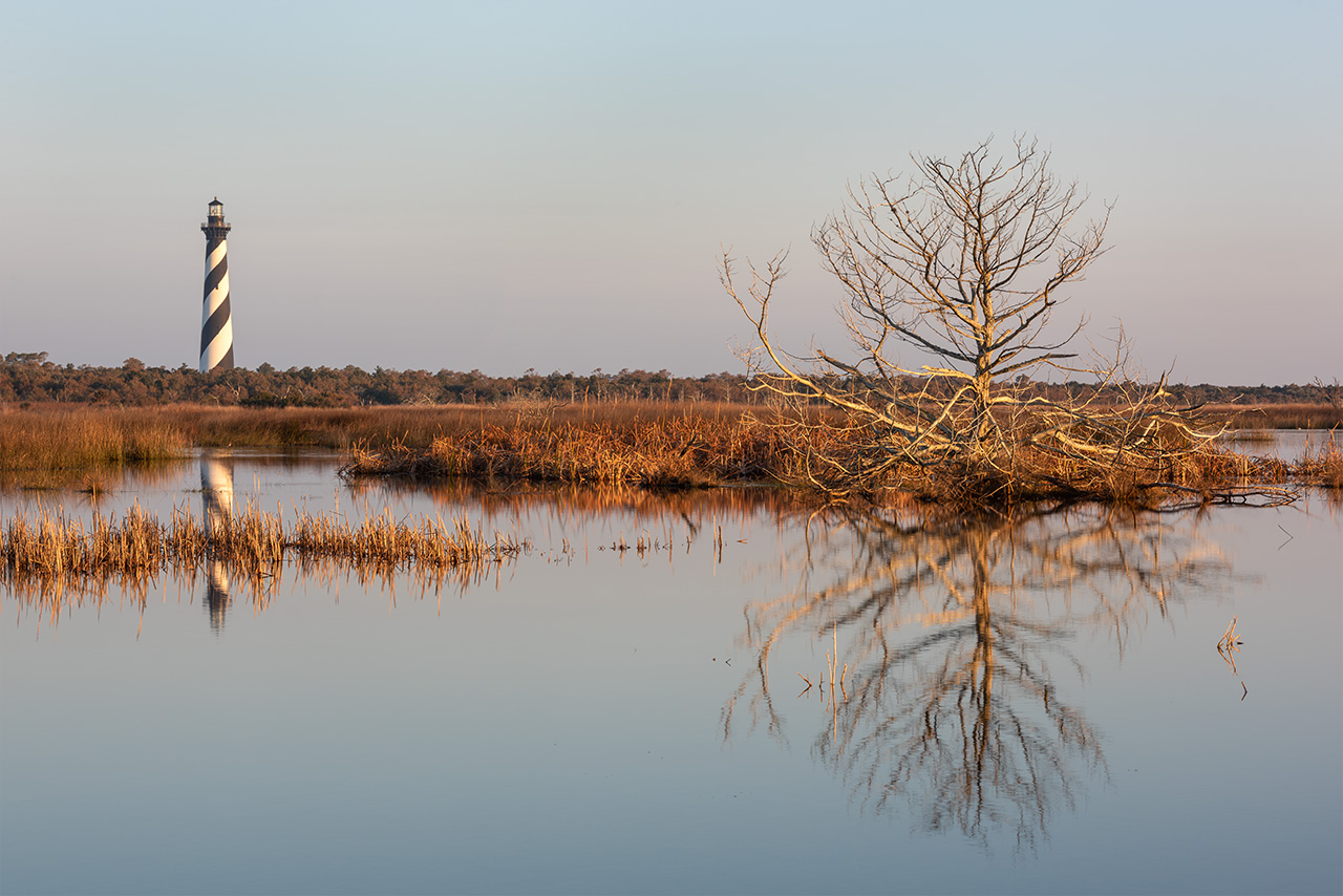
January 2019. The Cape Hatteras Lighthouse reflects into calm marsh waters near The Point in Buxton, North Carolina. Despite many efforts, I’ve never been able to line this shot up with both calm conditions and busy skies at sunrise/set. Something to look forward to still!
Cape Hatteras Lighthouse is the tallest brick lighthouse in the United States. It’s famous for it’s daymark, a black double helix stripe that many refer to as the “barber pole.” Nearly 1.25 million bricks comprise the structure. In September 1999 the lighthouse was moved 2900 feet to retreat away from coastal erosion along the shoreline. The lighthouse served one of the most dangerous stretches of shoreline in the Outer Banks, where the Labrador and Gulf Stream collide offshore creating dangerous shoaling near Cape Hatteras in Buxton, North Carolina.
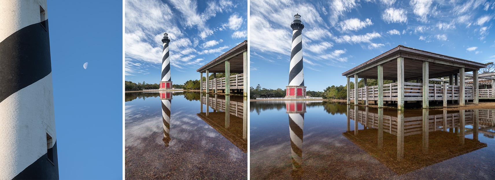
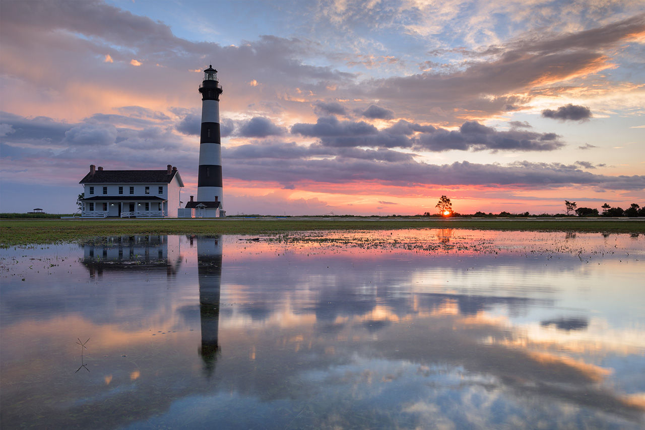
January 2021. An extremely wet winter season leaves a deep pool of standing water in front of the Cape Hatteras Lighthouse in Buxton, North Carolina. After a long morning of shelling the beaches near The Point, a restroom break at the visitor’s center revealed these beautiful reflections and prompted me to run for the camera. | Photo of the Day |
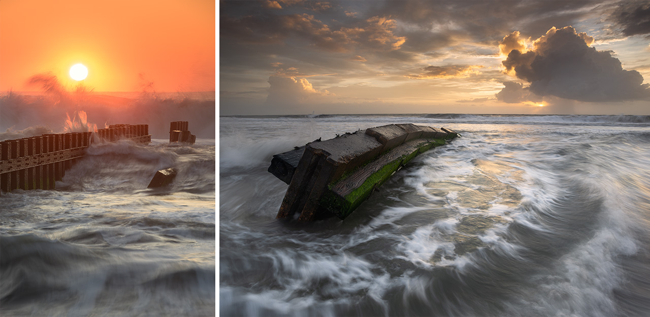
September 2017 (Left). The sun rises above the Atlantic Ocean and the third jetty/groin at Old Lighthouse Beach in Buxton, North Carolina. November 2018 (Right). A passing rainshower offshore builds surf around the second jetty/groin along Old Lighthouse Beach in Buxton, North Carolina.
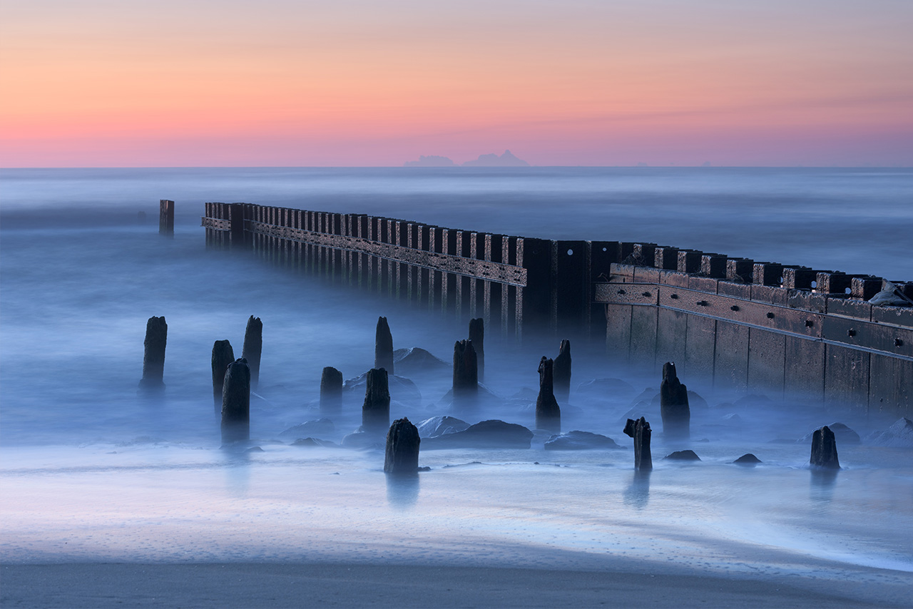
September 2017. A long exposure smoothes the Atlantic Ocean around the third jetty/groin at Old Lighthouse Beach in Buxton, North Carolina. The stones and additional wooden pilings were added in the nineties. The structure has eroded considerably since. A rehabilitiation is planned in 2026 for this groin.
The Buxton Jetties–technically groins–were constructed in 1969-70 by The U.S. Army Corp of Engineers to protect a nearby cold war naval facility, as well as the Cape Hatteras Lighthouse. The three groin structures pre-date the Coastal Area Management Act of 1974 that prohibits hardened structures along Cape Hatteras National Seashore. The purpose of the Buxton Groins was to trap sand on the beaches and prevent longshore drift. The state is preparing to repair the southernmost of the three groins in 2026 to, hopefully, trap and retain some of the massive sand renourishment project they are planning to the north.
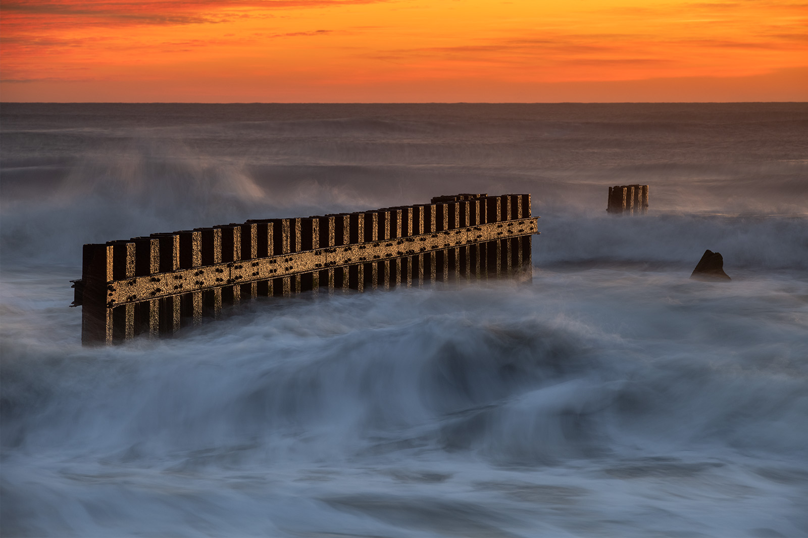
January 2022. The continued degradation of the third jetty/groin along Old Lighthouse Beach in Buxton, North Carolina. The ocean pounding this structure at sunrise makes for quite a dynamic visual behind the lens. This is a popular area to watch sunrise along Cape Hatteras National Seashore.
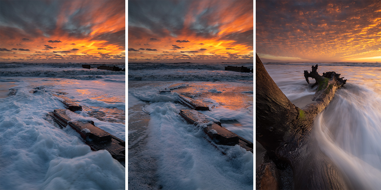
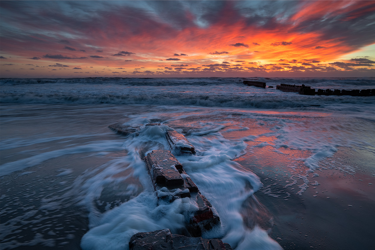
January 2022. A winter storm uncovers the brick wall foundations of the wrought iron fence that used to surround Cape Hatteras Lighthouse when it sat on the shoreline before being moved in 1999. It’s fascinating how much history is just beneath the sand along this small stretch of beach in Buxton, North Carolina.
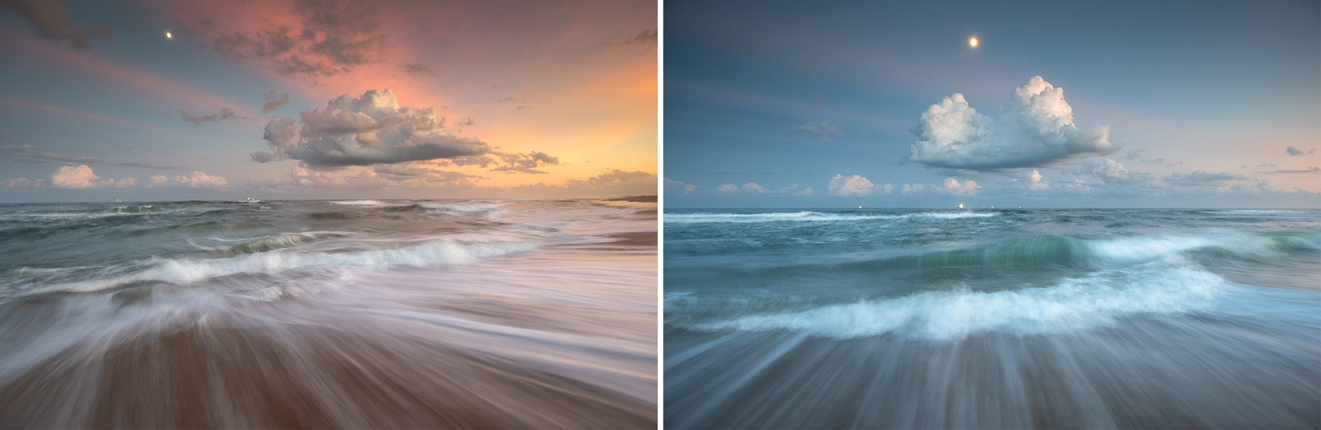
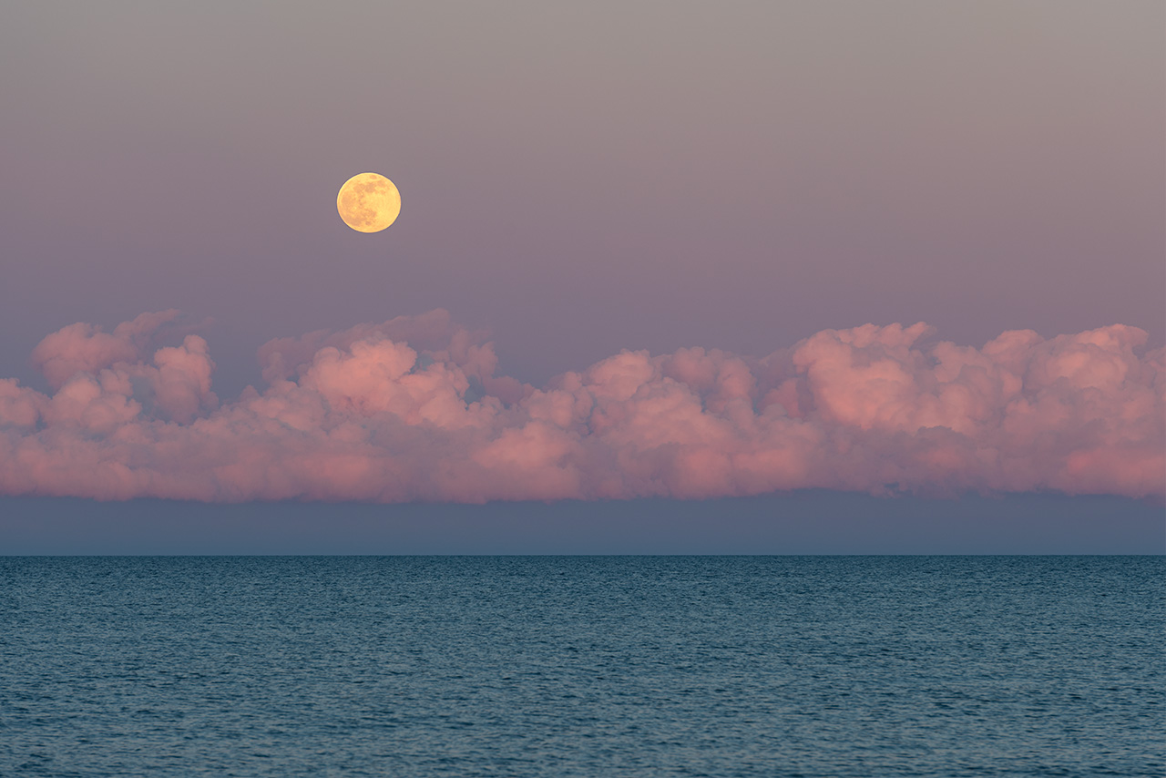
November 2019. A full moon rises over the Atlantic Ocean along Old Lighthouse Beach and Cape Hatteras National Seashore in Buxton, North Carolina. The lights of shrimp trawlers can be seen just offshore. The commercial trawling season peaks in summer for brown shrimp and fall for white shrimp, with the season for both ending in late November.
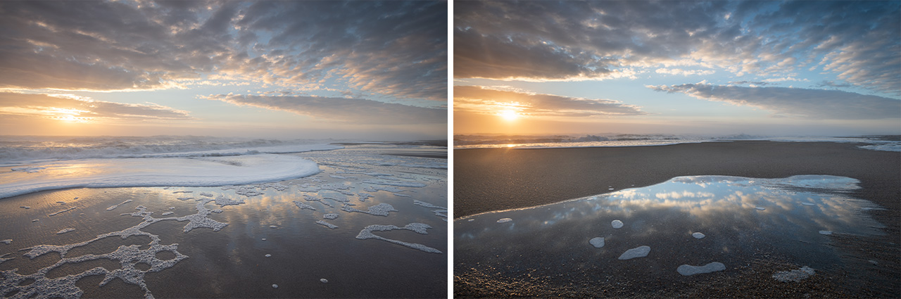
February 2021. High tide washes the beach near The Point in Buxton, North Carolina. This area is famous for fishing. Just offshore, the Labrador and Gulf Stream collide, shoaling and mixing the waters, making for an incredibly productive area to fish and shell along Cape Hatteras National Seashore. | Photo of the Day |
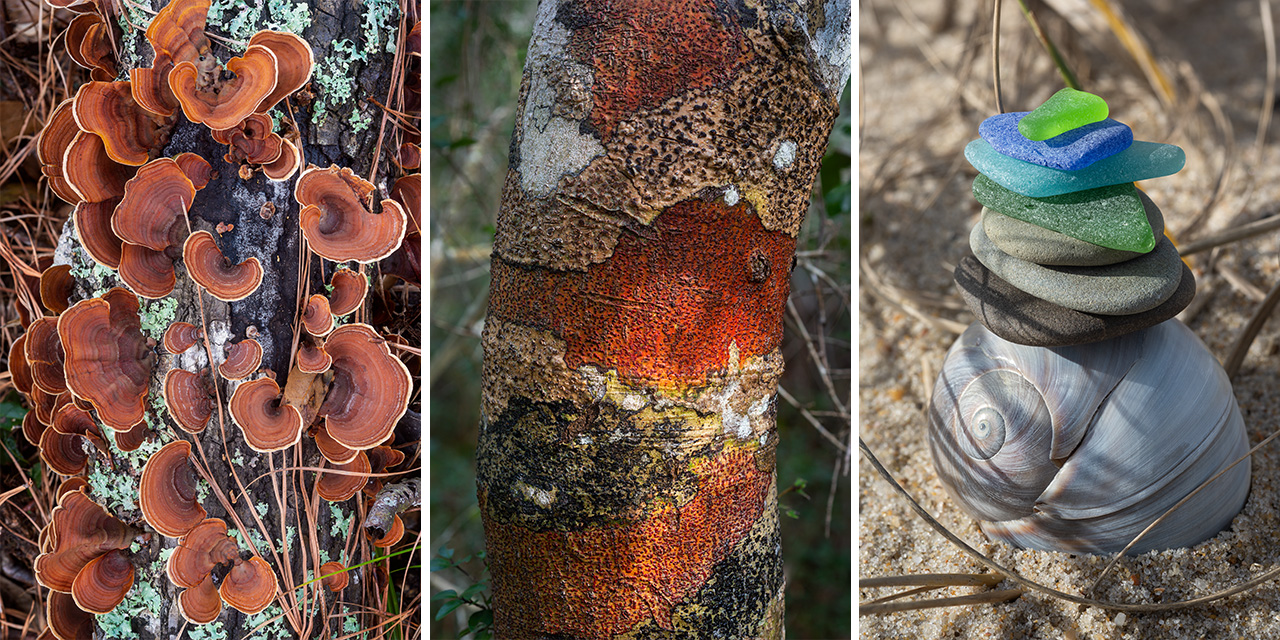
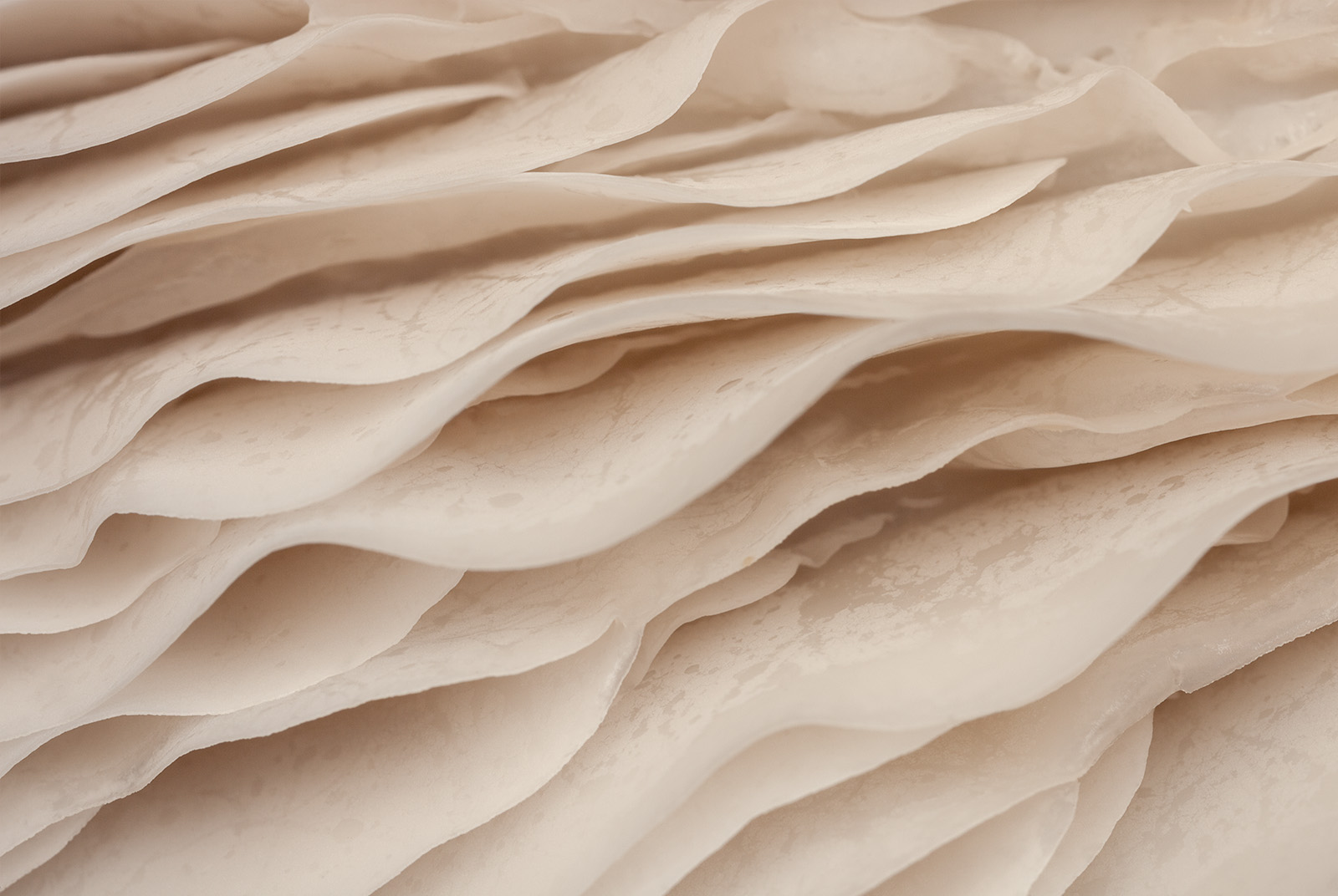
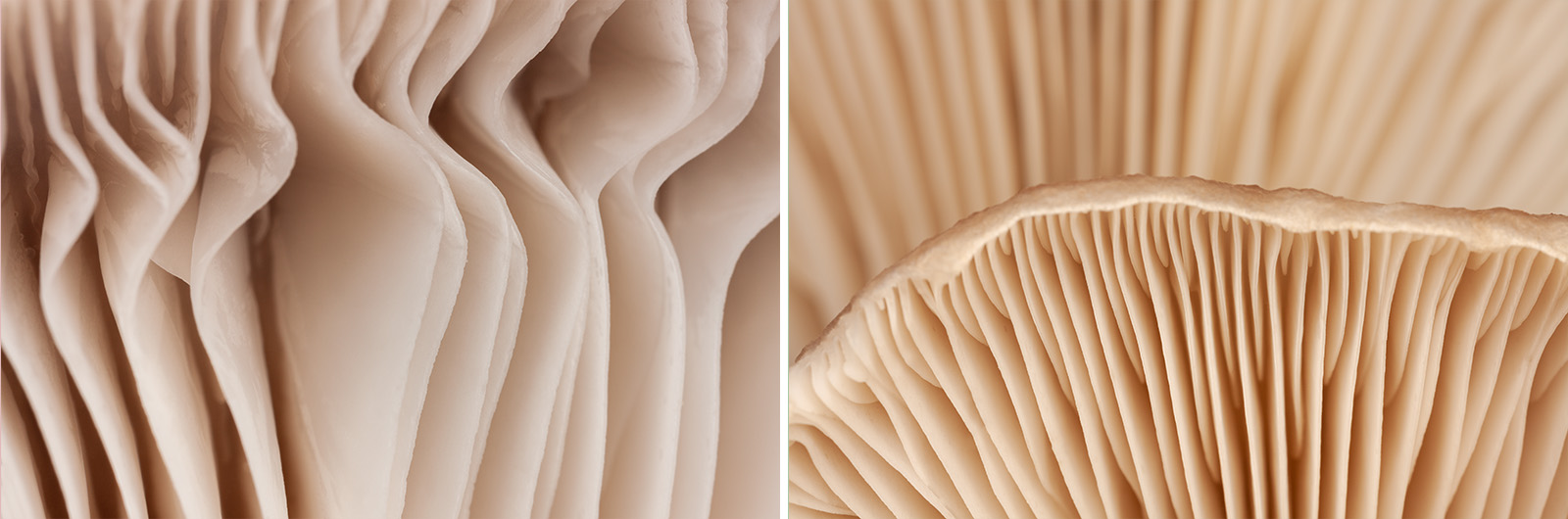
January 2021. Left and center: mushrooms and lichen found within the maritime forests of Buxton, North Carolina. Right: a stack of sea glass and stones atop a Moon Snail shell on the beach near The Point in Buxton, North Carolina.
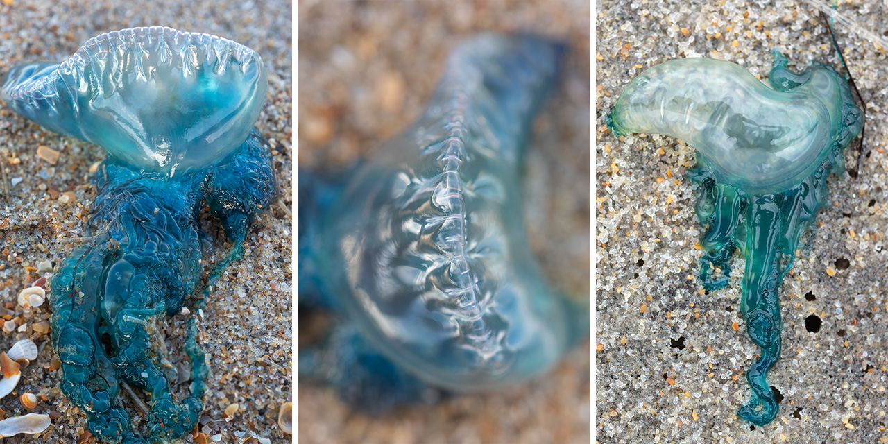
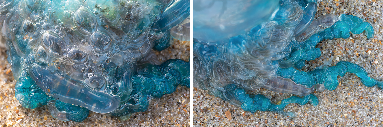
November 2019. Portuguese Man O’ Wars washed ashore along Cape Hatteras National Seashore. Man O’ Wars are siphonophores, or colonial organisms, made up of many smaller organisms called zooids. These man o’ wars were missing the tentacles; they had the bubble-like sail and the feeding and reproductive bits.
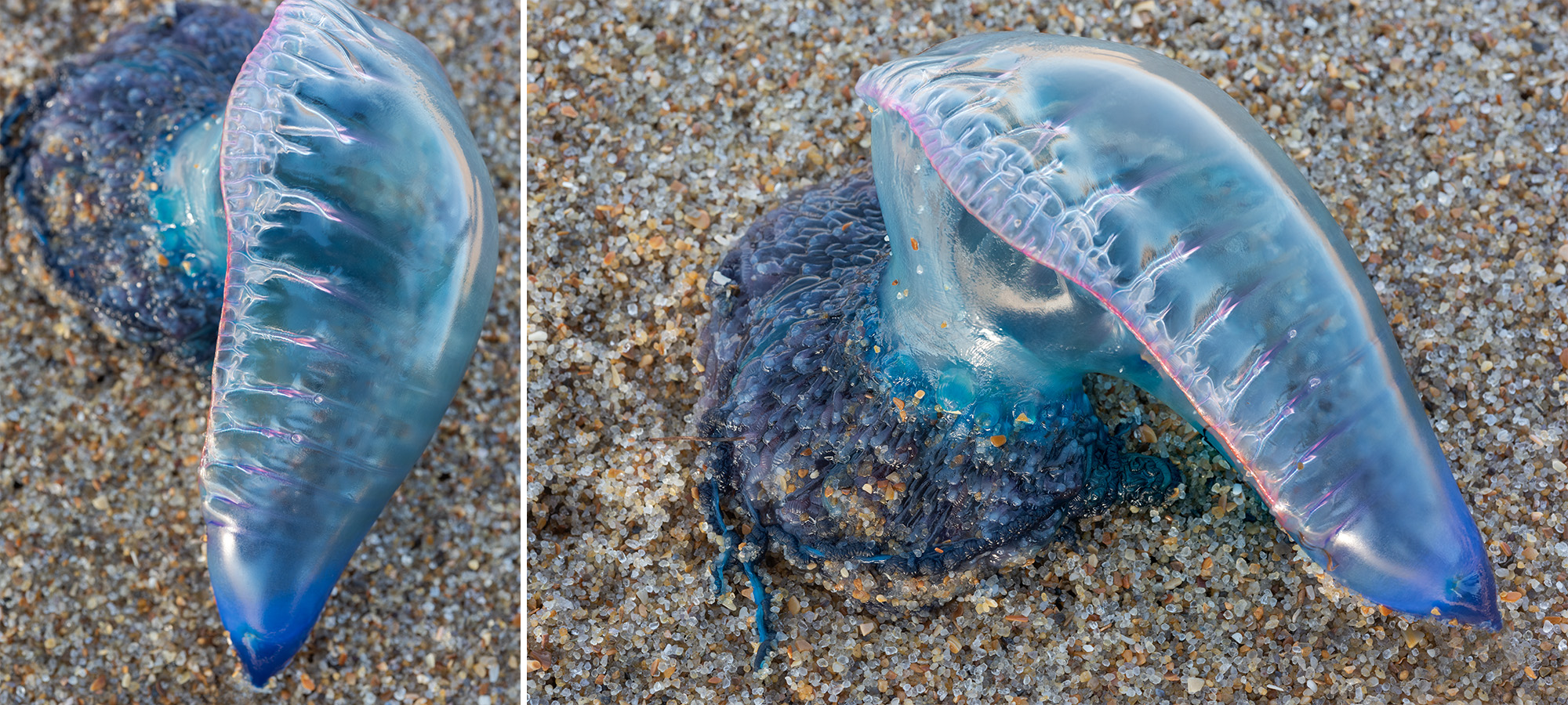
January 2020. The colorful sails of a Portuguese Man O’ War beached along Cape Hatteras National Seashore. The sails are known as pneumatophore. They are gas-filled bladders that are used as both flotation devices and sails to catch the prevailing winds. If necessary, the animal has the ability to deflate the sail temporarily if under attack from surface predators.
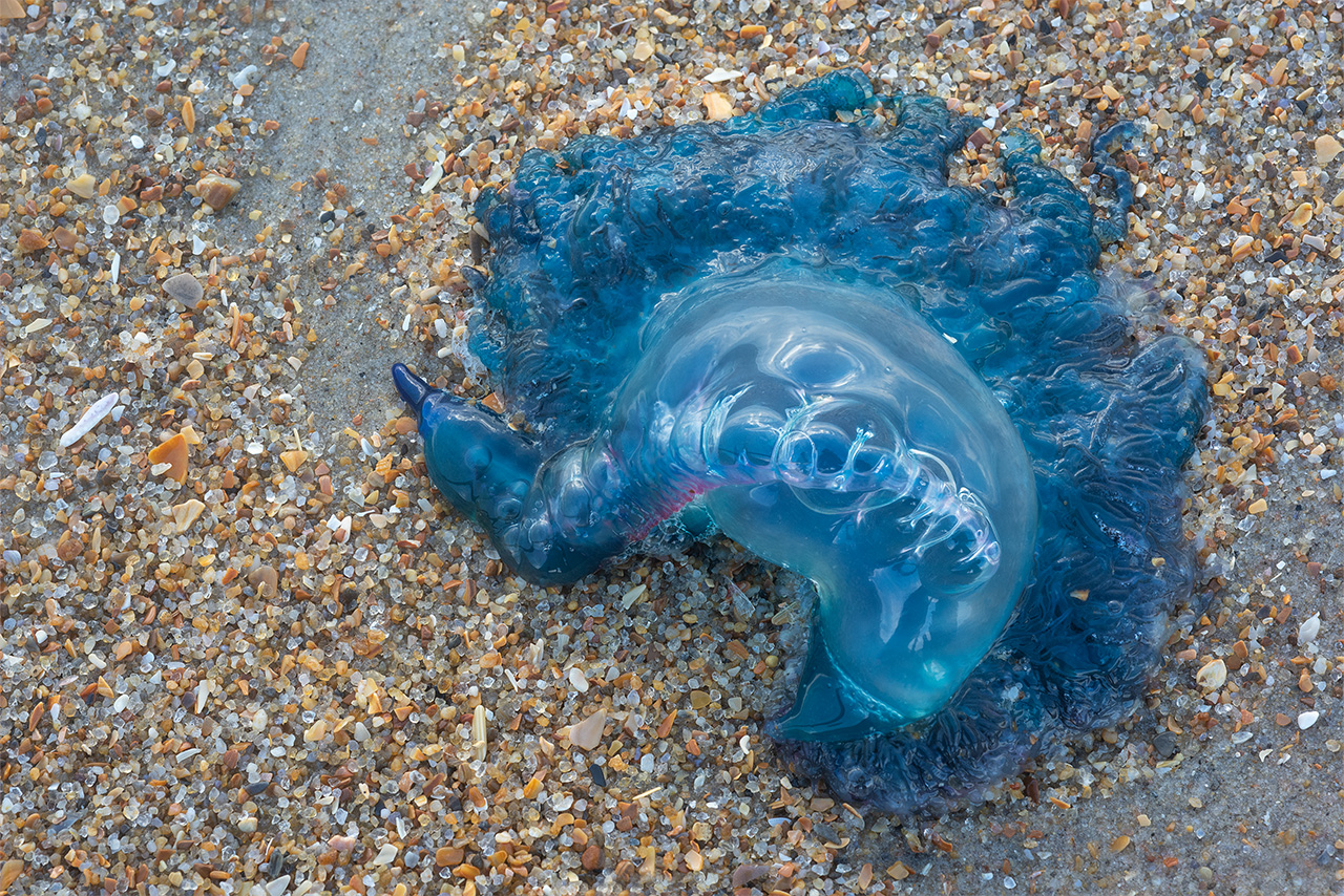
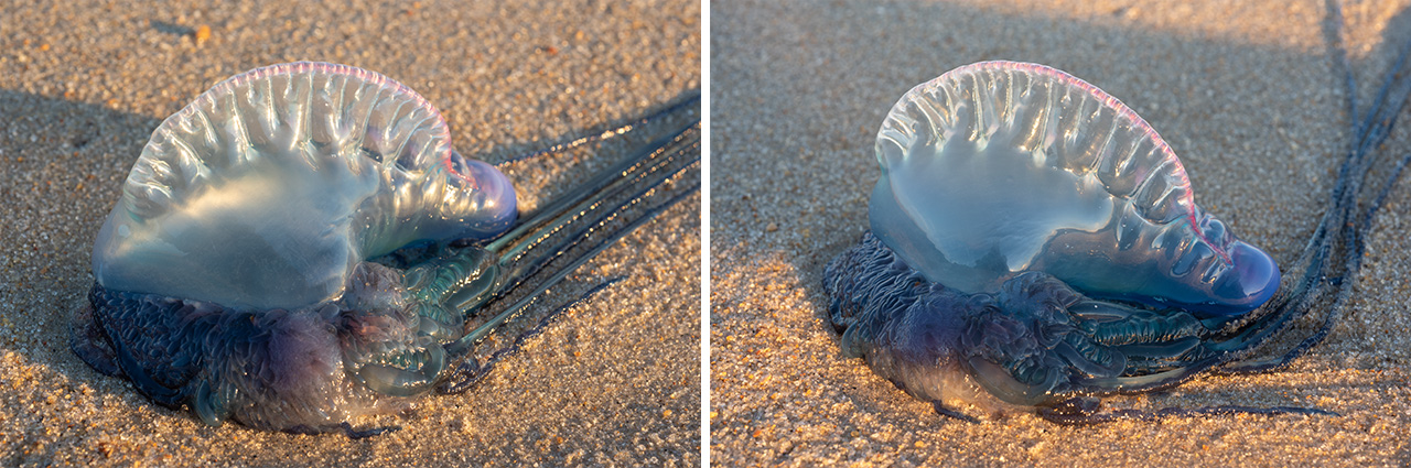
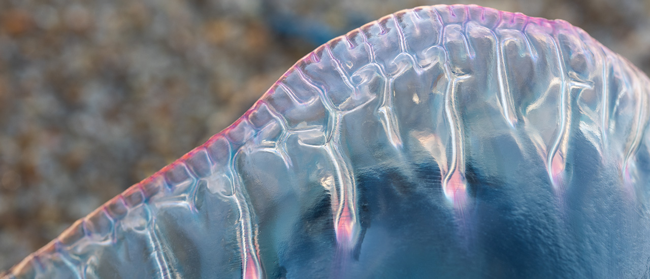
January 2020. The beautiful Portuguese Man O’ War washed ashore along Cape Hatteras Nationanl Seashore near The Point in Buxton, North Carolina. I find the bright colors and otherworldly textures and patterns of the Man O’ War irresistible behind the lens. | Photo of the Day |
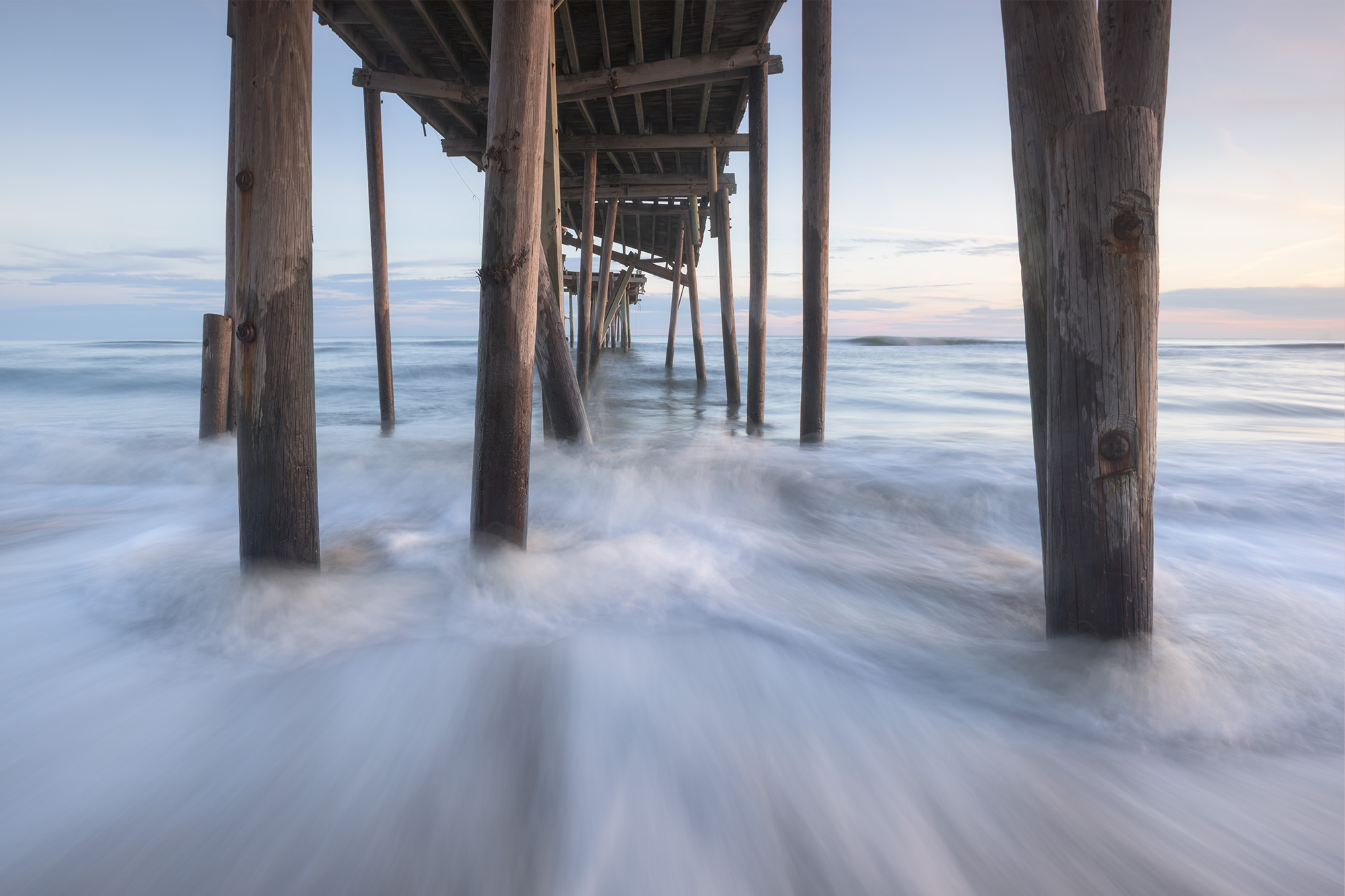
November 2016. Underneath the Frisco Fishing Pier. Originally called The Cape Hatteras Fishing Pier, the structure was built in 1962. It stretched around 600 feet into the Atlantic and was the only south-facing fishing pier in the Outer Banks (OBX). The Frisco Fishing Pier closed in 2008 and never reopened to the public. By 2017, the entire structure was removed.
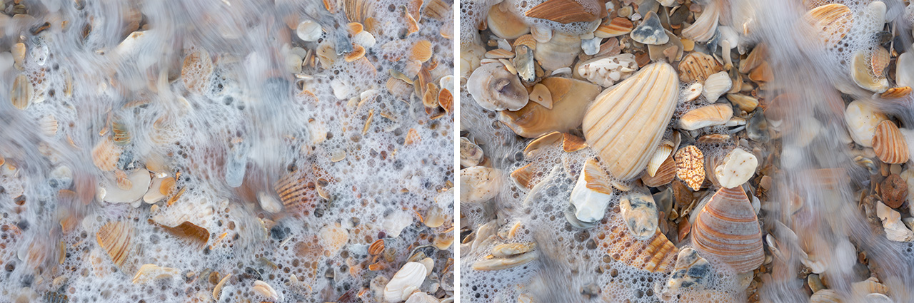
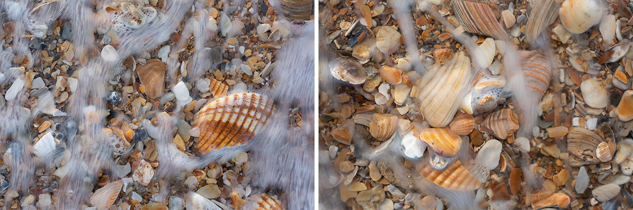
November 2018. High tide washes a thick pile of shell hash along Cape Hatteras National Seashore. These piles are often where beachcombers look for small pieces of colorful seaglass.
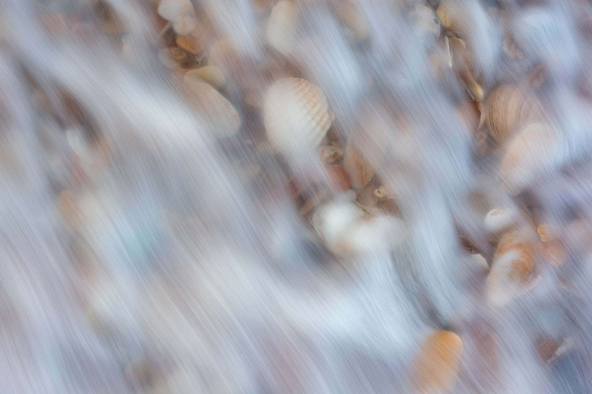
November 2018. My favorite sound at the beach is when high tide begins to wash through a thick pile of shell hash. If you stop and listen, the water moves the shells against each other, the clinking similar to a dull wind chime. When I stopped to enjoy this happening near Hatteras Point, I decided to pull the camera and see if I could visually capture the moment.
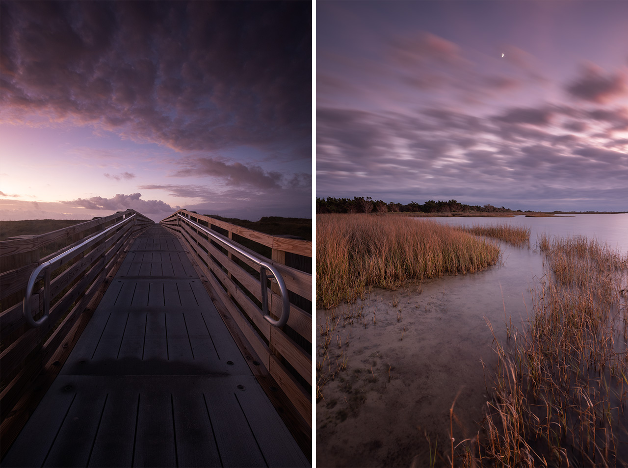
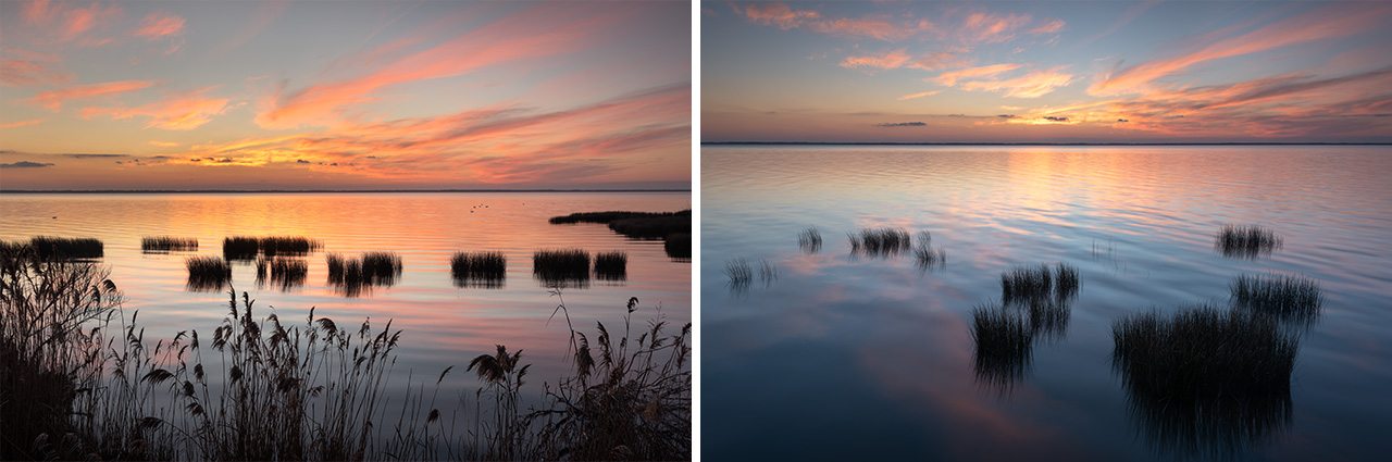
November 2019. Left: predawn skies over a Hatteras Island boardwalk across from the Graveyard of the Atlantic Museum. Right: Dusk clouds move through the sky over the marshes along Pamlico Sound near Salve Day Use Area.
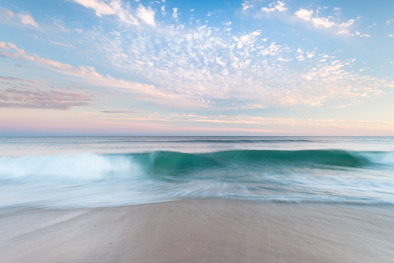
October 2014. Wind direction affects water color in the Outer Banks. A light east or southeast wind often gives the best chance for the blue-green tropical waters to show clearly. I had to stop and photograph the ocean near Hatteras Point on this particular evening because of the clarity and color of the water.
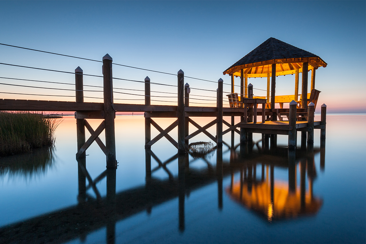
October 2013. Before real estate became prohibitively expensive for normal people, my mother’s favorite part of a trip, I think, was finding and selecting which rental property to choose. The opportunity to live a different life for a week, I suppose. This was one of her favorite rentals, a soundfront home with it’s own private gazebo and boardwalk. It became a frequent subject behind the lens.
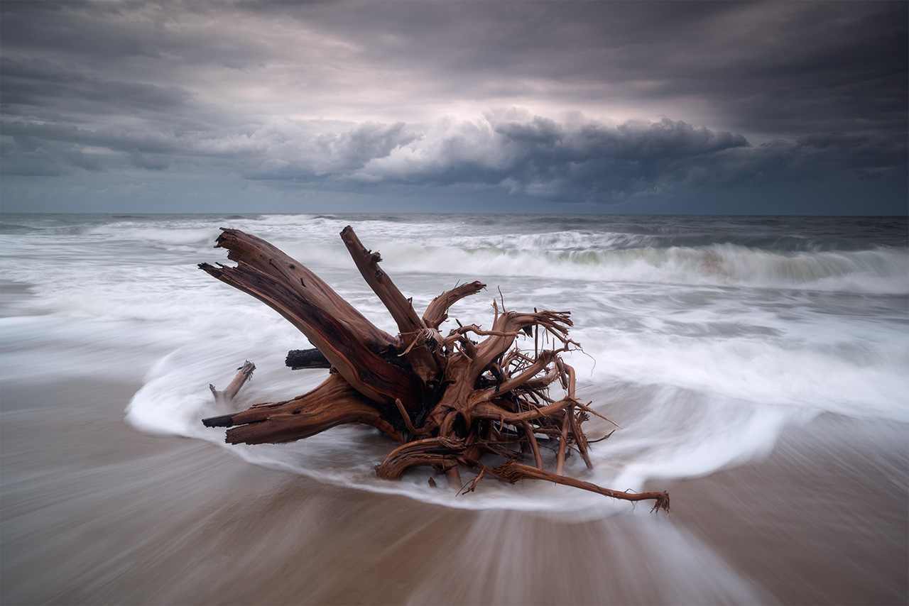
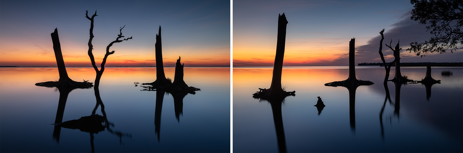
November 2019. The stump of a live oak tree in the Atlantic Ocean near Hatteras Point. Barrier Islands naturally migrate over time. Left to their own devices, the Outer Banks would naturally move southwest. This is hard, obviously, for those who wish to make permanent structures (and roads) on this dynamic strip of sand.
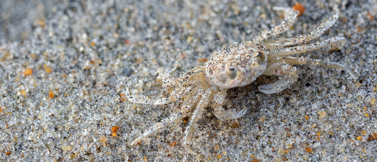
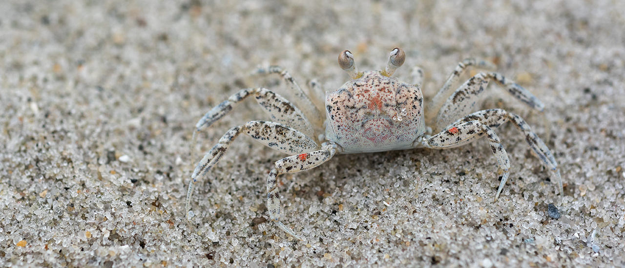
November 2018. Juvenile Ghost Crabs along Cape Hatteras National Seashore. Ghost Crabs are semi-terrestrial, living within the intertidal zone. Their bodies, especially when young, are pale and mottled to camoflauge with the sand grains. They are nocturnal. You’ll likely see them while walking the beach around sunset or later at night in the beam of your headlamp or flashlight.