The Blue Wall
On the western boundary of The Blue Wall, three National Forests–The Chattahoochee, Sumter, and Nantahala–come together in an incredibly rich landscape. The Wild & Scenic Chattooga River snakes directly through the heart. In the middle of The Blue Wall, Duke Power owns considerable land in and around Lake Jocassee where five rivers–The Whitewater, Thompson, Horsepasture, Toxaway, and Eastatoe–meet. While much of the land is privately owned, much is also open to the public, as well as held within easements. On the eastern edges of the Blue Wall are Table Rock State Park and the Mountain Bridge Wilderness Area.
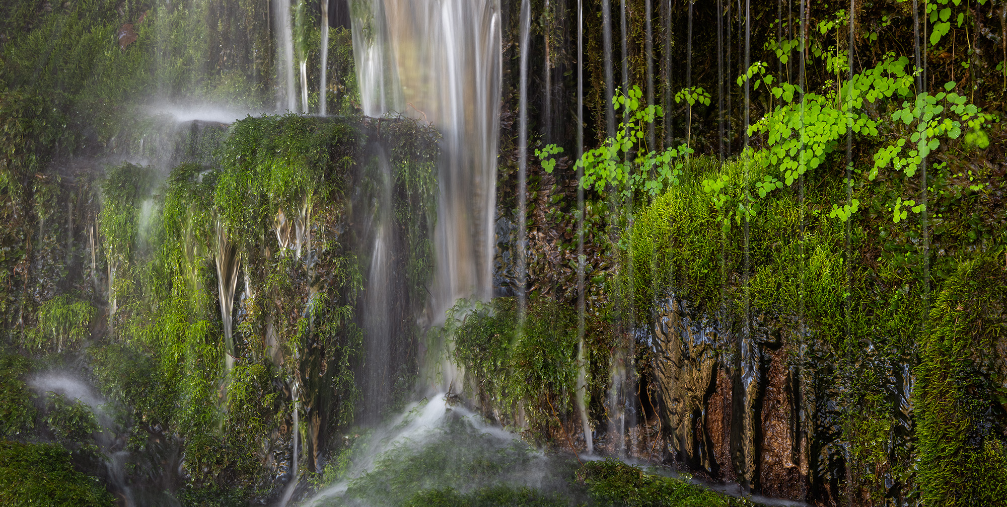
What the Blue Wall has in common along all its areas is water. Rivers, streams, waterfalls, lakes. This is a steep landscape that creates rain and moves water quickly. The Blue Wall averages 60-100 inches of rainfall annually. Areas such as the Jocassee Gorges average 80+ inches of rainfall. Moisture-laden air from the Gulf of Mexico and Atlantic hit The Blue Wall, are forced to rise, cool, condense, and drop their payload. Temperate rainforests result.
The steep topography and high rainfall within a temperate region make The Blue Wall a truly unique landscape of rugged terrain and rich biodiversity. However, The Blue Wall is not an easy place. There isn’t an abundance of amenities and there’s an absence of the easy, thoughtless tourism that exists in nearby National Parks. You’ll work for reward here. The Blue Wall is a place of depth. I try to show this depth within the images that follow. The Blue Wall, ultimately, is the place I go when I want to actively engage the Southern Appalachian Mountains.


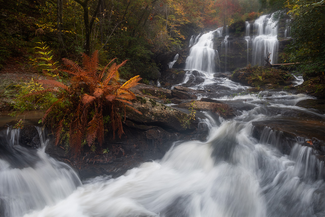
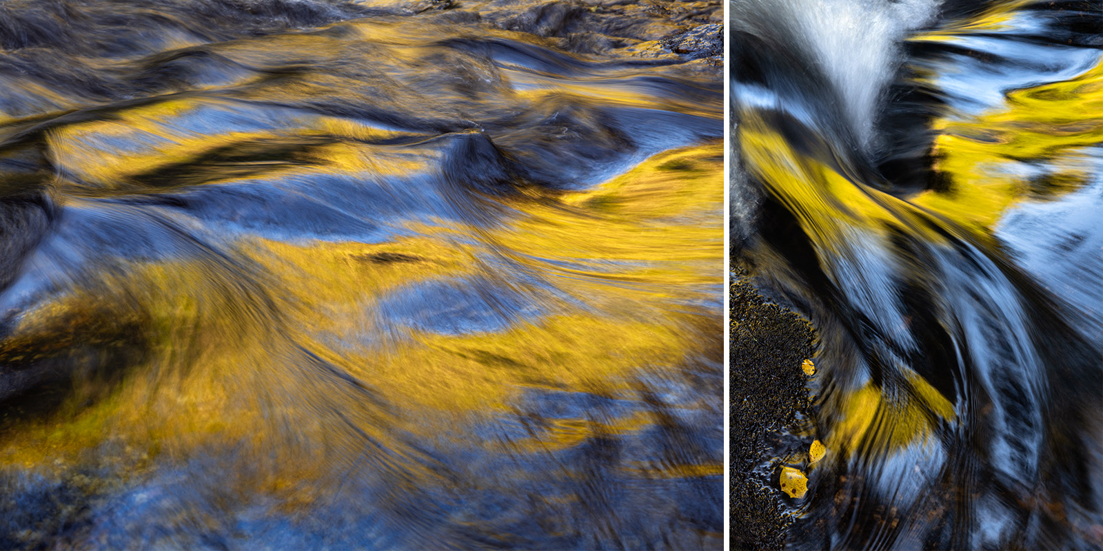
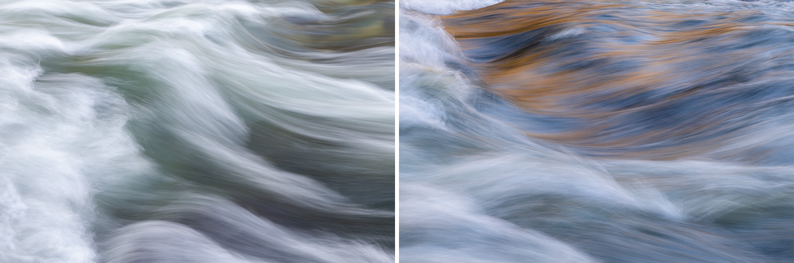
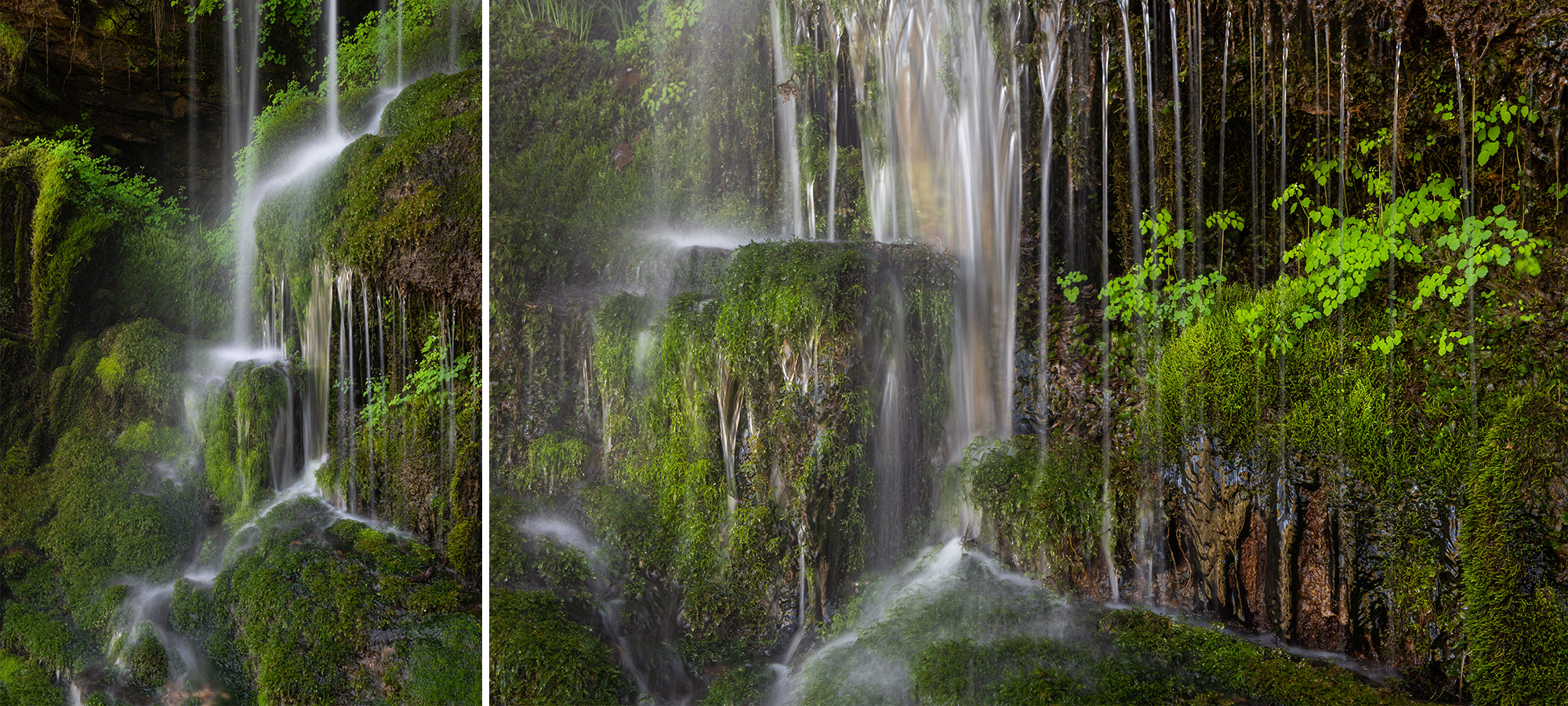













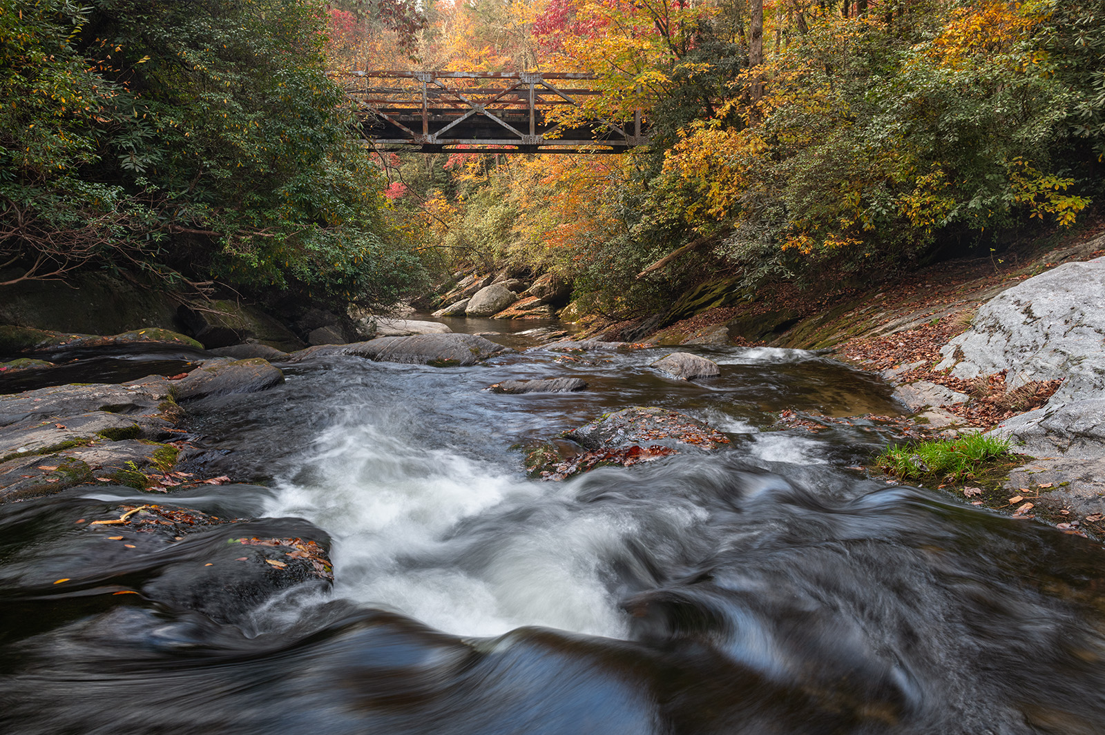
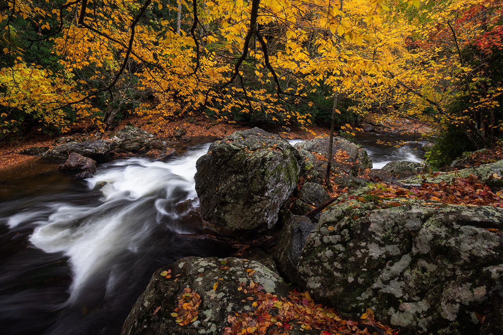
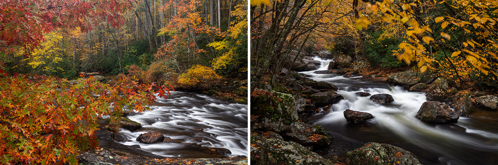
Nantahala National Forest: Bull Pen Road is one of the few access points to the Wild & Scenic Chattooga River in Western North Carolina. Here, the headwaters of the Chattooga pass underneath the roadway and the old iron bridge during the peak of autumn color change. This area of the Chattooga River is one of my favorites because the water can be waded by foot in many places.
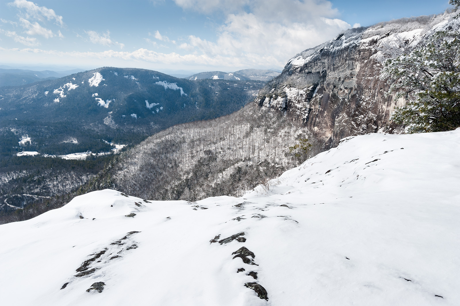
Nantahala National Forest: When I was younger and a bit less risk averse–and the owner of a larger and more capable truck–I drove up to Whiteside Mountain after a winter snow. Hiking down to a vantage along the sheer rock wall, I managed to capture a seasonal winter image of this unique location that I’ve always enjoyed.
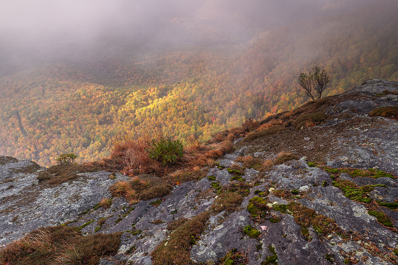
Nantahala National Forest: At over four-thousand feet in elevation, Whiteside Mountain experiences autumn relatively early in the season. However, the views off the sheer cliffs at Whiteside are down into a deep valley several thousand feet lower and thus, later, in autumn color change. The elevational difference between Whiteside and the valley below makes this location particularly challenging during the autumn season.
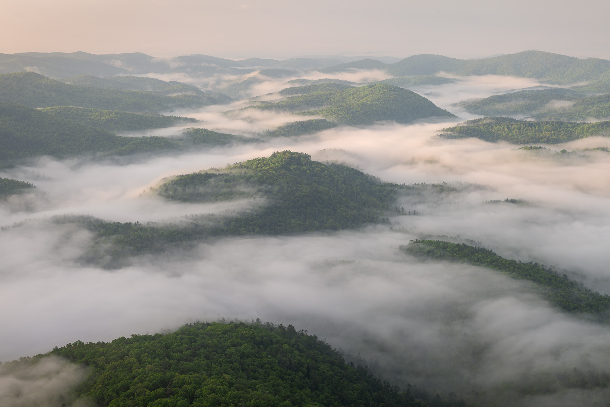
Nantahala National Forest: An inverted cloud sits just above the heavily forested valley beneath Whiteside Mountain along the Blue Ridge Escarpment. The headwaters of the Chattooga River develop beneath this canopy and flow south towards the border of South Carolina and Georgia.
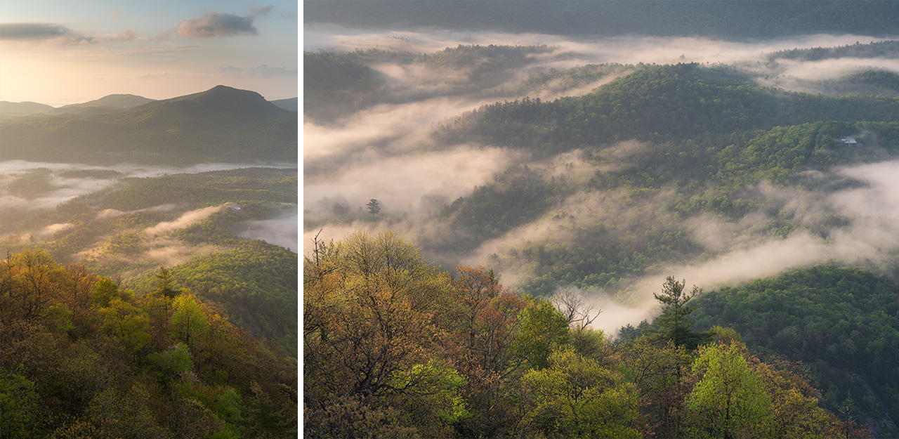
Nantahala National Forest: Spring budding trees climb up to the heights of Whiteside Mountain near Highlands, North Carolina as a cloud inversion blankets the deeper valley below during the first light of morning.
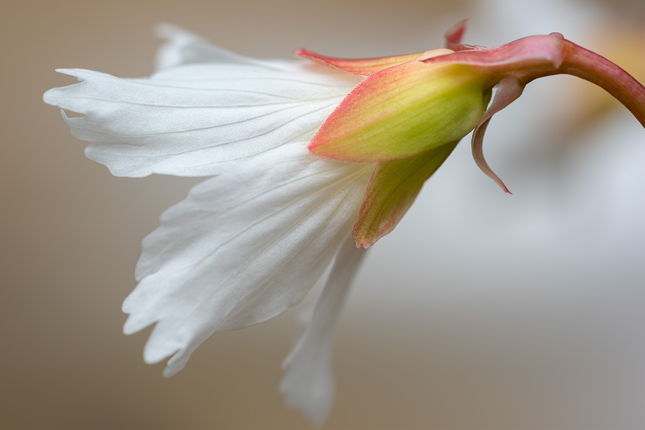
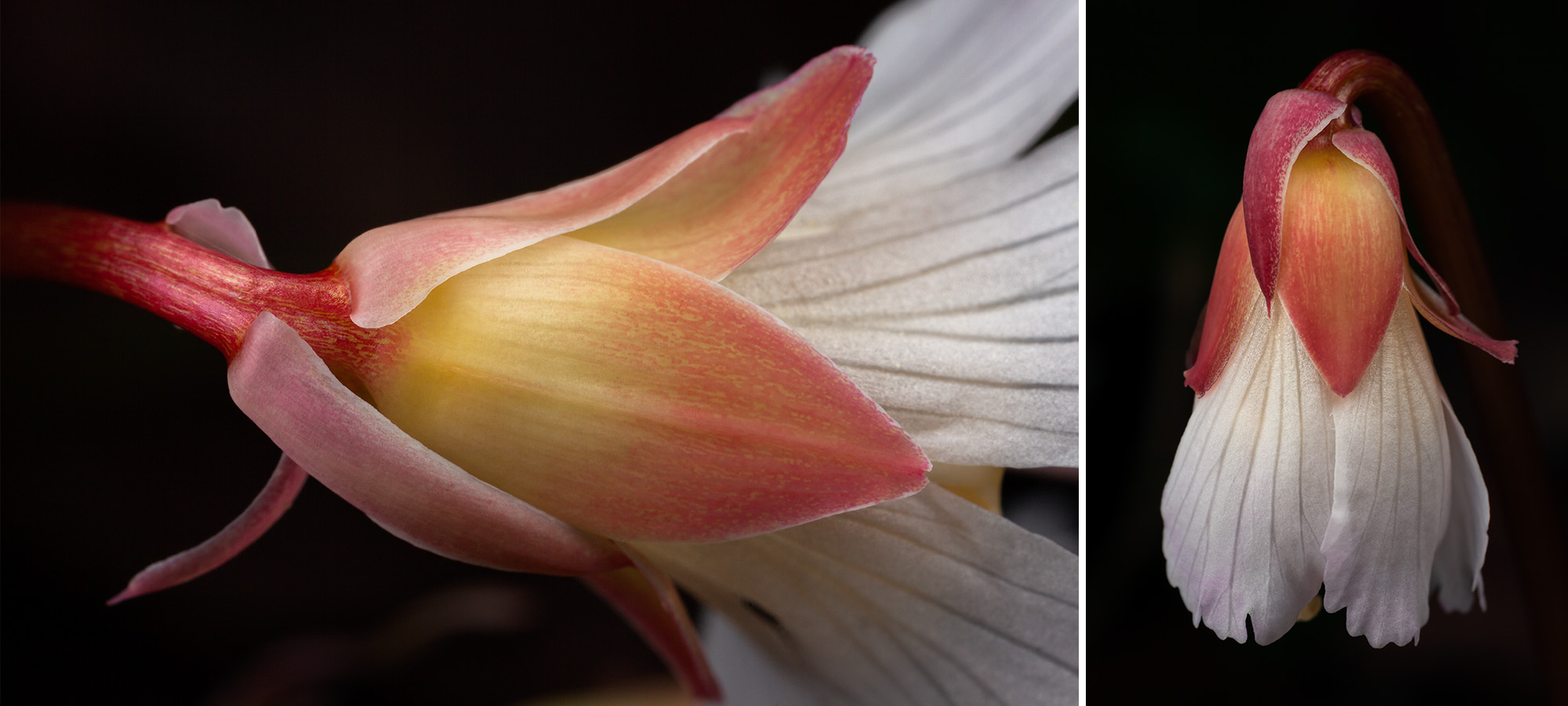
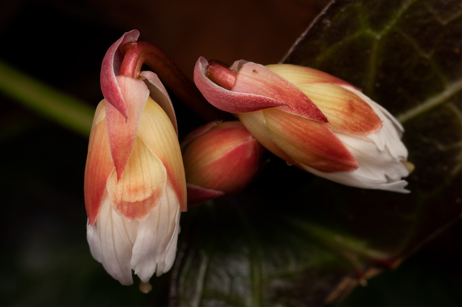
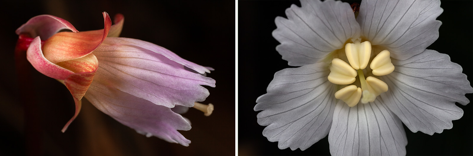
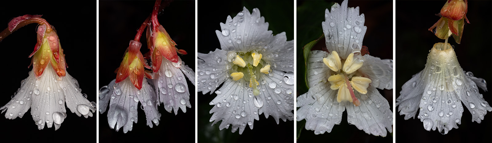
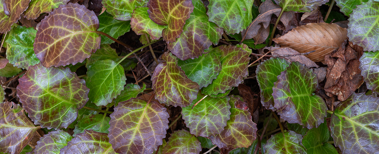
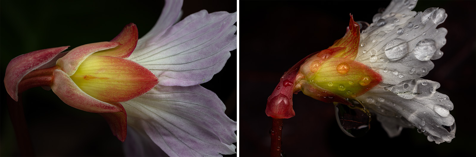
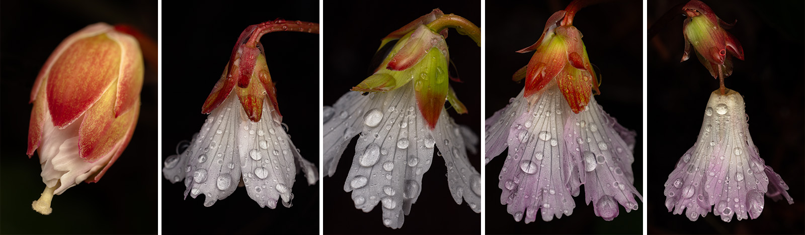
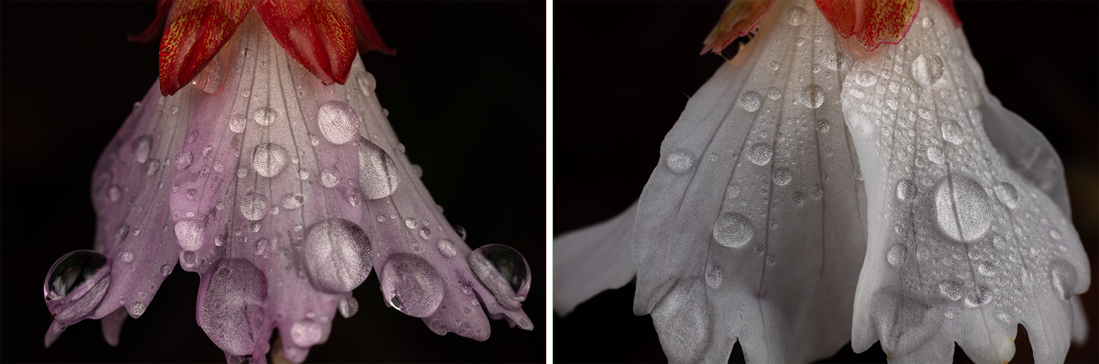
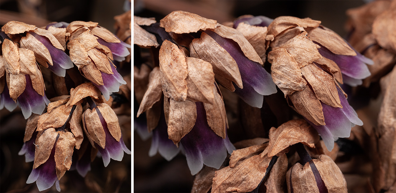
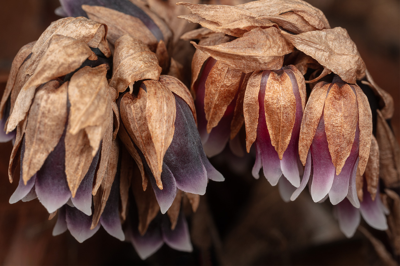
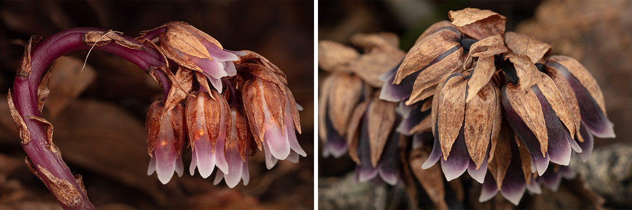


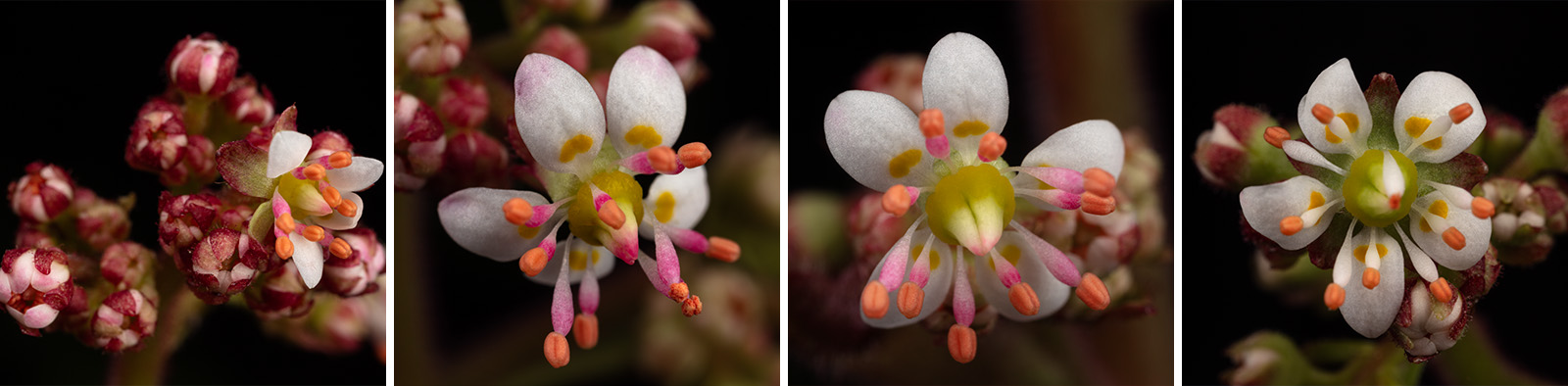
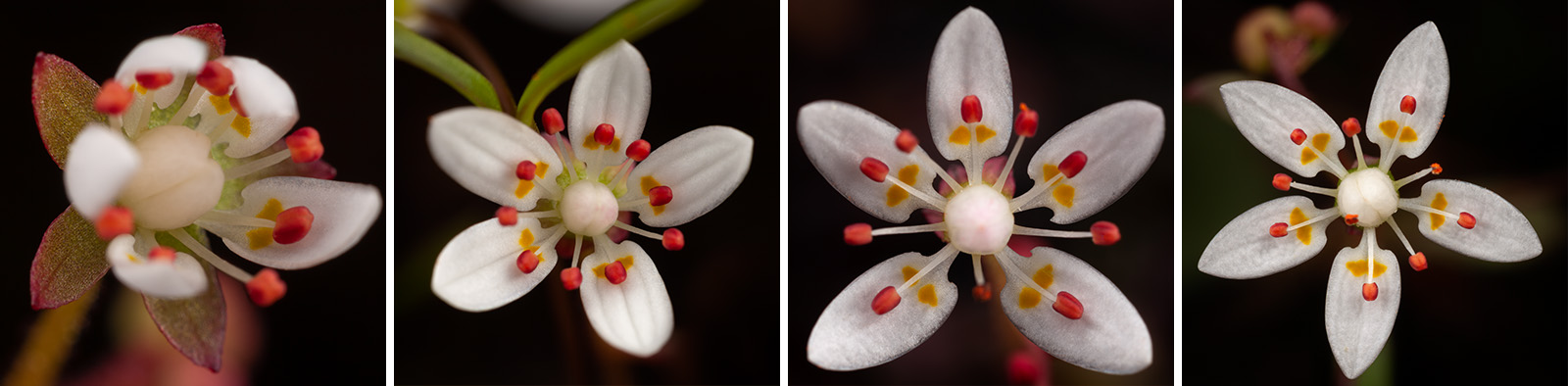
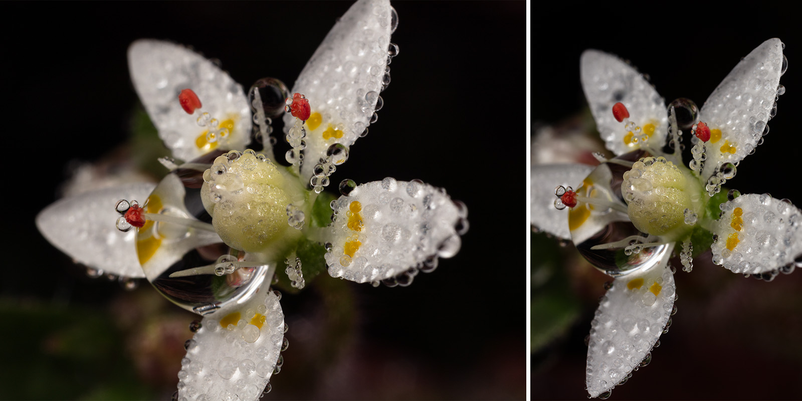
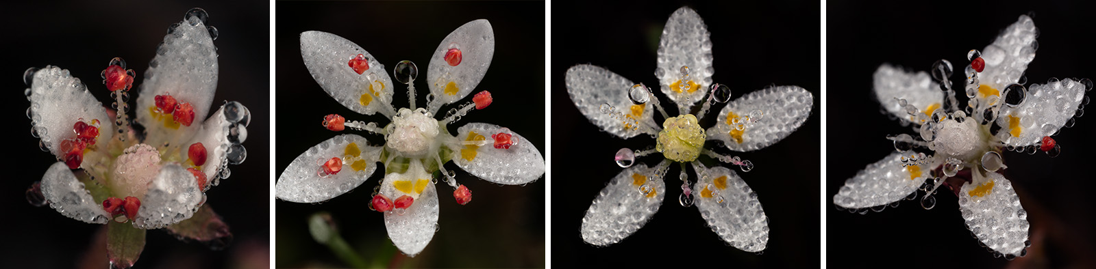
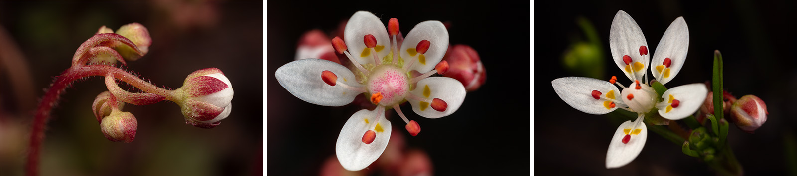
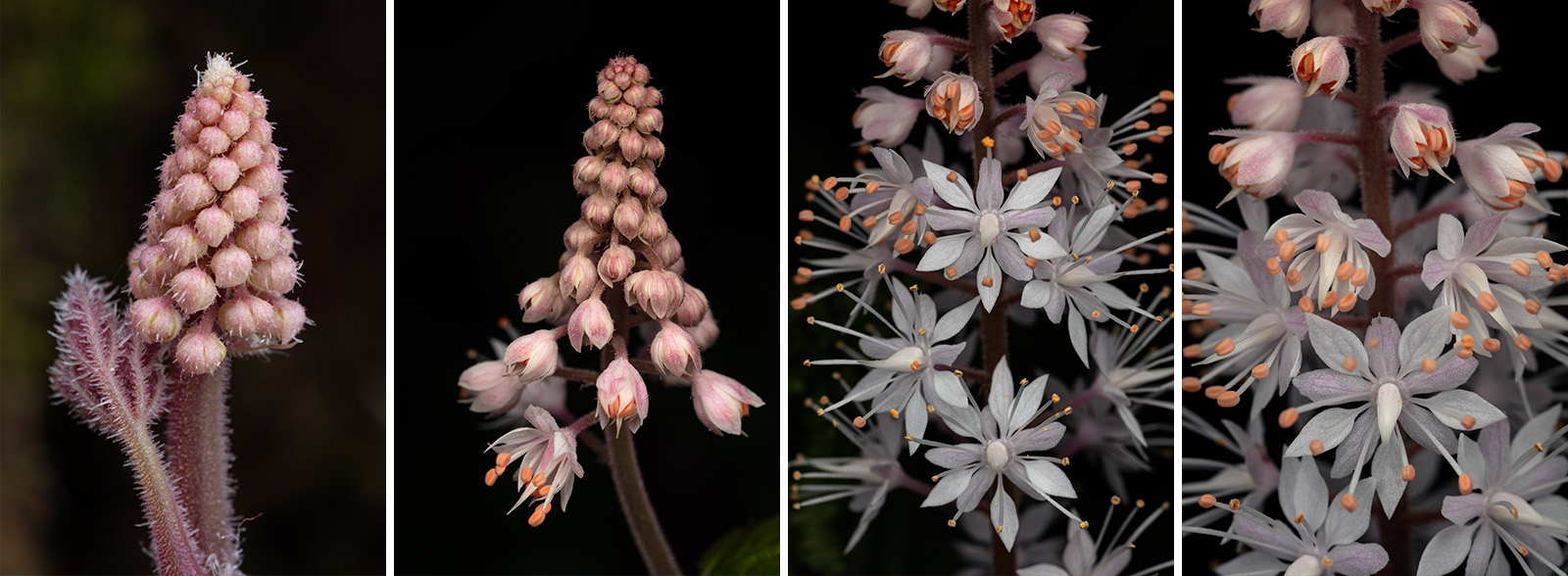
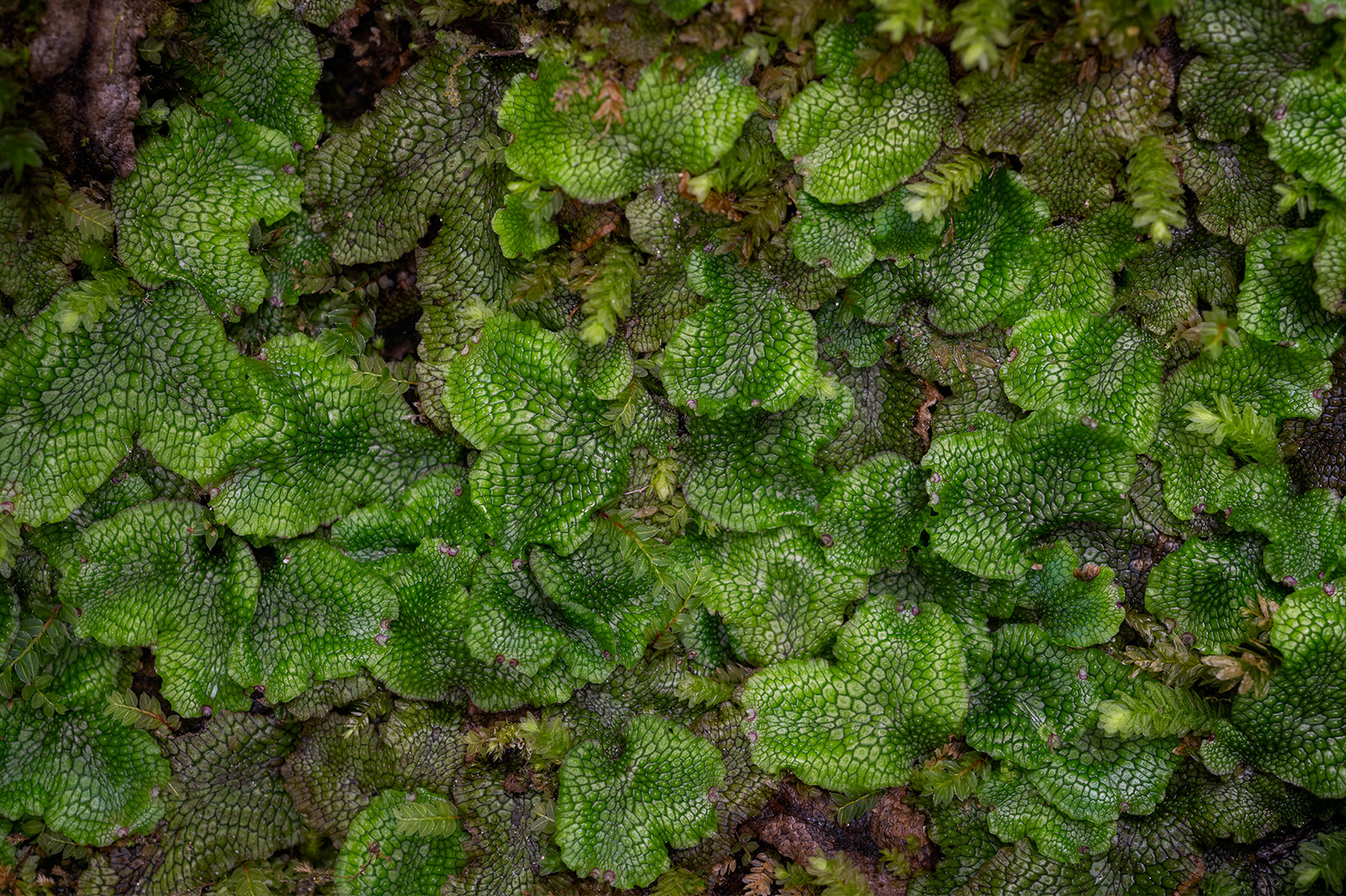
Duke Power Land: I found this beautiful patch of Lettuceleaf Saxifrage within the Eastatoe Creek Heritage Preserve area of Upstate South Carolina. NatureServe ranks Lettuceleaf Saxifrage S2 imperiled in South Carolina. I love to shoot macro images along the rocky walls of this narrow stream (even though the hike in is somewhat long for hauling in heavy gear!).